
LeuCat Adventures
Join us in sharing our adventures as we sail around the world. NEW!!************************************************************************* GET A COPY OF OUR TECHNO-TIPS DOCUMENTS--JUST CLICK ON THEM UNDER THE "FAVORITES" HEADING ON THE RIGHT

24 September 2017
30 August 2017 | San Francisco, CA
07 July 2017
02 July 2017 | Simpson Bay Marina, Cole Bay, Sint Maarten
01 July 2017 | Simpson Bay Marina, Cole Bay, Sint Maarten
30 June 2017 | Simpson Bay Marina, Cole Bay, Sint Maarten
29 June 2017 | Simpson Bay Marina, Cole Bay, Sint Maarten
28 June 2017 | Simpson Bay Marina, Cole Bay, Sint Maarten
27 June 2017 | Simpson Bay Marina, Cole Bay, Sint Maarten
26 June 2017 | Simpson Bay Marina, Cole Bay, Sint Maarten
25 June 2017 | Simpson Bay Marina, Cole Bay, Sint Maarten
24 June 2017
24 June 2017 | Simpson Bay Marina, Cole Bay, Sint Maarten
22 June 2017 | Simpson Bay Marina, Cole Bay, Sint Maarten
21 June 2017 | Simpson Bay Marina, Cole Bay, Sint Maarten
20 June 2017 | Simpson Bay Marina, Cole Bay, Sint Maarten
18 June 2017 | Simpson Bay Marina, Cole Bay, Sint Maarten
17 June 2017 | Simpson Bay Marina, Cole Bay, Sint Maarten
16 June 2017 | Simpson Bay Marina, Cole Bay, Sint Maarten
15 June 2017 | Simpson Bay Marina, Cole Bay, Sint Maarten
Year 10 Days 131 and 132 Boy, Were We Lucky Or What
10 June 2017 | Simpson Bay Marina, Cole Bay, Sint Maarten
Dave/Mostly Sunny
It looks like our decision to sit tight while these three massive storms pass through the North Atlantic was a good one. Today we received an email and a blog post from two friends who attached a BBC News article on how severe the second of the two storms was and how a group of sailboats, sailing from England to Rhode Island, were hit and damaged, with two boats lost. Fortunately, the crew of both boats were rescued: one by the Canadian Coast Guard and the other from the QM2. The low that they sailed through had hit hurricane force winds of 90 MPH. To see the article, go to: http://www.bbc.com/news/uk-40234274
We also received an email from our friends, Ally and Wayne, of S/V Blue Heeler. They have just arrived in the Azores safe and sound after a three week passage. The last few days of their passage they were nailed from the extreme lower arm of this storm. They had sustained winds in the 25 to 35 knots range with gusts about 40 knots. Seas were in the 12 to 15 feet range. The conditions were such that, for the very first time during their circumnavigation efforts, they felt it was best to set their drogue. We are so happy that they made it safely. Our other friend, Brian and his crew on S/V Coruisk are still a few days from reaching the Azores but it sounds like they are fine.
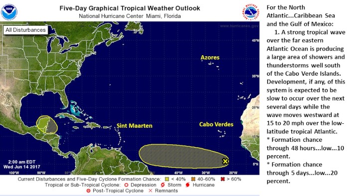
We are still puzzled but the extremely complex weather patterns that are currently in the North Atlantic and are predicted to stay that way. The huge high pressure cell that I previously wrote about and posted a picture from the Windy.com site is still there using the ECMWF European model. I have posted a picture of what it predicts from noon of June 19 to this blog. However, when I use the Windy.com site to analyze the NOAA CMF model, I get a totally difference picture of the weather. This model result is posted above this this blog. You can see that it shows a nasty low sitting to the east of the high and west of the Azores. It has a profound impact on the wind patterns, making the passage to the Azores very difficult. Plus, it does not show the extent of the front hanging off the low with all of the very nasty storms trailing along this long front. Sigh! Which model will end up being correct, if either of them are, is a question that we will be trying to answer in the next week.
Comments
| Vessel Name: | Leu Cat |
| Vessel Make/Model: | Lagoon 440 |
| Hailing Port: | Dana Point, CA |
| Crew: | Mary Margaret and Dave Leu |
| About: | Our goals are to spend the next 10 to 15 years cruising around the world and sharing this adventure with family and friends. |
| Extra: | S/V Leu Cat is Lagoon 440 rigged for blue water sailing. It is 44 feet long with a 25 foot beam |
| Social: |
|
Leu Cat's Photos - (Main)
 |
 |
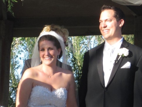
Wedding and Reception photos April 18, 2015, Yosemite, CA
49 Photos
Created 30 April 2015
|
 |
Here are some pics that I took while visiting w/ my parents in the Galapagos Islands
22 Photos
Created 29 March 2010
|
 |
 |
 |
 |
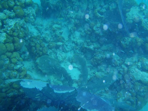 |
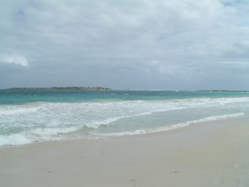
Pictures of the sea life in the cut between Little Jost Van Dyke and Green Cay, BVI
30 Photos
Created 17 March 2008
|
 |
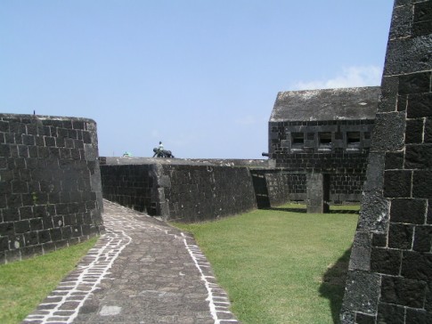
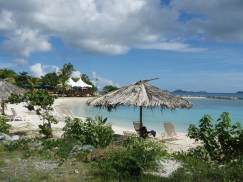
Here are a number of pictures of St. Maarten and the places we visited
36 Photos
Created 21 January 2008
|
 |
Photos of Nanny Cay
6 Photos
Created 11 January 2008
|
 |
Join us as we explore the Spanish, American, and British Virgin Ilsands.
15 Photos
Created 20 October 2007
|
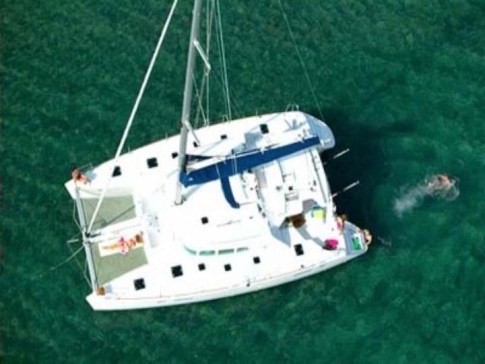 |
To help get you ready to go sailing with us, we wish to introduce you to Leu Cat so you will know what to expect when you get here! Just click on the first photo and then use the "next" button to advance through this slide show.
19 Photos
Created 19 October 2007
|
 |
This is a collection of photos documenting our sail through the Windward Islands during May/June 2006 with our son, David Paul.
62 Photos
Created 14 October 2007
|
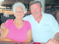
Who: Mary Margaret and Dave Leu
Port: Dana Point, CA
Gallery


Table of Contents
Favorites
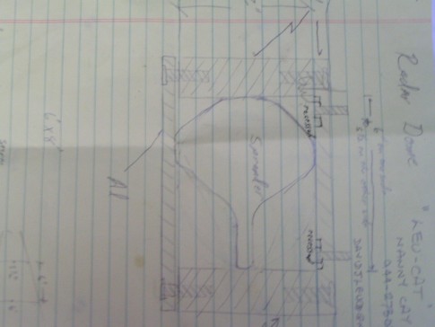
- Get A Copy Of Our Techno Tips Document
- Galley Tips For Cruisers
- Land Travel Tips For Cruisers
- Get A Copy Of Our Yanmar Drive Cone Repair Manual
- Updated Pirate Report
- My Bother Don's and Debbie's Blog
- A Great Sailing Blog
- A remarkable Sail Blog
- Celestial Navigation
- Here is Another Great Sailing Blog
- S/V Totem's Sail Blog
- S/V Infini's Blog Site
SailBlogs Friends


