
LeuCat Adventures
Join us in sharing our adventures as we sail around the world. NEW!!************************************************************************* GET A COPY OF OUR TECHNO-TIPS DOCUMENTS--JUST CLICK ON THEM UNDER THE "FAVORITES" HEADING ON THE RIGHT

24 September 2017
30 August 2017 | San Francisco, CA
07 July 2017
02 July 2017 | Simpson Bay Marina, Cole Bay, Sint Maarten
01 July 2017 | Simpson Bay Marina, Cole Bay, Sint Maarten
30 June 2017 | Simpson Bay Marina, Cole Bay, Sint Maarten
29 June 2017 | Simpson Bay Marina, Cole Bay, Sint Maarten
28 June 2017 | Simpson Bay Marina, Cole Bay, Sint Maarten
27 June 2017 | Simpson Bay Marina, Cole Bay, Sint Maarten
26 June 2017 | Simpson Bay Marina, Cole Bay, Sint Maarten
25 June 2017 | Simpson Bay Marina, Cole Bay, Sint Maarten
24 June 2017
24 June 2017 | Simpson Bay Marina, Cole Bay, Sint Maarten
22 June 2017 | Simpson Bay Marina, Cole Bay, Sint Maarten
21 June 2017 | Simpson Bay Marina, Cole Bay, Sint Maarten
20 June 2017 | Simpson Bay Marina, Cole Bay, Sint Maarten
18 June 2017 | Simpson Bay Marina, Cole Bay, Sint Maarten
17 June 2017 | Simpson Bay Marina, Cole Bay, Sint Maarten
16 June 2017 | Simpson Bay Marina, Cole Bay, Sint Maarten
15 June 2017 | Simpson Bay Marina, Cole Bay, Sint Maarten
Year 10 Day 142 The Dreaded Tropical Wave
21 June 2017 | Simpson Bay Marina, Cole Bay, Sint Maarten
Dave/ Sunny With Passing Showers
Well, it final happened. These past few weeks we have been waiting for it to happen as it does each summer. It was just a matter of time and it is the main reason we will not be sailing across the North Atlantic in July. The hurricane season really starts to ramp up in July as the summer temperatures rise and the ocean sucks up the heat as the sun focuses its energy on the water directly below it. It is the seasonal rise in the ocean’s surface temperature that spawns the seasonal hurricanes. Hurricanes are just nature’s way of releasing the built up temperature in the upper 10 to 15 feet of the ocean (i.e., that portion of the ocean which is above the thermocline). It is a reflection of the second law of thermodynamics which basically says that energy naturally tries to distribute itself equally. For example, if you heat up a metal rod at one end, the heat will naturally move away from that end, traveling down the rod until the temperature up and down that rod is the same.
Hurricanes are just nature’s reflection of this second law of thermodynamics as it applies to the surface of the ocean. If you have a very warm layer of water sitting on the surface, the heat will try to move from one fluid (the ocean), to the other fluid (the air that sits on top of the ocean). As it does, it rises (we have all learned that heat rises), the air expands due to its warming, winds form as a result of that expansion, the Coriolis effect due to the earth’s spinning takes over and soon you have cyclonic movement of the wind around the low pressure cell that formed due to the rising of the heat. As this phenomenon grows and strengthens, as more and more heat is released from the ocean, a tropical depression is formed that then grows into a tropical storm and grows even more into a full-fledged hurricane.
With the advent of global warming (yes, it is really happening), there is more and more heat being put into the oceans and the result is the formation of more powerful hurricanes. As I wrote above, it is just nature’s way of trying to distribute the heat the earth and its oceans are soaking up, year after year, into the atmosphere in an attempt to balance the amount of heat around the world. So basic in concept, so deadly as a result.
The reason for the above rambling about the second law of thermodynamics as it applies to the oceans and atmosphere is that the weather models Mary Margaret and I use to predict the weather across the North Atlantic are now showing the formation of the season’s first major tropical wave that is projected to track NW from the coast of Africa, right across the route we wish to follow to get from Sint Maarten to the Azores. Up until now, most of the storms that have forced us to stay put in our marina, have been coming from the continental US. While there have been a number of other storms that have moved across our intended route that have come from the east, they have been a direct response to the major low pressure systems that moved east from the US. The west moving storms have just reflected the impact these lows have had on the North Atlantic high pressure system that the lows have pounded. I know it is a bit complicated but trust me on this.
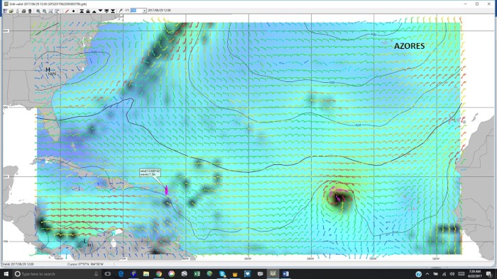
Anyway, the models are showing that a major tropical wave will form off the coast of Africa during the last week of June and will be moving NW into the center of the North Atlantic. I have posted a picture showing what one of the models is predicting for June 29th. As you can see, it is a very nasty storm as reflected by its intense blackness. Yikes! To make matters worse, you can also see the smattering of storms that are approaching Sint Maarten (where the boat symbol is) and the nasty long front that is predicted to have come off of the continental US.
All of this just makes for a very nasty, ugly situation across the North Atlantic. It also means that the likelihood of us sailing to the Azores is all but over. Sigh. The end of our cruising lives is now becoming clearer. While we will sit here in Sint Maarten a bit longer just to make sure that these model predictions are accurate, there is so much going on across the North Atlantic that we now see little chance of it being wrong. This dreaded tropical wave is making it a sad day on Leu Cat. Sigh…
Comments
| Vessel Name: | Leu Cat |
| Vessel Make/Model: | Lagoon 440 |
| Hailing Port: | Dana Point, CA |
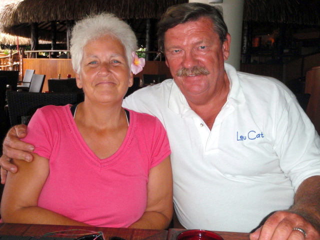
| Crew: | Mary Margaret and Dave Leu |
| About: | Our goals are to spend the next 10 to 15 years cruising around the world and sharing this adventure with family and friends. |
| Extra: | S/V Leu Cat is Lagoon 440 rigged for blue water sailing. It is 44 feet long with a 25 foot beam |
| Social: |
|
Leu Cat's Photos - (Main)
 |
 |
Wedding and Reception photos April 18, 2015, Yosemite, CA
49 Photos
Created 30 April 2015
|
 |
Here are some pics that I took while visiting w/ my parents in the Galapagos Islands
22 Photos
Created 29 March 2010
|
 |
 |
 |
 |
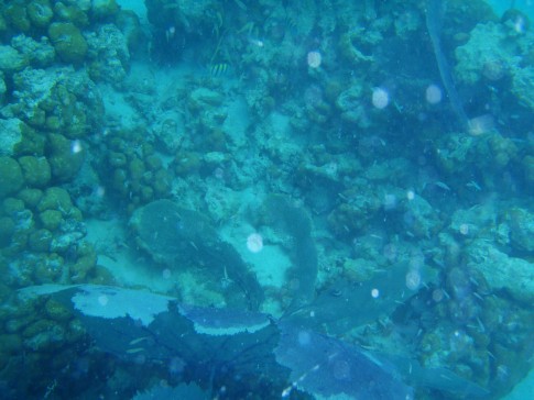 |
Pictures of the sea life in the cut between Little Jost Van Dyke and Green Cay, BVI
30 Photos
Created 17 March 2008
|
 |
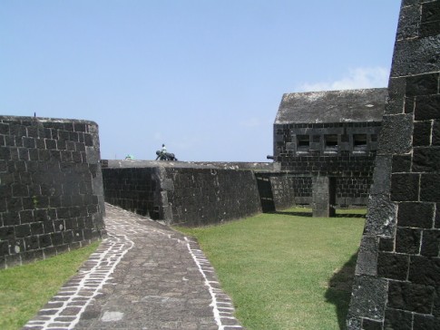
Here are a number of pictures of St. Maarten and the places we visited
36 Photos
Created 21 January 2008
|
 |
Photos of Nanny Cay
6 Photos
Created 11 January 2008
|
 |
Join us as we explore the Spanish, American, and British Virgin Ilsands.
15 Photos
Created 20 October 2007
|
 |
To help get you ready to go sailing with us, we wish to introduce you to Leu Cat so you will know what to expect when you get here! Just click on the first photo and then use the "next" button to advance through this slide show.
19 Photos
Created 19 October 2007
|
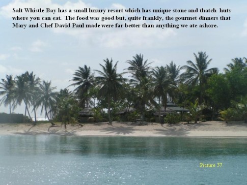 |
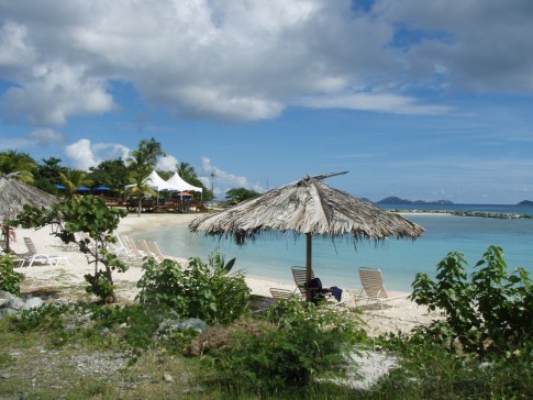
This is a collection of photos documenting our sail through the Windward Islands during May/June 2006 with our son, David Paul.
62 Photos
Created 14 October 2007
|
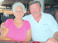
Who: Mary Margaret and Dave Leu
Port: Dana Point, CA
Gallery


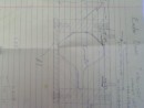
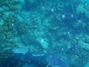
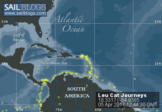
Table of Contents
Favorites
- Get A Copy Of Our Techno Tips Document
- Galley Tips For Cruisers
- Land Travel Tips For Cruisers
- Get A Copy Of Our Yanmar Drive Cone Repair Manual
- Updated Pirate Report
- My Bother Don's and Debbie's Blog
- A Great Sailing Blog
- A remarkable Sail Blog
- Celestial Navigation
- Here is Another Great Sailing Blog
- S/V Totem's Sail Blog
- S/V Infini's Blog Site
SailBlogs Friends


