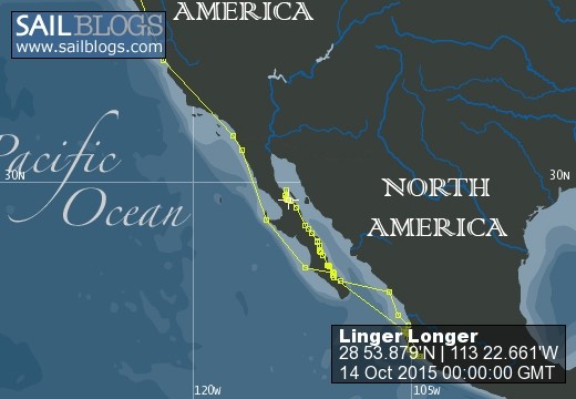
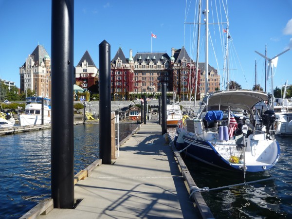
Linger Longer
14 September 2016
06 August 2016
09 July 2016
19 March 2016
19 December 2015
18 December 2015
18 December 2015
03 November 2015
18 July 2015
24 May 2015
04 April 2015
31 March 2015
26 February 2015
15 February 2015 | Barra de Navidad
07 February 2015 | Tenacatita Bay
04 February 2015
26 January 2015 | 19 18.051'N
04 January 2015 | La Cruz, Nayarit, Mexico
25 December 2014 | La Paz, Baja California Sur, Mexico
01 December 2014 | Ensenada, Mexico
Reflections by Kirk 5-26-14
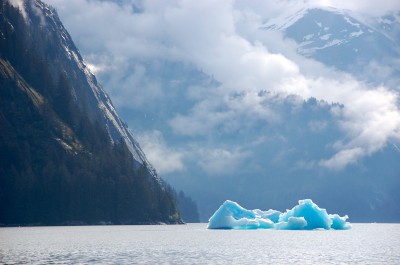
26 May 2014 | Tracy Arm Cove
Reflections by Kirk 05-26-2014
Since last I wrote, some cool things have happened. But first, a couple of things that I forgot to mention about Petersburg in the last reflections. The harbor is the most alive one that I have ever been in. The place was loaded with schools of small fish from very tiny fry to six to ten inch herring. It must have been a festival thing as lots of fathers took their life vest clad adolescent children down to the docks to fish. At first, I was a little confused because most of the poles had lines with five or six hooks attached and no bait. It turns out that this is a time honored traditional way to fish for herring in Petersburg. You walk the docks looking for schools of herring, which contain thousands of fish swimming close together. When you find one you just drop the line down and then pull it up snagging the fish on a hook. I watched lots of giggling children pull up a fish a minute. The north harbor, where we were tied up, was officially opened one hour before we arrived. The mayor of Petersburg greeted us when we landed. We were the first boat ever to occupy slip #53.
From Petersburg, we went to another fine anchorage called Cannery Cove. From the spot where we dropped anchor, we counted at least 13 waterfalls, but the highlights were yet to come. Our next anchorage is not named on the charts as this area has not been extensively surveyed, but the guidebooks refer to it as Tracy Arm Cove. From where we were anchored, we could see some 25 or 30 miles south down Endicott Arm, snow-capped peaks lining both sides for the entire distance. Several icebergs were in view. We have been anchored in places where we had concerns about big logs moving in and out with the tides, but this was the first time we have had those same concerns regarding icebergs. We put our anchor down at low tide and saw a bergie bit stranded on a beach by the falling tide. As the tide started to rise again, the Volkswagen Bug sized piece of ice floated in our direction. We were developing strategies for dealing with this situation, from trying to push it away with our aluminum boat hook pole, to lassoing the thing and tow it away with our dingy. Just about the time when we needed to decide on a course of action, the current steered the ice away from us and we assumed that it would be carried right on out of the cove. We slept peacefully. The next morning we awoke to another low tide and saw not only the Volkswagen sized bergie, but another larger one stranded on the beach.
The next day we travelled 20 some miles up Tracy Arm, another beautiful fiord to see our first ever tidewater glaciers, Sawyer and South Sawyer up close and personal. The first 18 miles or so were absolutely stunning, more vertical walls topped with snow. A few icebergs and bergie bits were floating around, not hard to steer around, but they sure do keep you alert. Some of the shapes were just fantastical. With a little imagination we saw shapes of birds, fish, houses, boats, airplanes, and aliens. Many of the pieces, we presume older ones from the bottom of the glacier, were a stunningly blue color, some like sparkling sapphires. After about 18 miles, we saw much more ice and now had to slow down and look for pathways through the ice. At about mile 20 Tracy Arm tees with the left side going to Sawyer Glacier and the right side going to South Sawyer Glacier. We were stuck. The ice looked much too thick to head left towards Sawyer Glacier, but there appeared to be a small open area near an island to the right towards South Sawyer Glacier, so we slowly meandered to the right. When we got to the end of the island, we could see no clear path through the hundreds of pieces of ice and turned around. It now appeared that there was some spacing between the ice pieces going to Sawyer Glacier so we went for it. We were surprised that all of this ice, which appeared to be stationary, is actually in constant motion responding to the currents. Kris did an excellent job of finding pathways and steering through the ice until we finally got close enough to see where Sawyer Glacier met the salt tidewater. There was a concern that the ice would close up again behind us, but we were on a mission. Wow, it was really big. The ice totally cleared away for the last mile or so; and a good thing, because we were much too enthralled with the glacier to be watching for ice. The vertical face was a mixture of blue and white with lots of cracks. There were a few cave-like tunnels where it met the water. We watched three small sections break off the face and crash into the water. The face, constricted by the rock walls through which it squeezed down into the water, was about one quarter of a mile wide and many hundreds of feet tall. It was sunny and every thing was just so big and beautiful that we could and maybe should have shut off the engine and just drifted around for a few hours, but we still had those concerns of the ice behind closing up and preventing an escape. We turned around and started the 20-mile trip back to Tracy Arm Cove. What a surprise as we turned the corner at the intersection of the tee to see a huge Carnival cruise ship just sitting there as though deciding what to do next. Kris again skillfully steered the boat around the cruise ship and ice to where things thinned out and we could move at about half normal cruising speed. The currents had changed the whole pattern of ice. Where an hour or two prior the ice seemed to have been packed around the intersection of the tee, it had now thinned out, but stretched out as far as we could see. We have heard different names for these pieces of ice… icebergs, bergie bits, and growlers and we assume that the different names correspond with different sizes. Only a small portion of the ice pieces extend above the water level so all of the ice we could see was actually many times larger under water. We saw pieces from the size of a breadbox all the way up to house sizes again with amazing shapes and color. When we finally got back to Tracy Arm Cove to anchor for the night, a school bus size piece was stuck on a rock at the entrance.
Our mission for the next day was to travel about 20 miles up Endicott Arm to a seldom-visited place called Ford’s Terror. This is another tee shaped waterway with the bottom leg about five miles long and each leg of the top extending about a mile from the intersection. There is a reason why this place is seldom visited. You need to pass through a short, narrow, shallow, twisting spot where currents are said to run at up to 6 knots. This section has not been surveyed so the charts do not show any pathway and there are no official current predictions to know when the current will be slack (which means that for a very short time the current stops flowing). Fortunately, intrepid souls have been here before us and have written guidebooks to give us hints of how to negotiate this potentially very dangerous spot, but this is much different than what we have become accustomed to. We have come to rely on our electronic charting systems to navigate through tricky places. This is similar to what many people now have in their cars or on their phones. It shows an icon representing our boat superimposed on the chart of the area. Using the GPS system, we can determine the nearly exact position of our boat on the chart as we move along. Marine charts will show water depths and have a myriad of symbols to indicate underwater obstructions like rocks and wrecks. We always need to use our own senses in conjunction with the electronics as some of the marine surveys were done a long time ago and are not quite as accurate as the modern GPS system. For this passage, the electronics were worthless, as the underwater area has not been surveyed. We did know that the dangerous area was maybe a few hundred yards long and that we had to make an S-turn through rock studded shoals. We also knew that slack water was somewhere between one half and two hours after high tide at Juneau. One of our books had a hand drawn chart showing the location of the shoals and the shape of the S-turn, but did not give us any hint of when to start turning. The last important hint came from a different book that said when you see the double waterfall turn to 290 degrees magnetic. We were a bit nervous about running the boat onto some rocks 90 miles from the nearest town and mountains blocking any potential radio communication outside. We visually determined that there was not much current flowing and proceeded to look for the double waterfall. When the waterfall came into view, we turned per the directions and were pointed right at the opposite shore and adjusted course enough to what seemed like it should work. I went up to the bow to spot for rocks and saw that we were on a path between some patches of kelp. This is a good sign. We judged that we were about halfway through; and just as we could see around the last bend in the S-turn, there sits another sailboat coming the other way. Crap! There is no way that we can turn around and have no idea how far we can move to stay out of the way. We quickly got on the radio and found that they had heard our radio announcement that we were coming through and were waiting in deep water. So we safely made it through and were about to reap the reward.
When we reached the intersection of the tee, the beauty stunned us. I know that we keep on describing the wonderful things we have seen, but Kris and I both agreed that this was the best yet. We were in what seemed like a two-mile long by one-quarter-mile wide lake. We could see three deep glacier-carved valleys running down to the water, each with a combination of steep bare rock walls and some gentler tree covered slopes, snow everywhere at the peaks. A humongous piece at the top of one section of vertical rock, maybe a thousand feet high, had broken off creating a huge landslide with large rocks and scree wiping out everything in its path a few hundred yards wide right down into the water. Obviously, this was recent as pieces of green trees were mingled with the rock down at the waters edge. Glad we were not around for that event as the resulting waves and clouds of dust must have been immense.
While we were dropping the shrimp pot in 300 feet of water, three dolphins swam around us in an apparent greeting. We finally anchored in 85 feet of water at the end the west arm to the northeast of a tall waterfall from one valley and south of the river mouth from another valley. The porpoises seemed to crave company as they almost always came by and swam around the boat for a while when we came out on deck. We were the only people there. It was sunny and warm enough for an air-dry after I took a shower on board. This is a special place and worthy of our fears in getting there.
Later in the afternoon, the wind kicked up a bit and we witnessed another incredible sight. At first I thought that a fire had started on a slope opposite us. But then we saw the “smoke” erupt from many areas that the wind was buffeting. Now we were certain of the source of yellow pollen that had been covering our boat and everything else for over a week. The wind lifted dense columns of pollen upward and looked somewhat like the smoke from a fire of green wood. We had planned to spend the next day exploring the shallow east arm in the kayaks, but it seemed like the weather would change for the worse and departed in time to catch high water slack at the narrows. On the way out, we retrieved a whole bunch of shrimp from the pot. If we ever get back this way, we will most definitely stop again in Ford’s Terror.
Our intentions are to next head up towards Juneau and then hopefully get the required permit to spend some time in Glacier Bay National Park
Oh yeah, we did manage to capture a small bergie bit; and that evening, prepared cocktails using 10,000 year-old ice. Very cool.
Bottoms Up
Kirk
Comments
| Vessel Name: | S/V Linger Longer |
| Vessel Make/Model: | Sceptre 41/43 |
| Hailing Port: | Seattle, WA |
| Crew: | Kirk & Kristin Doyle |
| Extra: | |
| Home Page: | http://www.k2doyle.com |
S/V Linger Longer's Photos - Main
 |
Heading north into the Sea of Cortez for the summer where there is less change of hurricanes.
72 Photos
Created 19 December 2015
|
 |
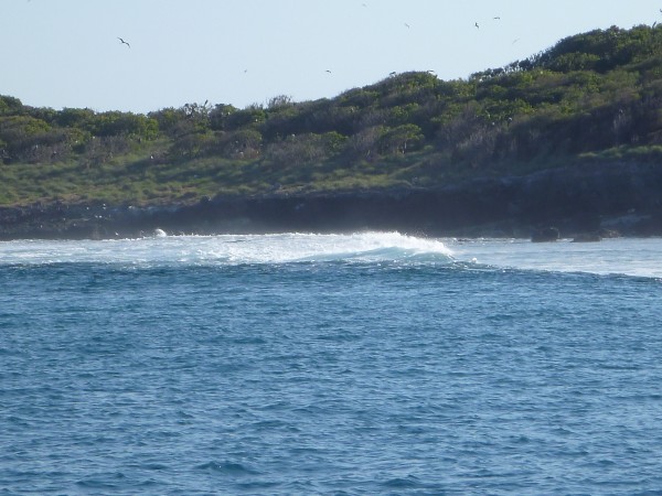 |
Isolated volcanic island and bird sanctuary 18 miles off coast
17 Photos
Created 4 April 2015
|
 |
 |
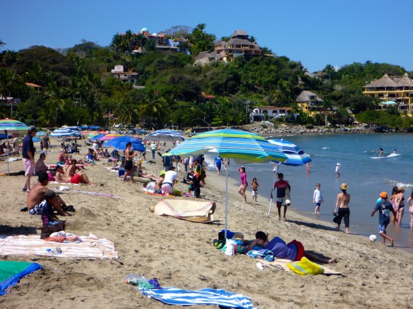
Heading back north, lingering longer at various anchorages.
23 Photos
Created 4 February 2015
|
 |
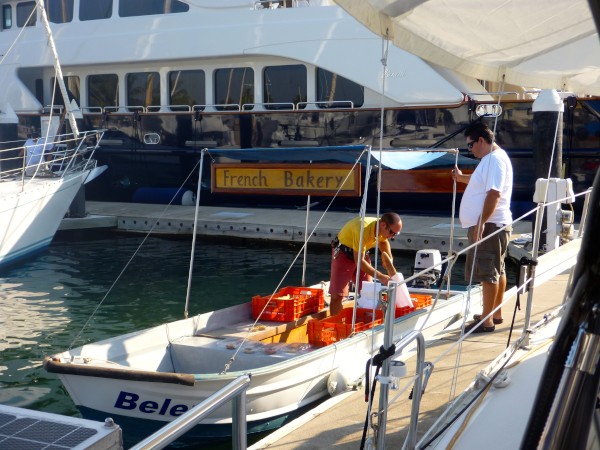
We made a quick overnight passage south to Manzanillo.
11 Photos
Created 3 February 2015
|
 |
 |
 |
 |
 |
 |
Who: Kirk & Kristin Doyle
Port: Seattle, WA