Sailing Off the Edge Again
03 October 2022
• 180 miles west of Bora Bora
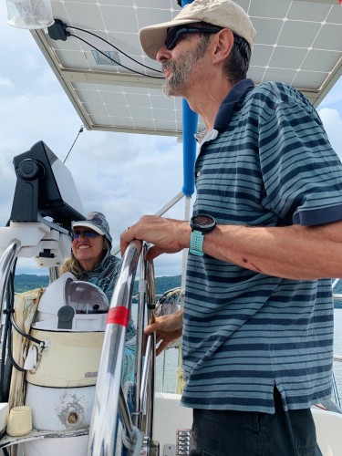
by Karl
Somehow I ended up with a gap in our paper charts of this part of the Pacific Ocean. When I ordered charts, I picked out the one that covered Panama to the Marquesas, another chart for all of French Polynesia, and what I thought was the next one west, for the Samoas, Fiji, and Tonga.
As it turns out, the French Polynesia chart only extends to 153 degrees west longitude, and the Samoa-Fiji-Tonga map doesn't start until 167 degrees west - a 15 degree, 900 mile gap. So today we sailed off the edge of our charted waters.
It would be one thing if all that Pacific Ocean was just empty space. But as it turns out, this section of ocean is chock-a-block spotted with atolls and seamounts that must be avoided, like Palmerston Atoll, and Manuai, a nature preserve that we just passed south of.
We do have two independent electronic chart systems for this stretch of ocean (chartplotter and iPad), so we are not exactly running blind. But because I like to keep a paper backup in case we lose all our electronics, I used some graph paper to plot out a chart of this part of the ocean, with grid lines for 150, 155, 160, and 165 west and 10, 15, and 20 south, and I plotted the atolls to be avoided on it.
We are making good progress so far, running downwind with the drifter all day. We became adept at snuffing it just in time for the squalls, and we switched to the Genoa with the evening squall.
I am more than a little concerned about what looks like a tropical storm right over Tonga next Sunday in both the GFS and Euro weather models. We plan to stay well north of the rhumb line, and maybe slow down if necessary, to keep clear of it.
Through Ad and Yolanda on Windsong (Dutch flagged, as it turns out), we are now connected with three other boats on their way to Tonga - Winsdong, Tokerau (whose crew we met at the gendarmerie), and SV Area.

Comments