Threading Our Way Through the Chimerical Reefs of the Tongan Trench
21 October 2022
• Tongan Trench
by Karl
When Met Bob saw we were bent on sailing (NOT motoring) east of the Tongan Islands, he emailed that we might âsneak throughâ in good visibility with low wave heights, but we needed to be careful of âshallowsâ at 23 and 25 south. I'll admit these features had fallen off our map. Literally. I can remember having a conversation with Robin before we left about how the Navionics app showed extensive blue patches (denoting shallow water) south of Tonga. At the time I asked Robin how likely these extensive reefs were, geophysically speaking.
But the Navionics e-chart in our chart plotter shows no such extensive shoals. On the other hand, the Navionics app on the iPad shows âdepths less than 334 feet.â In the same spot, the chart plotter shows soundings of, like, 12,400 feet. The paper chart seems to hold the key to the discrepancy â�" this chart shows any number of rocks, reefs, or obstructions reported by mariners over the years. Most of these do show up on the chartplotter, but only as a small (+) at the highest zoom level - indicating a rock awash at low tide, with no other information. Some show up as a dotted circle, indicating an obstruction, with no other information.
The paper chart provides cryptic information for some of these features - sometimes just a date (1896) and sometimes a notation like âAlbert Meyer reef (1911) PD.â My guess is that a steamship named the Albert Meyer observed what they thought was a reef in 1911, but no-one has been able to find it since. Hence the âPDâ - position doubtful.
Some of these features seem really unlikely, like the ârock awash at low waterâ surrounded by soundings in the 20,000 foot range. That means there is a pinpoint four mile high spire of rock, or an unmapped mountain spread out over the seabed. Robin assures me that such a spire of rock could not exist and that such a mountain would have a gravity signature that would place it on the ocean bathymetry maps. Robin's theory is that semi-submerged volcanic pumice rocks looked like a reef, and floated away.
Other features seem more likely, like the 79 and 102 meter soundings near the top of the Tongan Ridge. Oddly these soundings are on our paper chart, outlined in blue for shallow water, but they do not show up on the e-chart even at the highest zoom level.
The Navionics app, on the other hand, seems to draw a 8-10 mile diameter blue shallow water circle around each of these features, whether any soundings support it or not. I suspect the app writers lawyers advised them to make these potential hazards show up, but it is not clear why these caution zones don't show up on the Raymarine chartplotter display of the Navionics chart chip.
Anyway, I have spent some time adding marks for these hazards that will display at all zoom levels on the chartplotter. I added some virtual buoys too. Not that there is any danger of scraping our keel or centerboard on any of these reefs - they are too deep for that. But a sudden contour change like that can mean breaking seas. And what if there really is a ârock awash at low waterâ in the middle of this ocean?
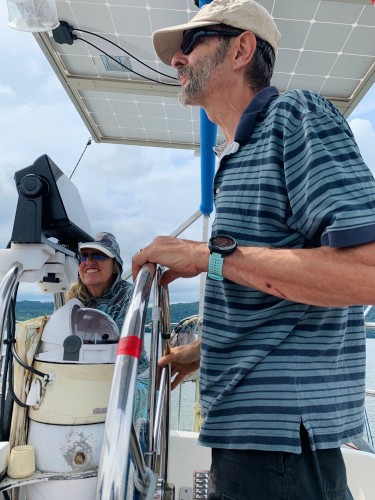
So, what we thought would be a free and clear open ocean passage is now a maze of rock marks and virtual buoys. Robin was able to turn the engine off and set sail in a south southeast wind at 0800. The day brought a freshening breeze and showers. But even though we could easily lay Whangerei right now, we are pinching up hard to avoid some rocks and reefs that may or may not exist.

Comments