
Madcap Sailing

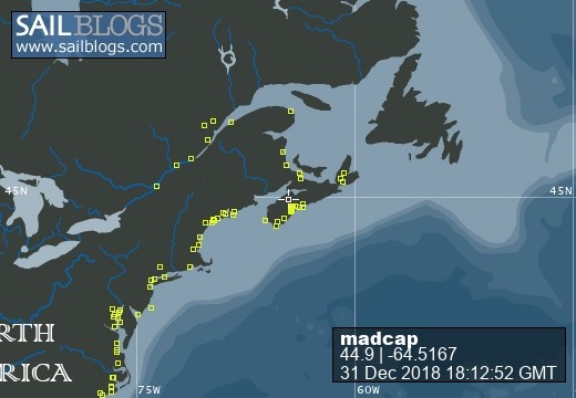
31 December 2018 | Gold River Marina, Nova Scotia, Canada
06 August 2018 | Mahone Bay, Nova Scotia
15 June 2018
26 May 2018 | Gold River Marina, Gold River, NS
18 May 2018 | Gold River Marina, Gold River, NS
24 March 2018 | boat in Gold River, NS and crew in Halifax
22 May 2017 | Whittaker Creek, Oriental, NC
15 May 2017 | Boat in Oriental, crew in New Orleans and Nova Scotia
26 April 2017 | Oriental, NC
26 April 2017 | Oriental, NC
23 April 2017 | Oriental, NC
20 April 2017 | Ocean Isle Marina, Ocean Beach, NC at Mile 335.6
17 April 2017 | Dewees Creek, near Charleston, NC
14 April 2017 | St Simons Island
12 April 2017 | Fernandina Beach, FL
11 April 2017 | St Augustine, FL
07 April 2017 | Vero Beach, Florida
04 April 2017 | Ft Pierce
03 April 2017 | Ft Pierce, FL
30 March 2017 | Ft Pierce, Florida
Seeking Suitable Anchorages
10 March 2015 | Twin Cays
Beth / windblown and "ballsy"
I have given up describing our activities of late as “hiding from the wind.” What we do is “seek anchorages suitable for wind conditions.” And of course we are living, breathing embodiments of that famous saying, “You cannot control the wind, but you can adjust your sails.”
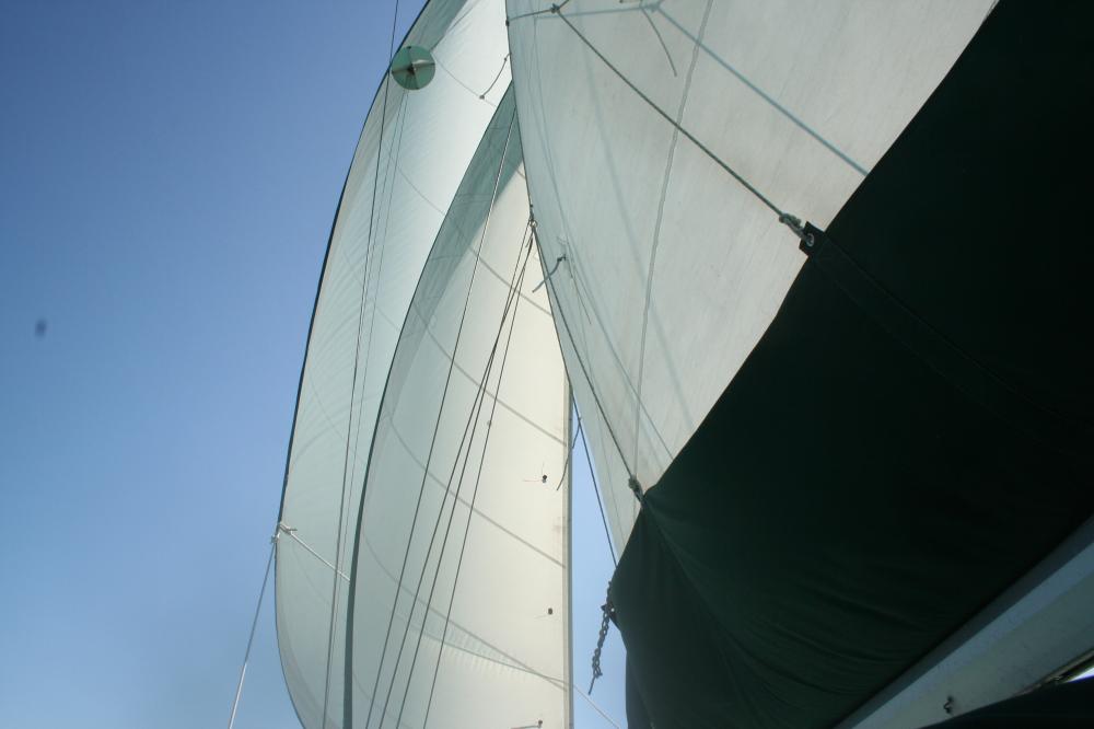
We sailed down to Placencia, and we sailed back up to Sapodilla Lagoon. We finally made it to Garbutt Cay, and then Tobacco Range, and now we are nestled in Twin Cays just a mile inside the reef. And we have had fabulous times in all of them – from actual sailing instead of motor sailing to snorkeling to bird watching to enjoying Sundowners with friends.
After a couple of nights in Sapodilla Lagoon again, we headed NE to make one more try for Garbutt. We stopped on the east side two years ago with Liam on board and in the company of Barb and Bob on Tif Blue. This time, we approached from the west, and Jim declared it to be a “ballsy anchorage!” There were a couple of reasons for that.
The latest malfunction aboard is the map feature of our chart plotter. The waypoints Jim enters show up just fine, but there is no map under them – so no indication of where land is. Even though the charts (maps) are not exactly precise here, it is handy to see the waypoints superimposed on the chart. So … we are paying more attention than ever to eyeball navigation. We cruised up close to the little cays that make up Garbutt Cay, in 50 feet of water, knowing from the Rauscher book that we could find 25 feet if we edged in close enough. We also had a little anchor icon on the chart plotter showing a waypoint Bruce gave us way back in Isla Mujeres in 2012. These two pieces of information took us really close to shore (close enough that Jim on the bow kept looking around with a “WHAT are you doing?” look on his face), past an anchored catamaran and into 25 ft. depth, and we finally stopped just opposite the little cut between two cays, seemingly within a stone’s throw of the light (meaning shallow) turquoise water off the beach. We don’t often go closer ashore than a catamaran can, and I’m not sure we would have tried it if it weren’t for that waypoint.
The decision to tuck in so far paid off well overnight; the wind shifted around to the NE but we were protected from swells because of the shoal area in front of us – and we didn’t start rocking till morning when the wind was even farther North. It was a beautiful little spot, and although there was no sign of Harry the self described “mayor” we met last time, we had a pleasant dinghy ride around, and enjoyed aperitifs with the folks on Amaleo.
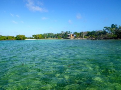
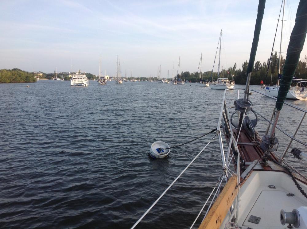
We moved on to Twin Cays via a snorkeling stop at South Water Cay, and ended up spending 3 nights here. It is a new anchorage to us this year, but one we will put on the preferred list for windy weather. It is a long, narrow, totally protected anchorage that is just a 40-minute motor from the reef and the fine daytime anchorages off South Water Cay. There is room for a number of boats but we shared it with only an Italian boat the first night, a Sunsail charter boat the second night, and we were on our own the third night. It’s a good idea to enter in good light, because on our first trip in we encountered some very skinny water – just inches below the keel – but that was only because we made the turn into the channel between the two cays too early. Yikes! I swear my heart just stops beating entirely when that happens. We didn’t touch bottom though, and it was only about 20 seconds before the depth sounder started showing better numbers again. On the way back out the next morning we could see the shallow area clearly and the depth along our course was never less than 11 feet. We made a track on the chart plotter so our return that evening was a piece of cake!
We are really glad we came back in here because in a 20-25 kt wind that howls through the rigging and makes the wind generator roar, we had just a very gentle rocking – no swell, no fetch across an expanse of water, no worrisome strain or bucking on the anchor. It is a suitable anchorage indeed.
The next couple of postings will tell of our daytime activities and our evening socializing!
We sailed down to Placencia, and we sailed back up to Sapodilla Lagoon. We finally made it to Garbutt Cay, and then Tobacco Range, and now we are nestled in Twin Cays just a mile inside the reef. And we have had fabulous times in all of them – from actual sailing instead of motor sailing to snorkeling to bird watching to enjoying Sundowners with friends.
After a couple of nights in Sapodilla Lagoon again, we headed NE to make one more try for Garbutt. We stopped on the east side two years ago with Liam on board and in the company of Barb and Bob on Tif Blue. This time, we approached from the west, and Jim declared it to be a “ballsy anchorage!” There were a couple of reasons for that.
The latest malfunction aboard is the map feature of our chart plotter. The waypoints Jim enters show up just fine, but there is no map under them – so no indication of where land is. Even though the charts (maps) are not exactly precise here, it is handy to see the waypoints superimposed on the chart. So … we are paying more attention than ever to eyeball navigation. We cruised up close to the little cays that make up Garbutt Cay, in 50 feet of water, knowing from the Rauscher book that we could find 25 feet if we edged in close enough. We also had a little anchor icon on the chart plotter showing a waypoint Bruce gave us way back in Isla Mujeres in 2012. These two pieces of information took us really close to shore (close enough that Jim on the bow kept looking around with a “WHAT are you doing?” look on his face), past an anchored catamaran and into 25 ft. depth, and we finally stopped just opposite the little cut between two cays, seemingly within a stone’s throw of the light (meaning shallow) turquoise water off the beach. We don’t often go closer ashore than a catamaran can, and I’m not sure we would have tried it if it weren’t for that waypoint.
The decision to tuck in so far paid off well overnight; the wind shifted around to the NE but we were protected from swells because of the shoal area in front of us – and we didn’t start rocking till morning when the wind was even farther North. It was a beautiful little spot, and although there was no sign of Harry the self described “mayor” we met last time, we had a pleasant dinghy ride around, and enjoyed aperitifs with the folks on Amaleo.
We moved on to Twin Cays via a snorkeling stop at South Water Cay, and ended up spending 3 nights here. It is a new anchorage to us this year, but one we will put on the preferred list for windy weather. It is a long, narrow, totally protected anchorage that is just a 40-minute motor from the reef and the fine daytime anchorages off South Water Cay. There is room for a number of boats but we shared it with only an Italian boat the first night, a Sunsail charter boat the second night, and we were on our own the third night. It’s a good idea to enter in good light, because on our first trip in we encountered some very skinny water – just inches below the keel – but that was only because we made the turn into the channel between the two cays too early. Yikes! I swear my heart just stops beating entirely when that happens. We didn’t touch bottom though, and it was only about 20 seconds before the depth sounder started showing better numbers again. On the way back out the next morning we could see the shallow area clearly and the depth along our course was never less than 11 feet. We made a track on the chart plotter so our return that evening was a piece of cake!
We are really glad we came back in here because in a 20-25 kt wind that howls through the rigging and makes the wind generator roar, we had just a very gentle rocking – no swell, no fetch across an expanse of water, no worrisome strain or bucking on the anchor. It is a suitable anchorage indeed.
The next couple of postings will tell of our daytime activities and our evening socializing!
Comments
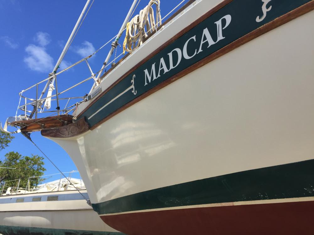
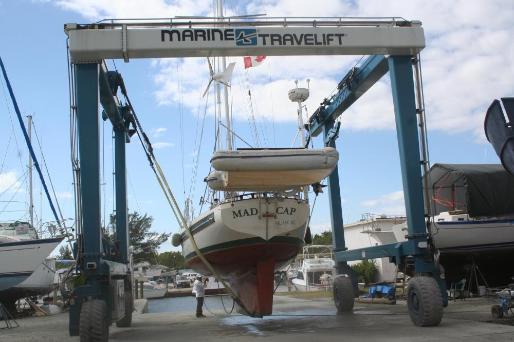
| Vessel Name: | Madcap |
| Vessel Make/Model: | Bayfield 36 |
| Hailing Port: | Halifax, Nova Scotia |
| Crew: | James D Bissell (Jim) and Elizabeth Lusby (Beth) |
| About: | Beth and Jim have spent several winters sailing southern waters on s/v Madcap. They love Halifax in the summer, but loved to spend the winters exploring warmer places - the Bahamas, Cuba, Mexico, Guatemala, Belize, Honduras. |
| Extra: | |
| Social: |
|
Madcap's Photos - Mad Cap Sailing (Main)
 |
 |
 |
 |
 |
 |
 |
 |
 |
 |
 |
 |
 |
 |
 |
 |
 |
 |
 |
 |
 |
Guatemala pics starting Nov 22, 2012
43 Photos
Created 6 December 2012
|
 |
 |
trip to Zion National Park and Bryce Canyon National Park (via Las Vegas)
23 Photos
Created 4 November 2012
|
 |
 |
 |
 |
 |
 |
 |
Madcap
Who: James D Bissell (Jim) and Elizabeth Lusby (Beth)
Port: Halifax, Nova Scotia
SailBlogs Friends


