Madcap Sailing
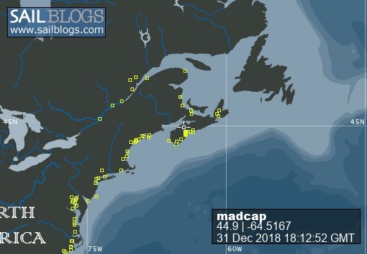
31 December 2018 | Gold River Marina, Nova Scotia, Canada
06 August 2018 | Mahone Bay, Nova Scotia
15 June 2018
26 May 2018 | Gold River Marina, Gold River, NS
18 May 2018 | Gold River Marina, Gold River, NS
24 March 2018 | boat in Gold River, NS and crew in Halifax
22 May 2017 | Whittaker Creek, Oriental, NC
15 May 2017 | Boat in Oriental, crew in New Orleans and Nova Scotia
26 April 2017 | Oriental, NC
26 April 2017 | Oriental, NC
23 April 2017 | Oriental, NC
20 April 2017 | Ocean Isle Marina, Ocean Beach, NC at Mile 335.6
17 April 2017 | Dewees Creek, near Charleston, NC
14 April 2017 | St Simons Island
12 April 2017 | Fernandina Beach, FL
11 April 2017 | St Augustine, FL
07 April 2017 | Vero Beach, Florida
04 April 2017 | Ft Pierce
03 April 2017 | Ft Pierce, FL
30 March 2017 | Ft Pierce, Florida
Tides and Bridges: Making the ICW Work for Us
23 April 2017 | Oriental, NC
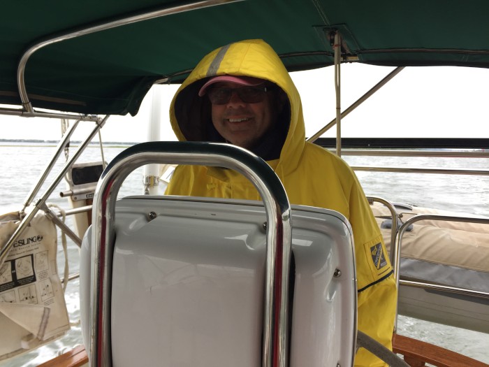
Beth / windblown and downright chilly
We had a series of pre-sunrise departures in order to arrive on time for bridge openings and place ourselves in shallow water inlets at mid to high tides. And for the most part, our timing worked out well.
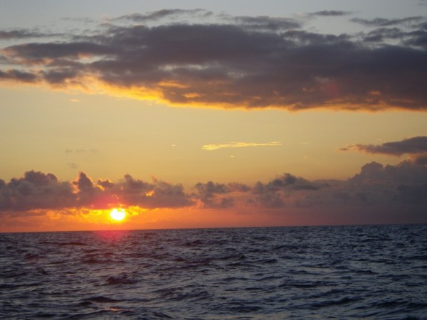
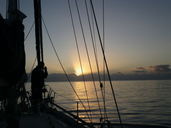
We left Golden Isle Marina and motored into the golden path of a rising sun in order to be at Shallotte Inlet, and then Lockwood's Folly before the tide dropped too far. We knew that both spots had been recently dredged, but because these inlets fill in again so quickly, we still worried a little. As it turned out, no problem at mid-tide - the shallowest was 8' by R36 in Lockwood's Folly and we probably would have sneaked through at low tide too. (Are you curious about Lockwood's Folly? The story is that Mr Lockwood built himself a very fine boat, and on his first trip through the nearby inlet, he discovered its draft was too deep; it went aground and stayed there, and his sad experience is remembered by all who traverse the bend in the ICW channel that avoids those shoals.)
Our timing to turn the corner by Southport and head up the Cape Fear River worked out well too, more by happenstance than planning. By the time we got there, the wind had picked up behind us and we were very happy to see that that the current against us was almost slack. A vigorous opposing current meeting that wind would have made us fearful indeed. And then when we pulled into Carolina Beach, we found that the city has installed lovely big mooring balls that made us feel very secure in the continuing wind. (Pick up a ball, any ball, and a very nice gentleman will come by in the evening to collect your $20, provide information and even take your garbage away.)
We pass under many 65' fixed bridges in the ICW, and most of the lift or swing bridges will open on request, but there are a few with restricted hours - on the hour or every half hour - that it helps to time just right. We had to push hard to catch the 8am opening of the Wrightsville Beach Bridge, but we called the bridge master and he said, "Hurry, hurry, hurry." We throttled up as much as we could, and slid through about 3 minutes past the hour. We got to the Figure Eight Island bridge just at the right time without hurrying or dawdling, but we hurried too much on the way to the Surf City Bridge 18 miles along and had to jockey around for a full half hour, avoiding other boats in the narrow channel.
Our skinny water at the New River Inlet was skinny indeed by the R74 and R72, and we wouldn't have wanted to be any lower than mid-tide. The wind picked up again by the time we turned into Mile Hammock Bay and all during the evening we could feel the tug of the anchor secured deep in the muck as the wind howled through the rigging.
The original plan had been to go as far as Beaufort the next day, and on to Oriental on Monday, but consultations with the weather sites put an end to that idea. Once again, we set off early to catch a bridge - the Onslow Beach Bridge - and then motored along under overcast skies and very chilly wind. I wore my warmest top layers, including my heavy foul weather jacket, wind resistant pants, two pairs of socks, toque and gloves! AccuWeather said it was 19 and felt like 14, but it sure felt colder on the water. Jim and I traded places at the wheel and tucked under the dodger to keep warm enough. It seems so ridiculous to be complaining about wind when we are on a sailboat - but the angle and intensity makes a difference in what we can do.
We chugged past Morehead City and Beaufort and the Cedar Creek anchorage in Adams Creek, and after another check of Monday's weather forecast, decided we might as well keep on going. Jim called Knut at Whittaker Creek Yacht Harbour to see if someone would be available to help us into the slip we had reserved, and the answer was yes.
As we came out of the chilly but calm Adams Creek into the choppy Neuse River, we seriously regretted having left the outboard motor on the dinghy (not a problem in the ICW), and with every wave that lifted us and dropped us, I worried that we would lose it. We took some good splashes over the bow, but in contrast to the last time we were crashing through waves, this lasted only 2 miles before we pulled into the calm channel at Whittaker Creek.
That's a tricky one - especially for our 6' draft. The water here isn't tidal, but the level goes up and down by as much as a couple of feet according to wind direction. With Knut guiding us on his handheld VHF radio, we hugged the Reds so closely we could have reached out and touched them, and cruised on in with just over a foot below us. Nice!
Knut and James took our lines as Jim turned very neatly into our slip. We had no worries about flinging mooring lines over posts as once we had a couple of them secured, Knut came aboard and fixed all the rest of them just the way he wanted - and he knew what he was doing. We are now neatly settled in a spiderweb of bow, stern and spring lines on both starboard and port sides. There is no way Madcap is moving anywhere, regardless of current or wind. Ahhh. 10.5 hours and 63.7 statute miles after anchor-up in Mile Hammock Bay, we were in our home for the next 3 weeks.
Time for some bubbly wine and an early sleep.
Comments
| Vessel Name: | Madcap |
| Vessel Make/Model: | Bayfield 36 |
| Hailing Port: | Halifax, Nova Scotia |
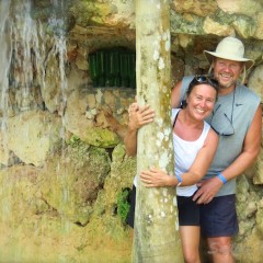
| Crew: | James D Bissell (Jim) and Elizabeth Lusby (Beth) |
| About: | Beth and Jim have spent several winters sailing southern waters on s/v Madcap. They love Halifax in the summer, but loved to spend the winters exploring warmer places - the Bahamas, Cuba, Mexico, Guatemala, Belize, Honduras. |
| Extra: | |
| Social: |
Madcap
Who: James D Bissell (Jim) and Elizabeth Lusby (Beth)
Port: Halifax, Nova Scotia

