The Sailabout of Mauliola
WWW.FASTCAT65.COM
18 October 2016 | Nuku Hiva
11 October 2016 | Fatu Hiva, Marquesas
08 October 2016 | Makemo
06 October 2016 | Tahanea
25 September 2016 | Rotoava, Fakarava
25 September 2016 | Rotoava, Fakarava
05 September 2016 | Fakarava
05 September 2016 | Fakarava
01 September 2016 | Fakarava, North Pass.
30 August 2016 | Fakarava, south pass
22 August 2016 | Tahiti
23 October 2015 | Port Denarau
05 October 2015 | Fakarava, south pass
05 October 2015 | Vurolevu Island
26 September 2015 | Matasawalevu Bay
24 September 2015 | Vunisea, Kadavu
06 September 2015 | Fulaga, Fiji
06 September 2015 | Fulaga, Fiji
06 September 2015 | Fulaga, Fiji
04 September 2015 | Susui Island
GALAPAGOS
16 August 2012
C. Farias/ Cloudy, rainy

The crossing from Cocos to Galapagos was rough. The wind blew right from the south, exactly where we were headed. And it blew much harder (up to 25kts) than forecast. We knew right away that we couldn't take the pounding. Instead of a 449 miles crossing we changed our course and we sailed 627 miles. However, we made it in much shorter time than we estimated: 79 hours. Jerry, James and Ron (our friend from California) did all the watches as Wil and I were not feeling very good. We managed to keep all our meals down and that was a good thing. We ate well thanks to the marlin we had caught (job well done by Ron) and all the food we had prepared and frozen in advance. Fresh bread was also on the menu and that was a treat. Thanks Granny for giving us your bread maker.
As we saw the latitude going down in our GPS, we also saw the thermometer going down. It was very strange to be putting layers of clothing on as we got closer and closer to the equator. And the water temperature came down below 70F. The effect of the cold Humboldt current that runs up the coast of South America is the cause of the cold water. That is why there are penguins and seals right on the equator.
The major loss just a few days out was of the radar. The power to it was cut and we had to sail without it. Another installation job not done properly by the builder. We had the data cable to the radar damaged before we reached Costa Rica. Now the power cable is out.
We were very excited and counting the hours to see land which we did about 10AM. Isla San Cristobal was our landfall and we all had a huge smile and the excitement grew higher and higher as we got closer. We crossed the equator at last. We sailed along the west side of the island which looks like the south Kona side of the Island of Hawaii. It is like a miniature view of the slopes or our magnificent Mauna Loa. At 1PM we anchored on Puerto Baquerizo Moreno where we had to go thru the check in process into Galapagos, Equador. I had arranged all in advance with an agent, Mr.Bolivar, and all went smoothly. We had to go to the immigration office for checking in and in the way Mr. Bolivar gave us a tour of the city, population 7 to 8,000 plus a huge seal population. They are everywhere and they rule. As soon as we anchored we had one already in our steps. Any boat left unprotected or unattended is taken over by them.
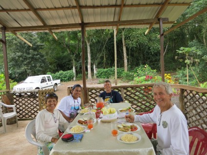
We had rain for 2 days but the temperature was perfect, around 70F. We took a land tour to see a breeding center for the giant turtles, and a lake on the top of one of the volcanos. Unfortunately the weather didn't cooperate and we missed the lake visit. However, we had a delicious meal in a small farm up in the hills. There is quite a lot of small farming in the island and all is organic. They grow papayas, big ones, oranges and tangerines, bananas, tomatoes, broccoli, very large squashes, green beans and other veggies depending on the season. The soil is very rich and the vegetation is lush.
Internet is not available on the boat and the shore connection is very slow. And with the rain it is hard to take photos. And my camera got flooded and I lost a huge amount of photos. I will do the best I can to keep the blog updated and I hope I can add some photos. Hasta luego and my Aloha to all.
Comments
| Vessel Name: | Mauliola |
| Vessel Make/Model: | Morrelli&Melvin Custom 65' Catamaran |
| Hailing Port: | Hawaii |
| Crew: | Jerry King and Conceicao Farias, owners |
| About: | Conceicao is a Brazilian, Hawaiian by heart, wahine (girl). Conceicao e uma Brasileira, Cearence, Hawaiana de coracao. Jerry is from California, an old Hobie cat sailor, the man with a vision and a mission. |
| Extra: | Our plans: to do a sailabout and come out in the other side of the seas. The South Pacific is our first stop. |
| Home Page: | Https://www.fastcat65.com |

Who: Jerry King and Conceicao Farias, owners
Port: Hawaii


