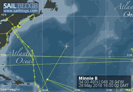
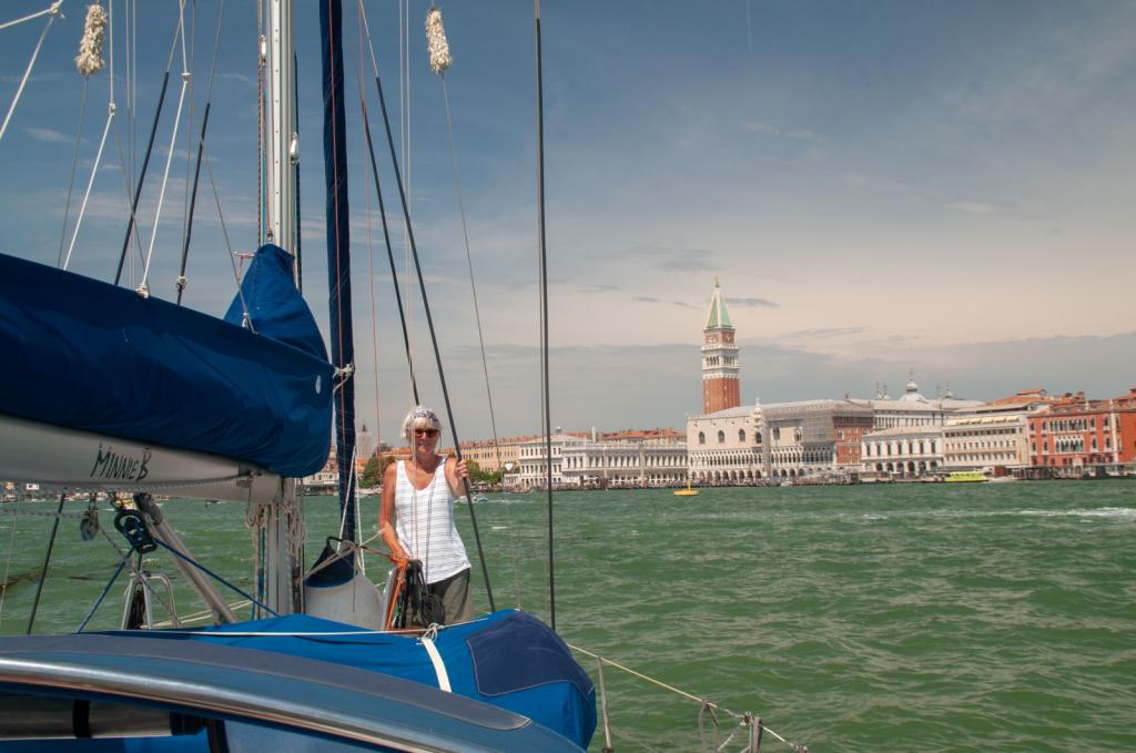
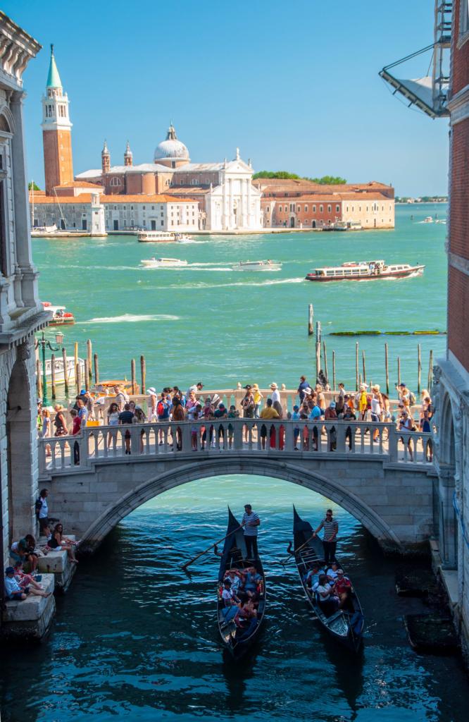
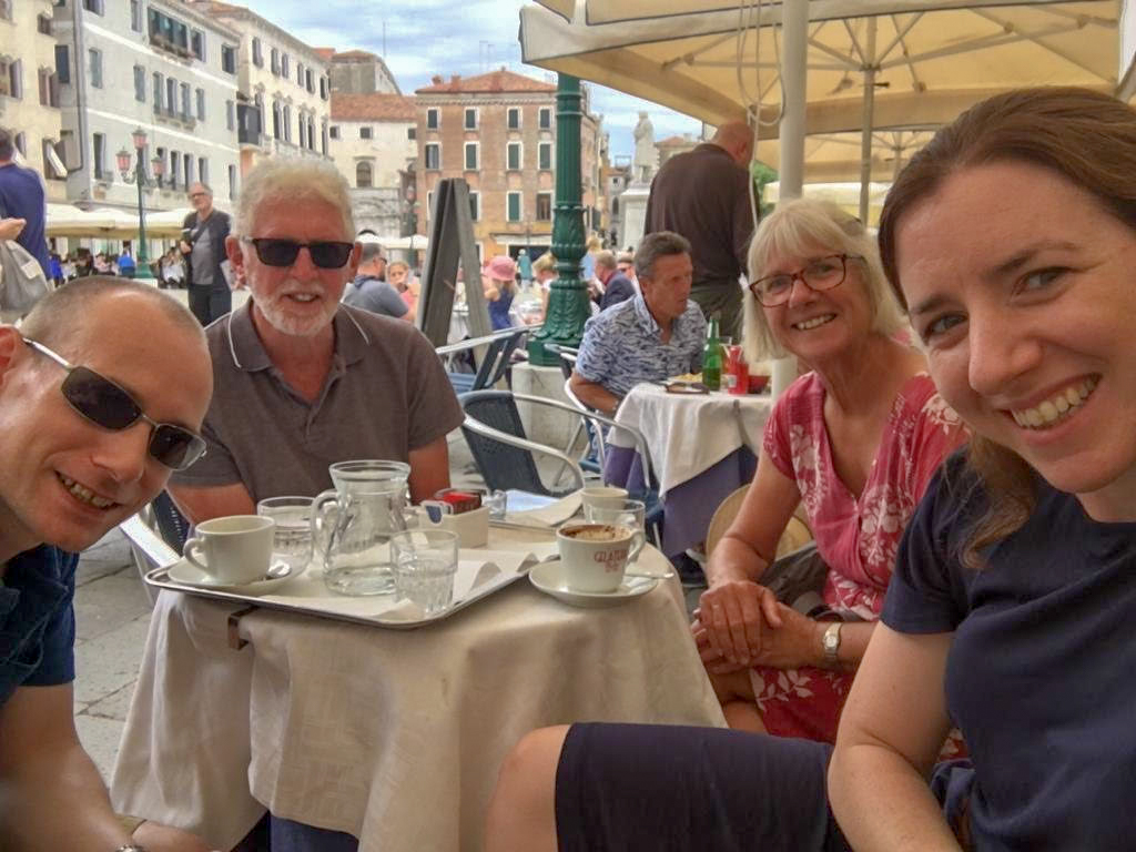
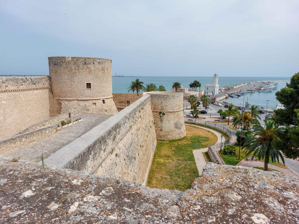
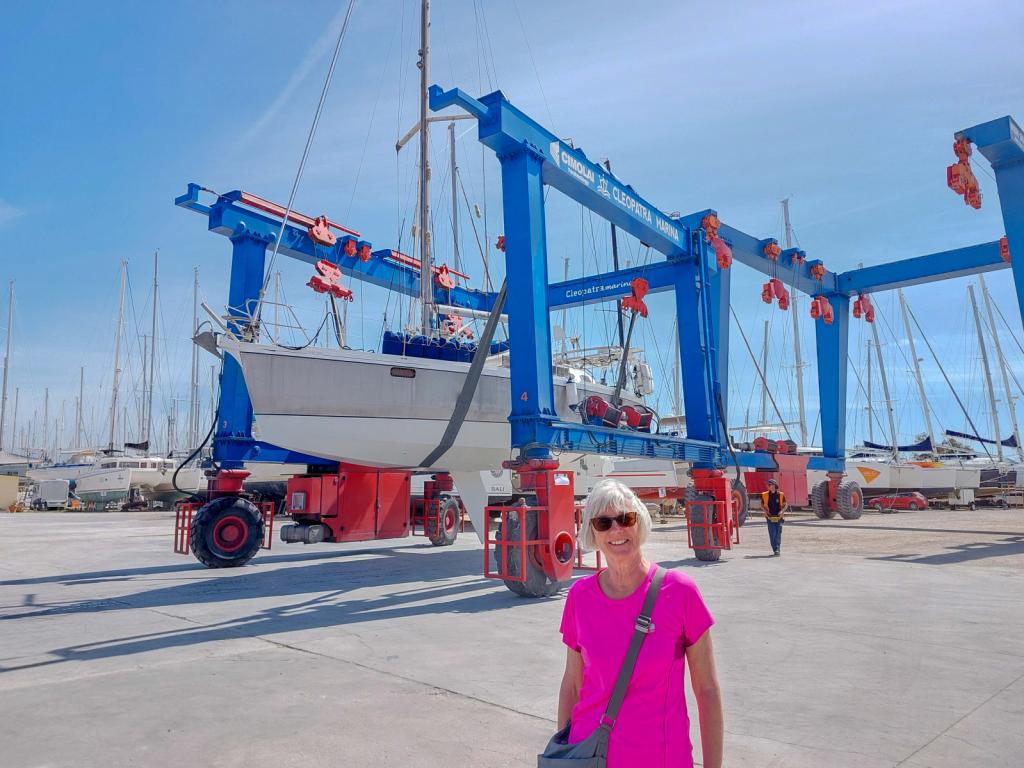
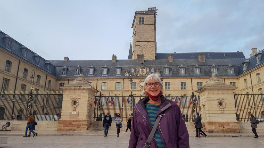
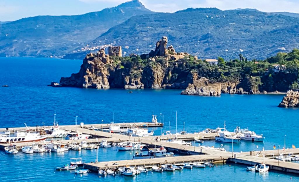
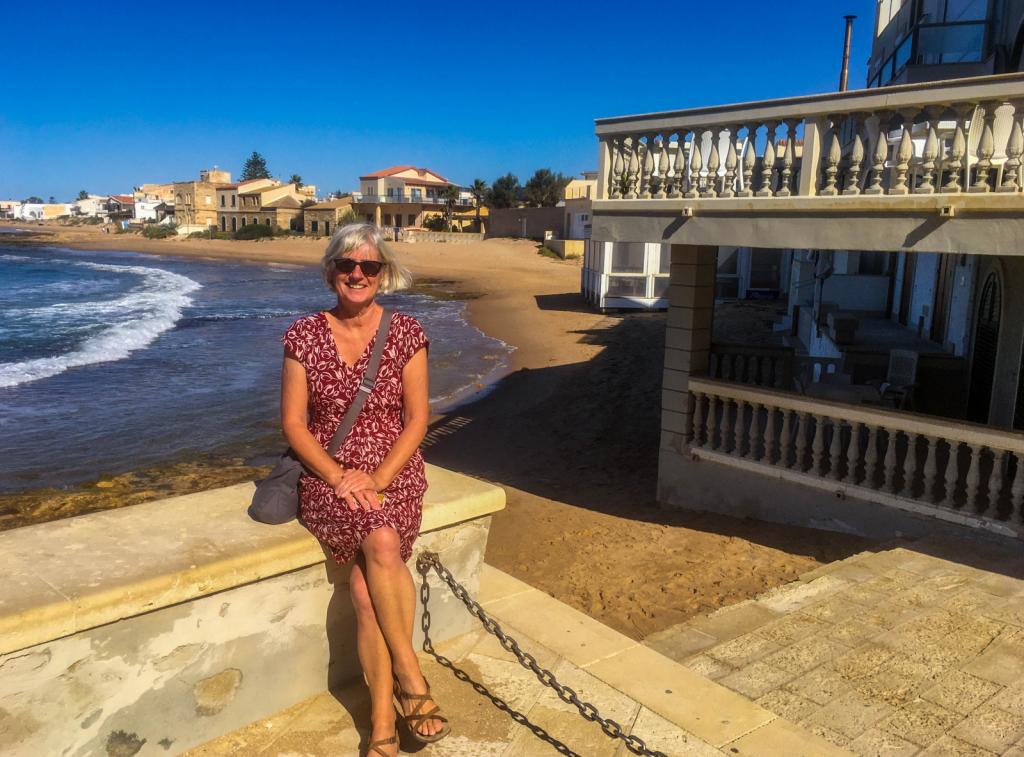
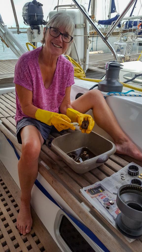
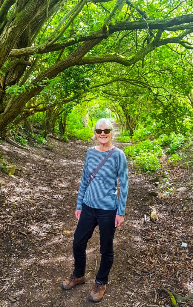
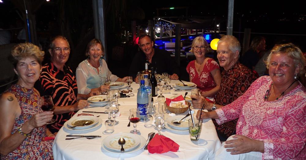
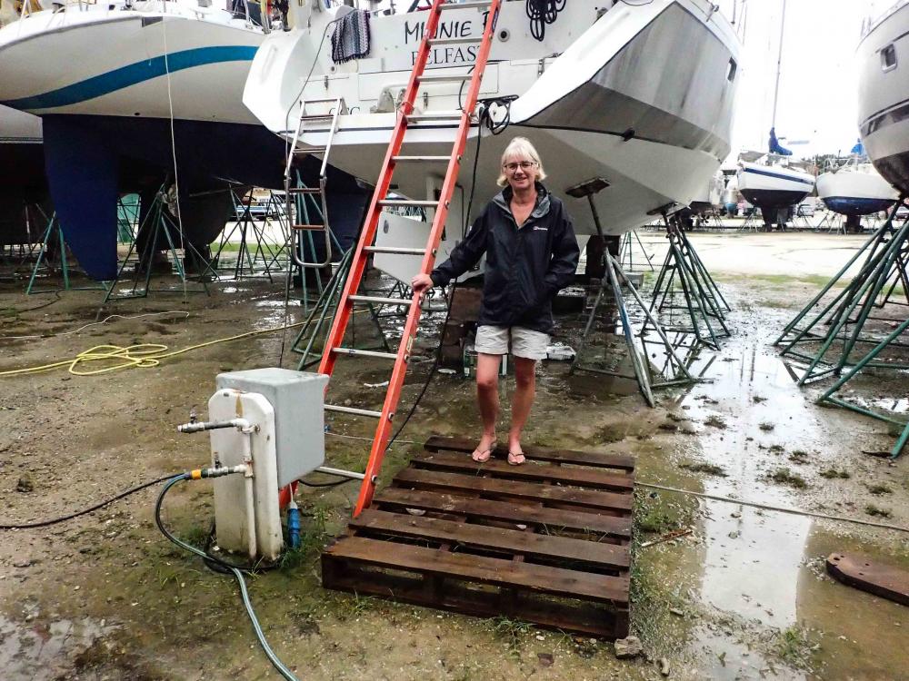
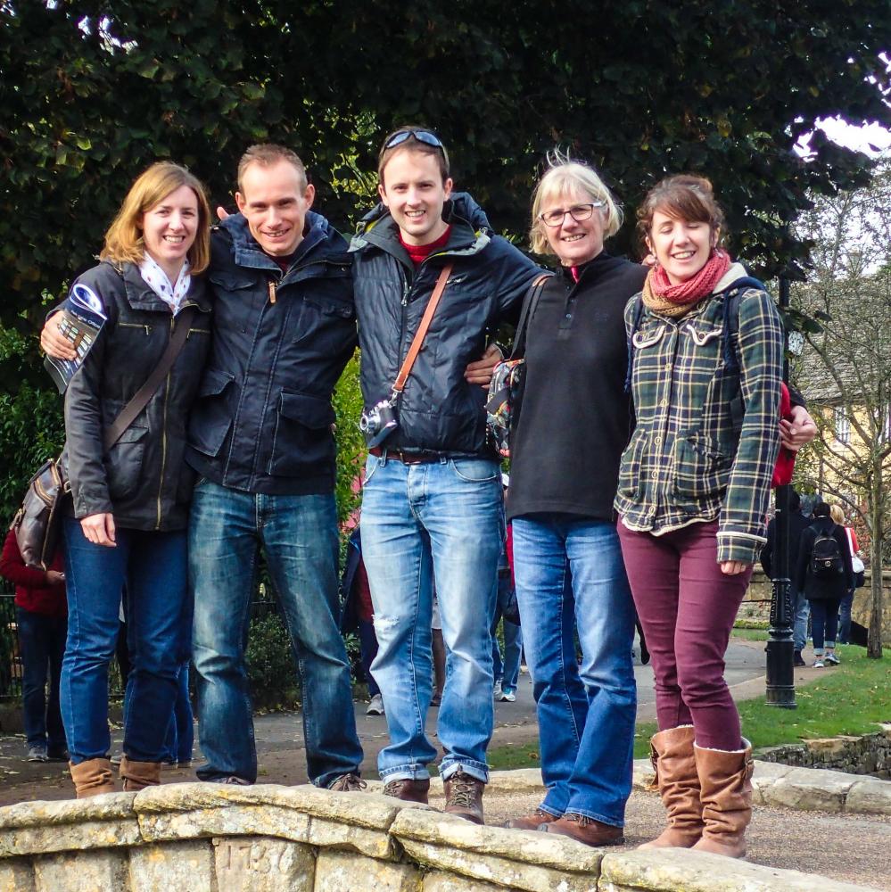
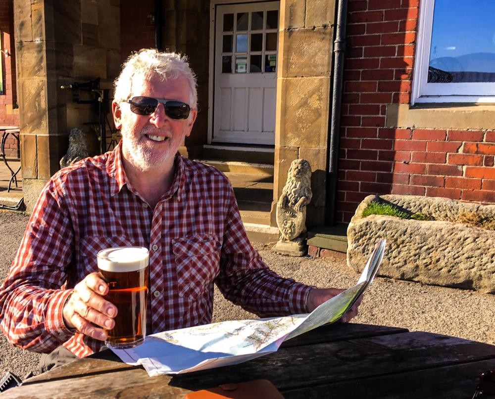
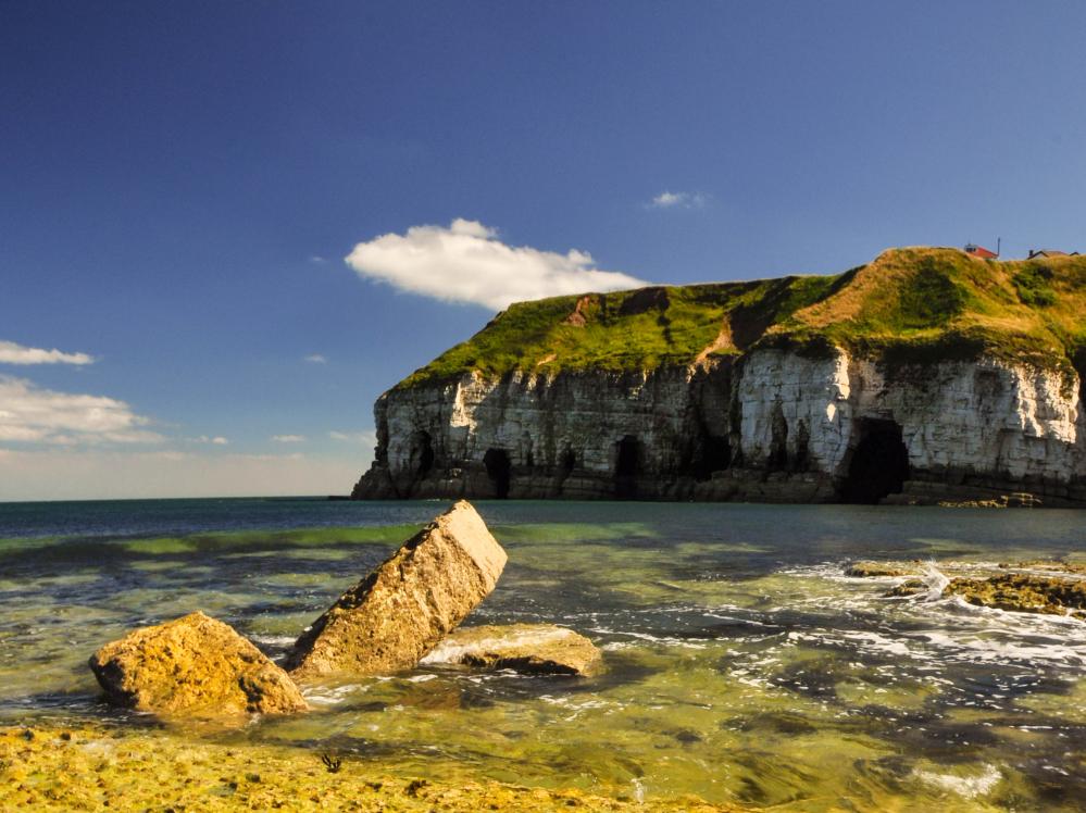
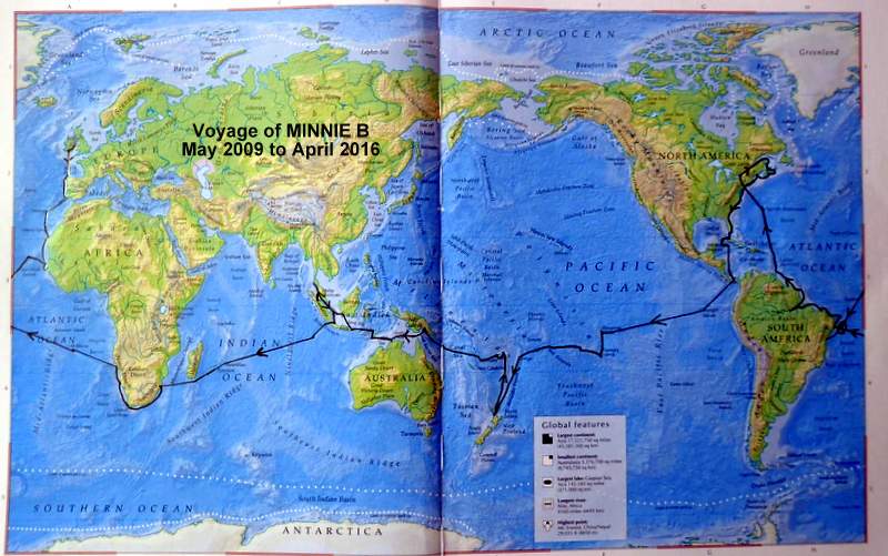
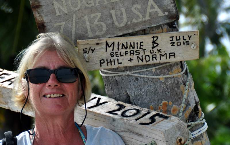
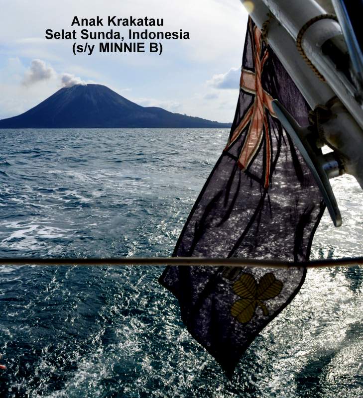
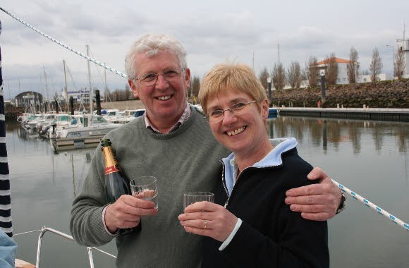
Minnie B
Making it up as we go along

20 November 2023
06 September 2023
22 August 2023
16 August 2023
10 August 2023
12 July 2023
04 July 2023
29 June 2023
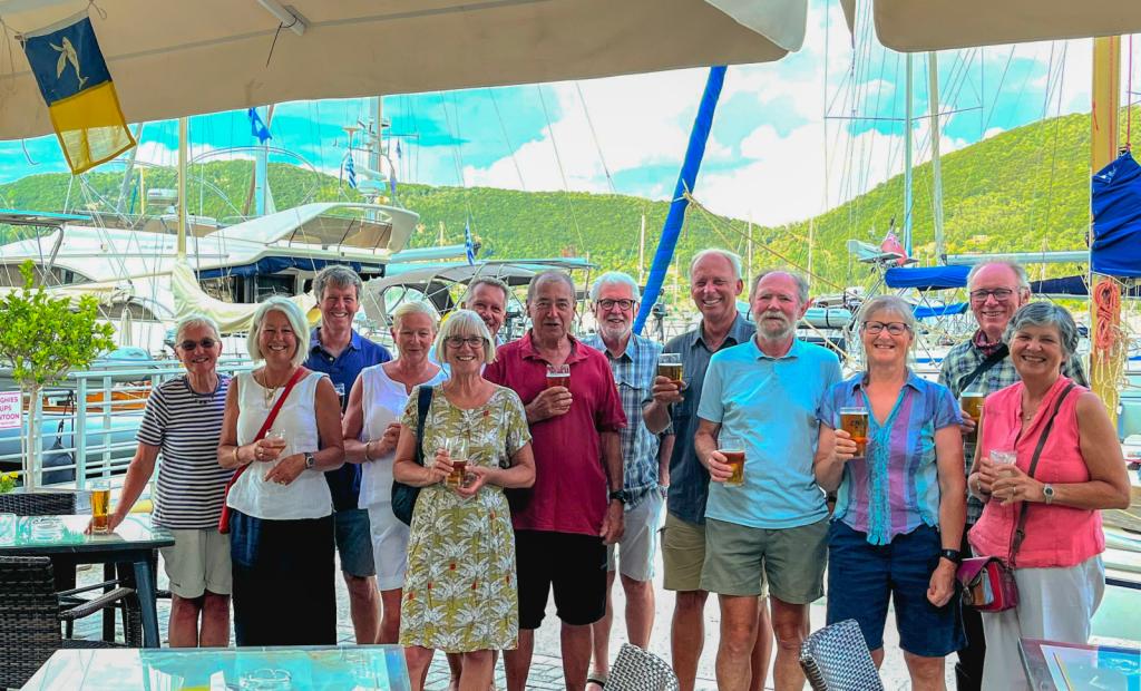
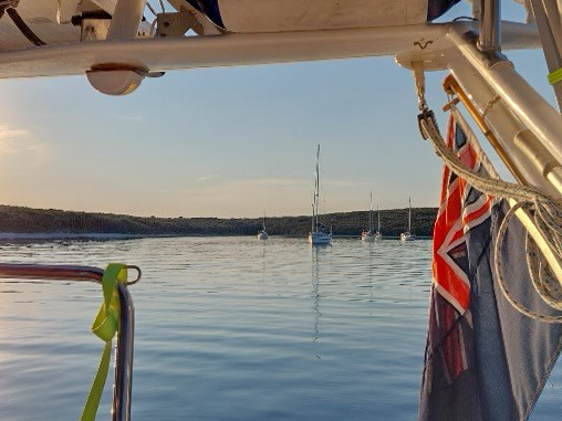
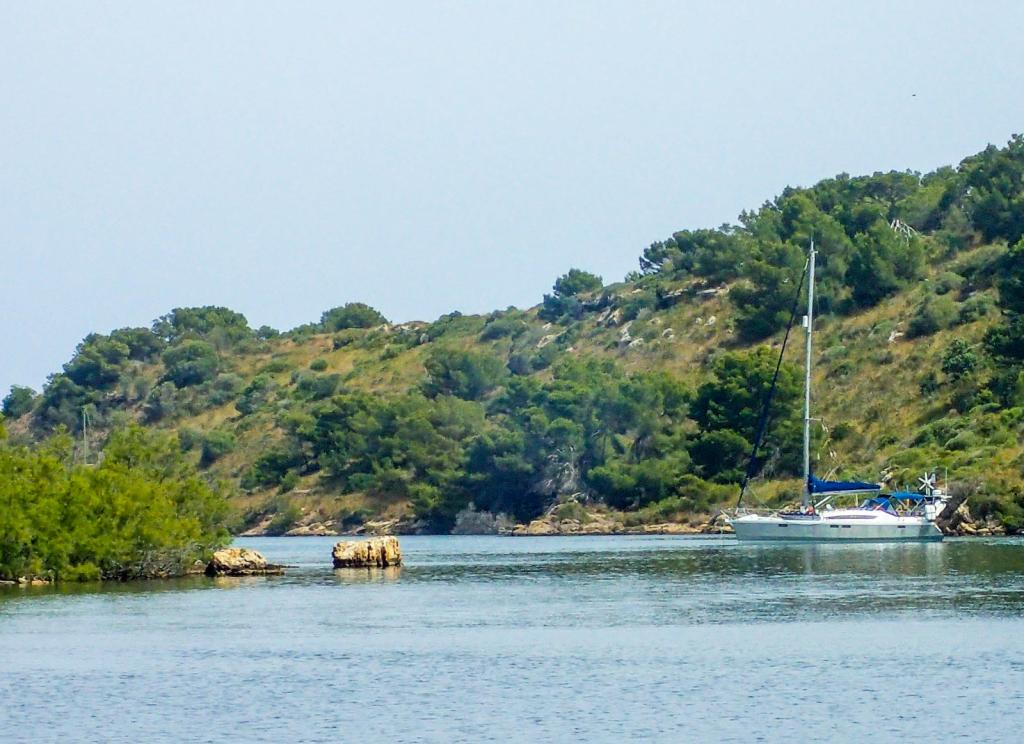
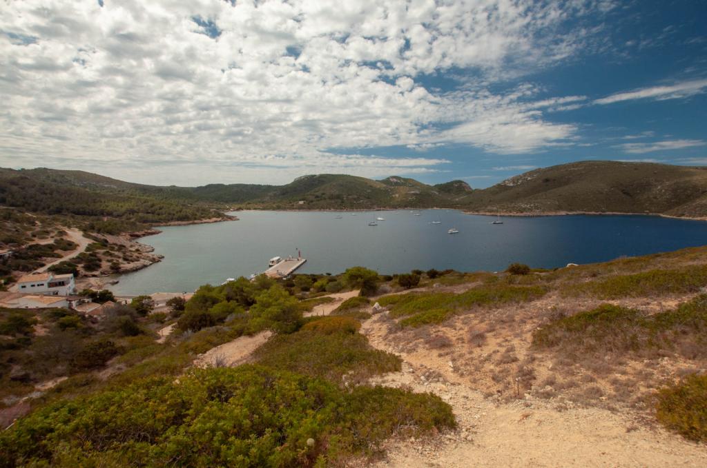
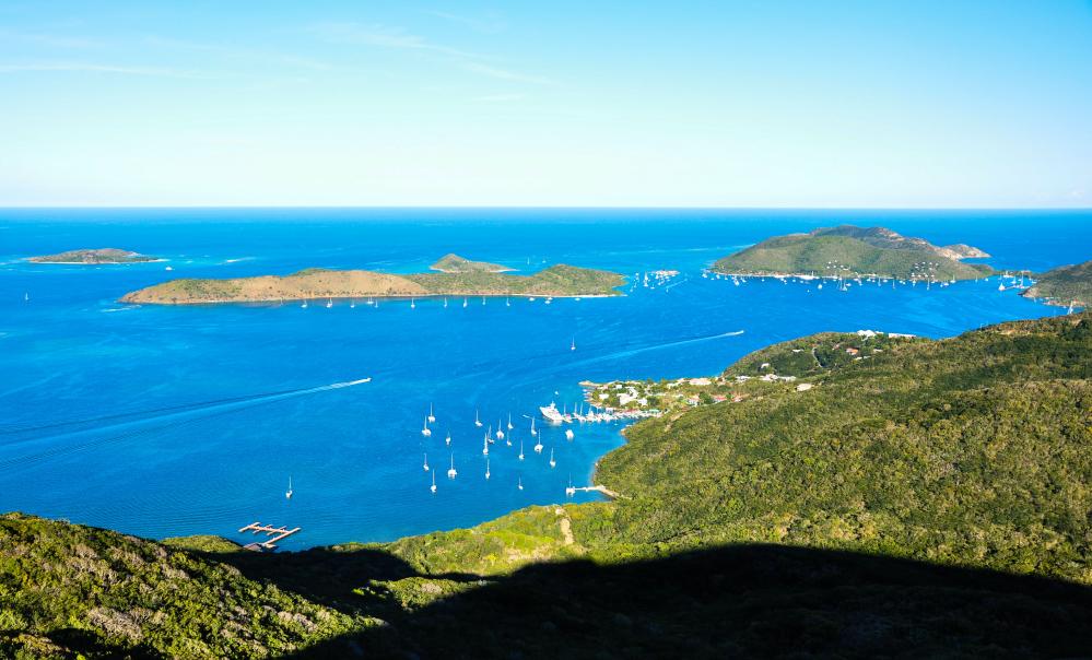
06 June 2023 | Vliho Bay
04 December 2022
18 September 2022
18 September 2022 | Cavtat
16 September 2022
09 September 2022
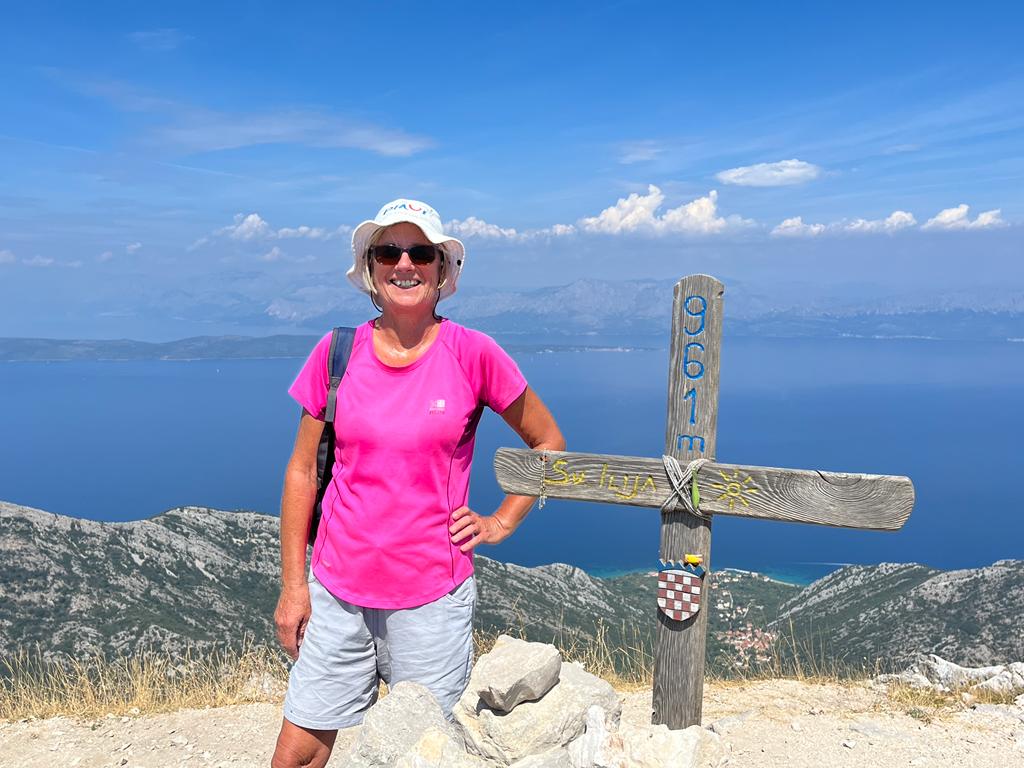
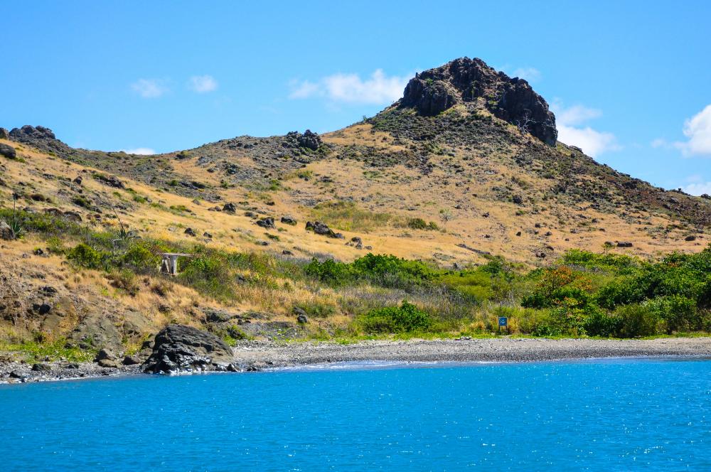
04 September 2022 | Mt Ilias
04 September 2022
04 September 2022
04 September 2022
11 August 2022
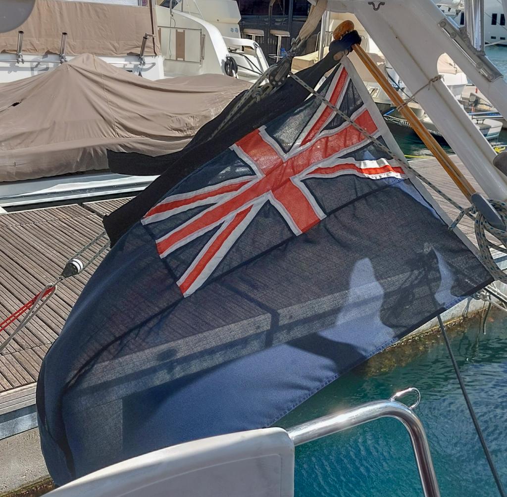
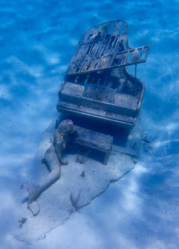
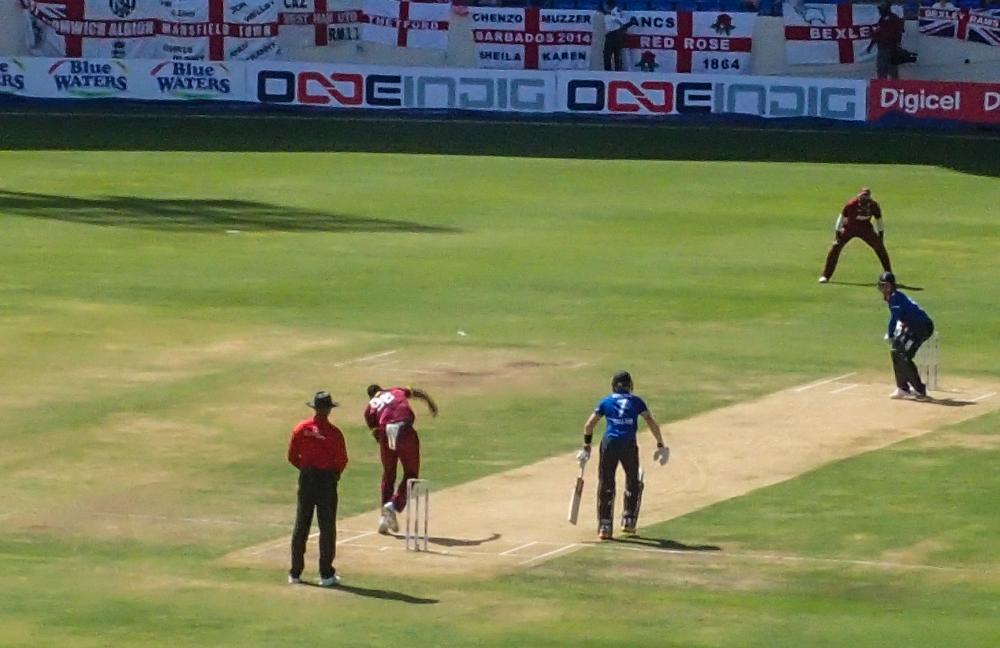
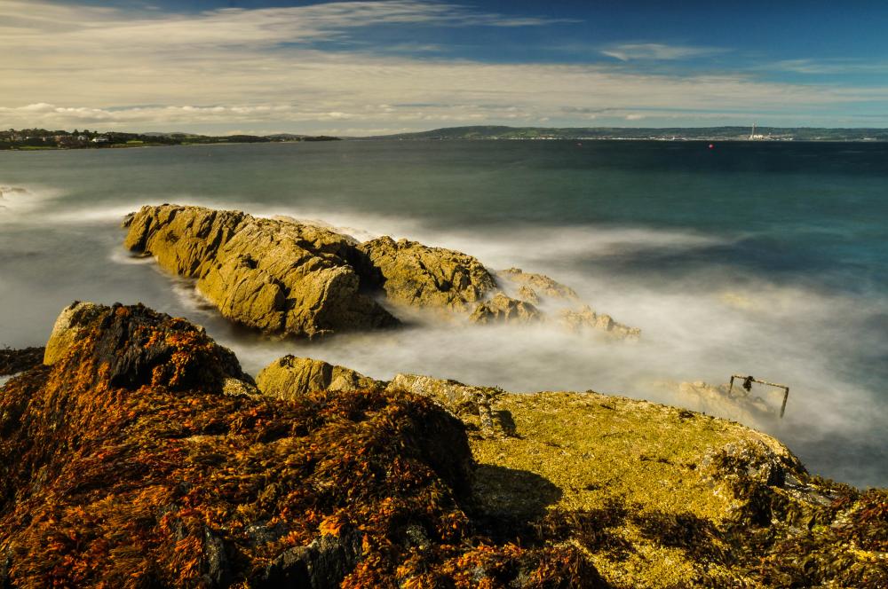
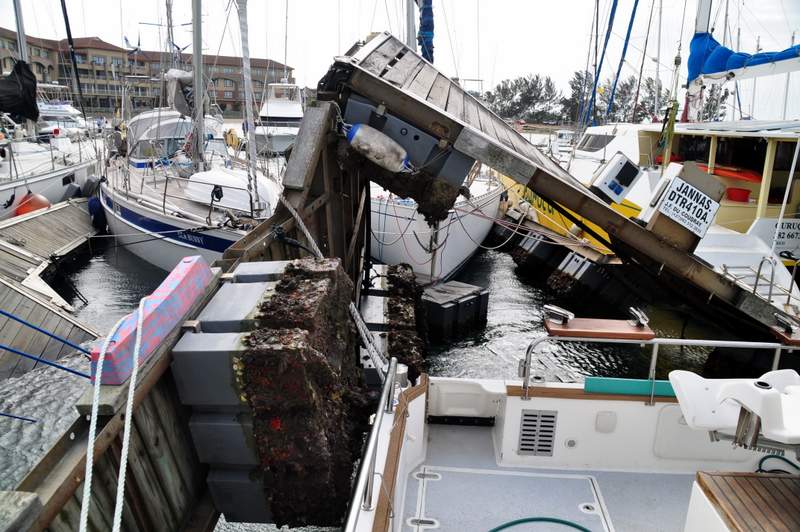
Shelter island - Magenta Line
28 March 2018

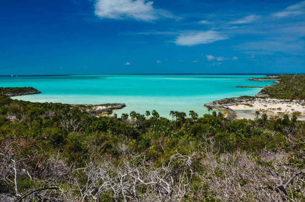
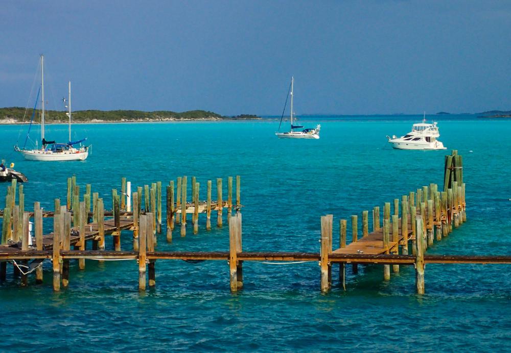
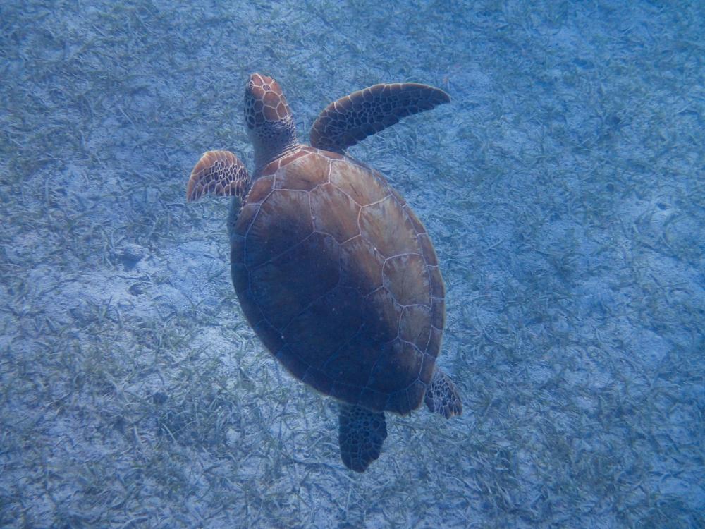
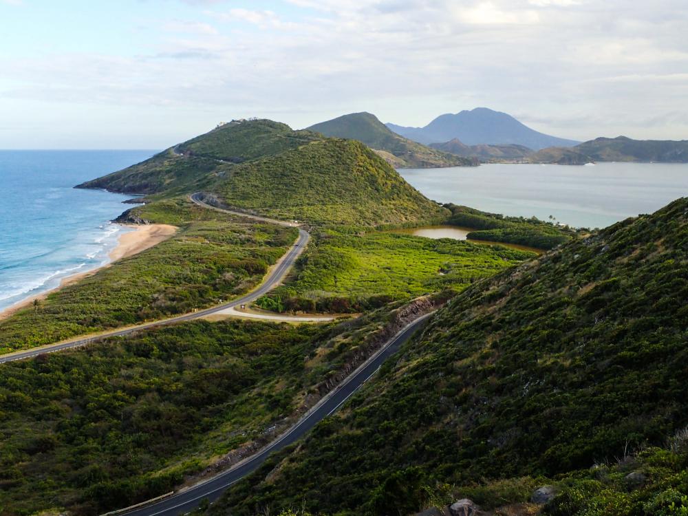
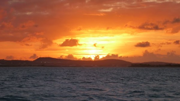
The forecast was for a front to go through on Tuesday 27th with 20-25kts easterly wind, so we returned to the west coast of Long Island.
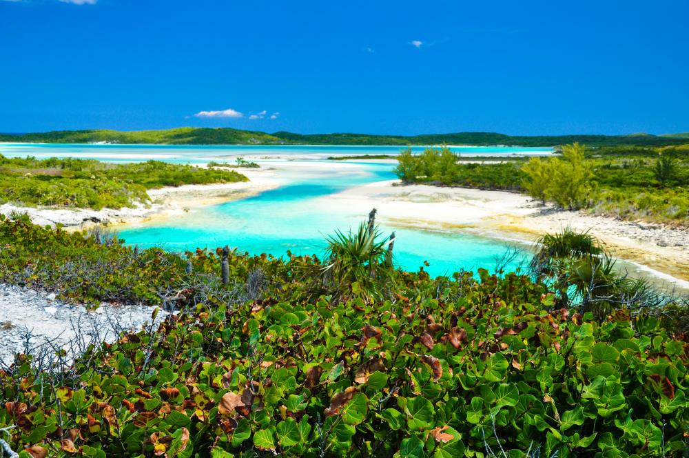
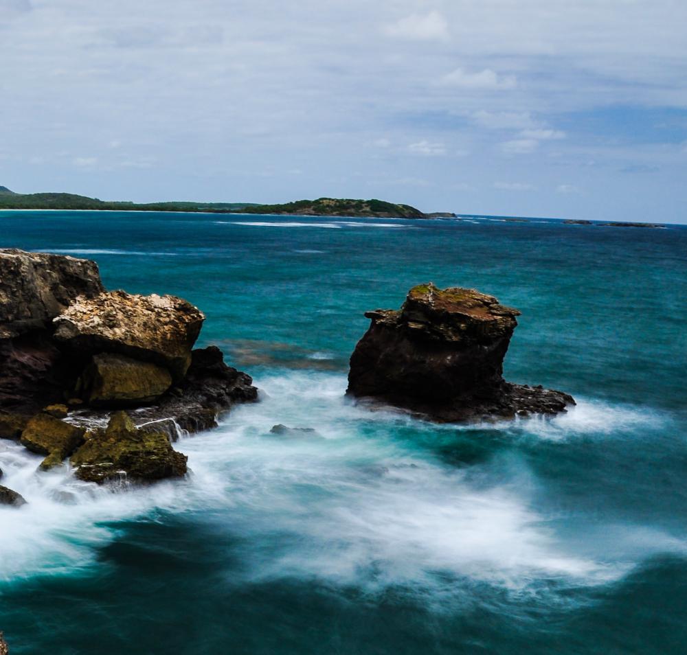
Thompson Bay is a favourite among cruisers and sure enough there were about 15 boats here and more came in after us. For over 20nm the passage south along the west coast of the island is in water 2-4 metres deep. We were motoring along around Low Water and the tidal range is about 0.9 metre.
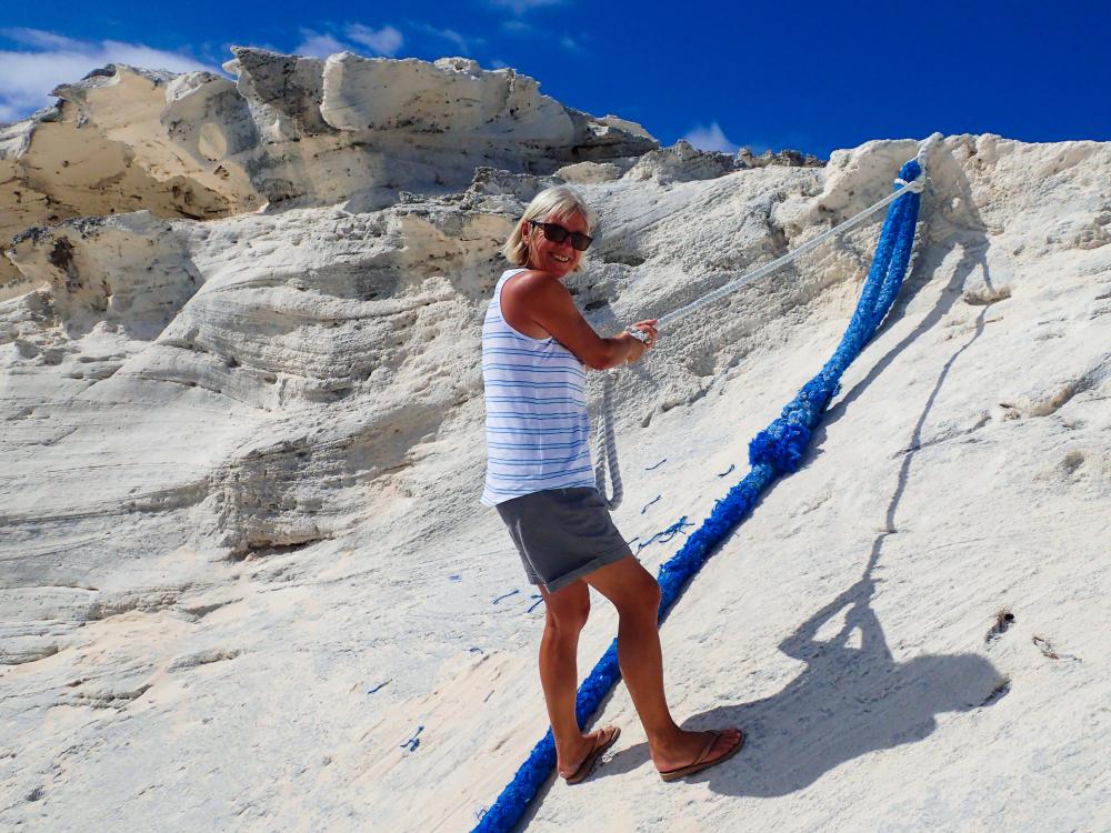
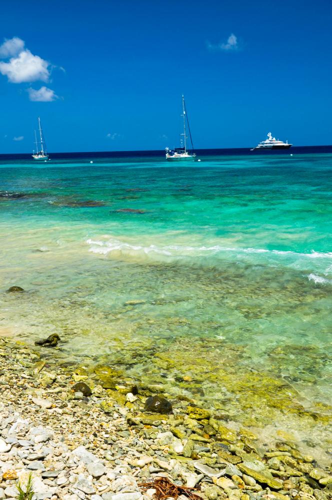
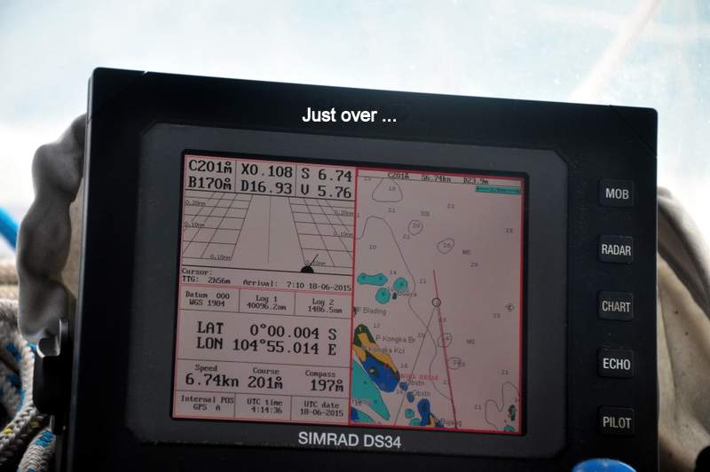
Magenta Line then. Over the years, by and large we have made a close examination of the charts and plotted our own courses, but the electronic charts have very helpful “Control Points” and Magenta Lines that show routes through shallows. It is fairly straightforward just to follow the Magenta Line and change course at the Control Points, keeping very tight control on XTE … until the Magenta Line takes you through a collection of rocks that could rip out the bottom of your boat. So they are a good navigation AID but you have to jink about to avoid some of the rocks and coral heads, so a good lookout at all times and recognising the difference between cloud-created shadow and rocks is helpful.
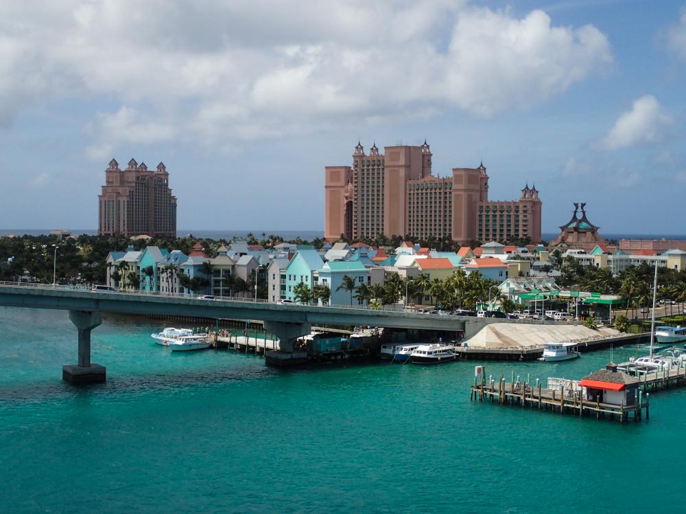
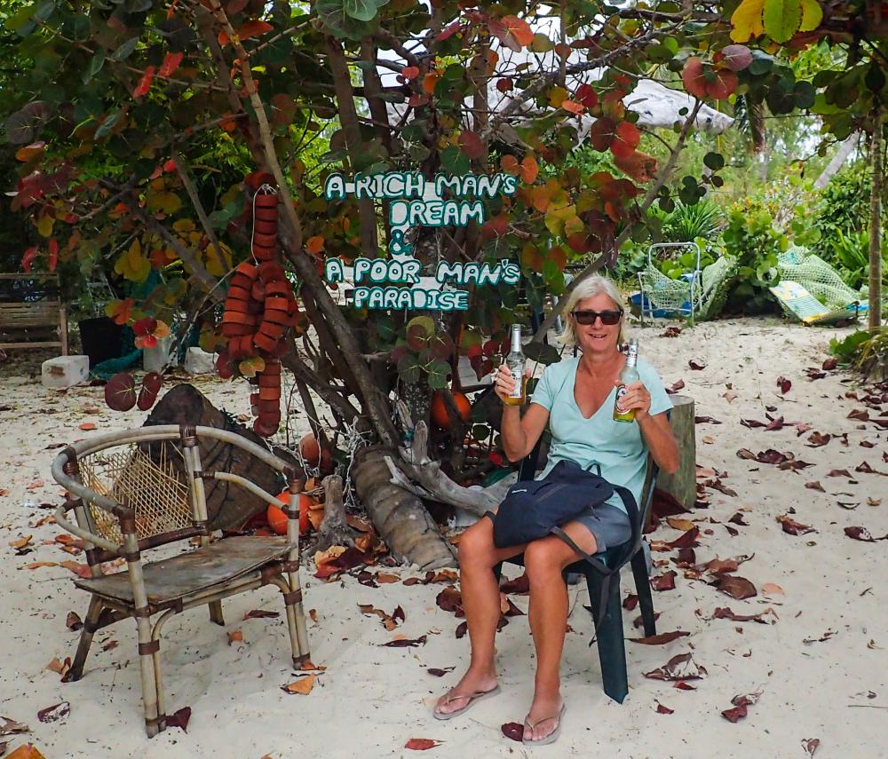
Anyway we arrived safely and were immediately invited to join the Cruisers’ Monday gathering ashore where we met some very nice people and experienced Bahamas cruisers.
The wind did its stuff but we are expecting it to ease and then we will head for the great metropolis of Georgetown in the Exumas.
Thompson Bay is a favourite among cruisers and sure enough there were about 15 boats here and more came in after us. For over 20nm the passage south along the west coast of the island is in water 2-4 metres deep. We were motoring along around Low Water and the tidal range is about 0.9 metre.
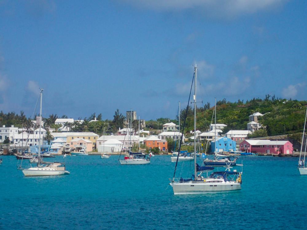
Magenta Line then. Over the years, by and large we have made a close examination of the charts and plotted our own courses, but the electronic charts have very helpful “Control Points” and Magenta Lines that show routes through shallows. It is fairly straightforward just to follow the Magenta Line and change course at the Control Points, keeping very tight control on XTE … until the Magenta Line takes you through a collection of rocks that could rip out the bottom of your boat. So they are a good navigation AID but you have to jink about to avoid some of the rocks and coral heads, so a good lookout at all times and recognising the difference between cloud-created shadow and rocks is helpful.
Anyway we arrived safely and were immediately invited to join the Cruisers’ Monday gathering ashore where we met some very nice people and experienced Bahamas cruisers.
The wind did its stuff but we are expecting it to ease and then we will head for the great metropolis of Georgetown in the Exumas.
Comments
| Vessel Name: | Minnie B |
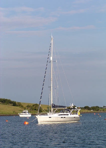
| Vessel Make/Model: | OVNI 395 |
| Hailing Port: | Belfast, Northern Ireland |
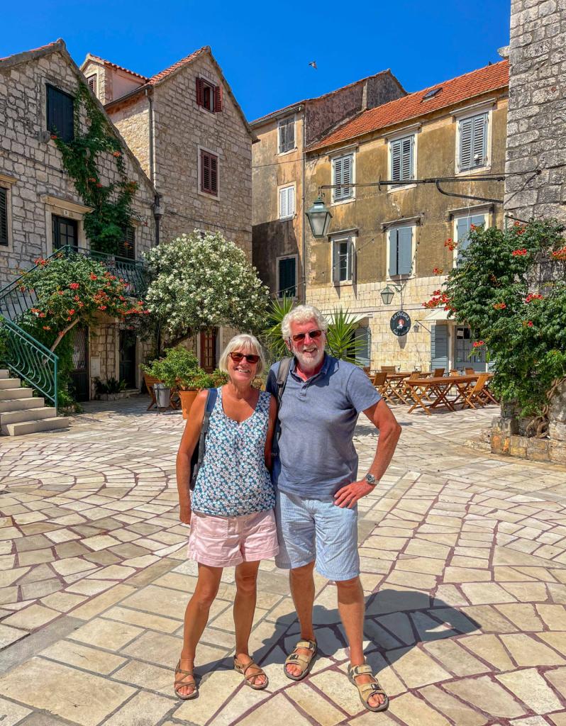
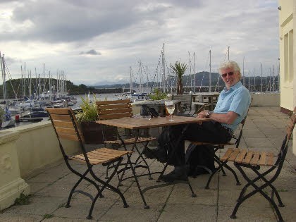
| Crew: | Phil and Norma |
| Social: |
|
Minnie B's Photos - Main
 |
 |
 |
 |
 |
11 Photos
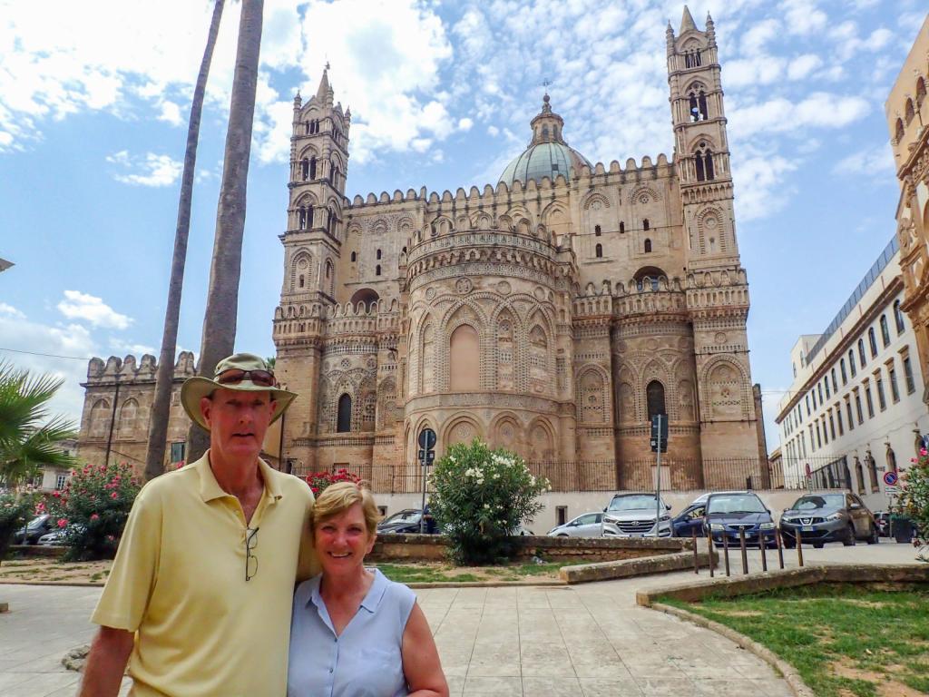
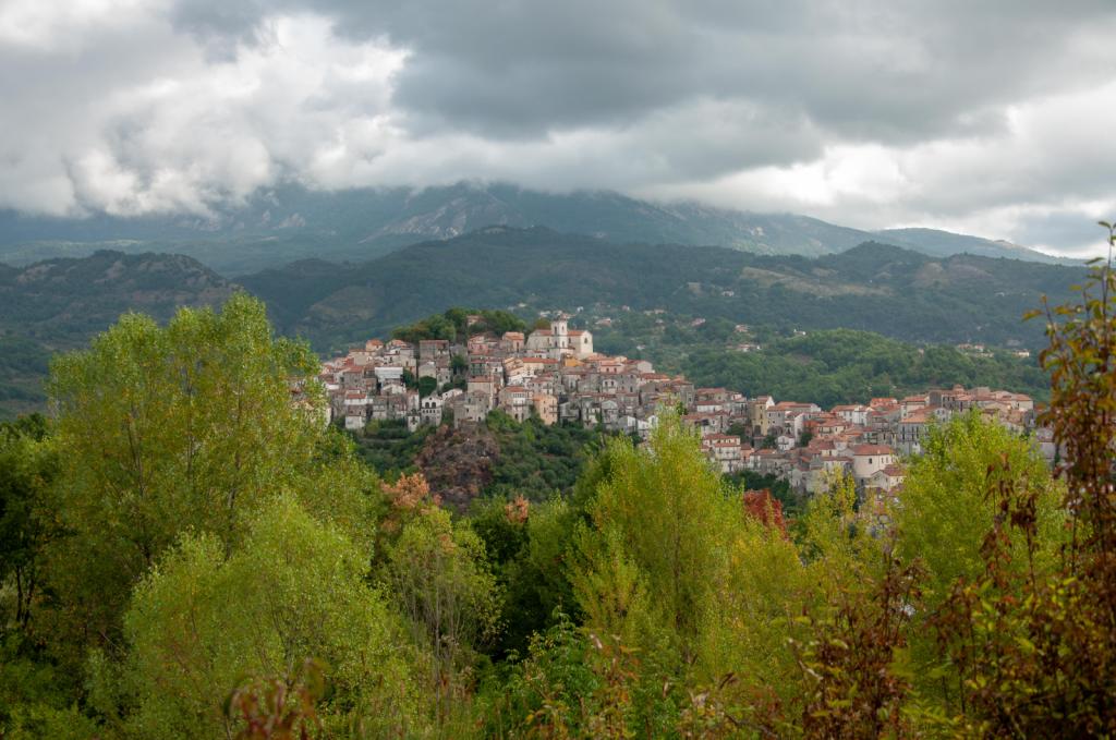
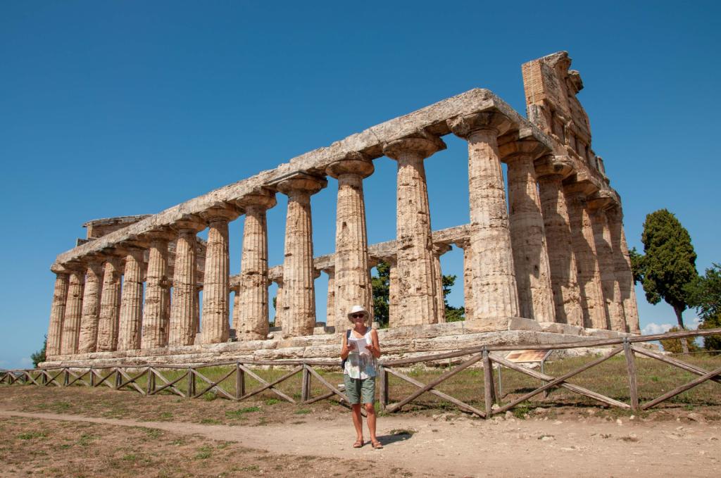
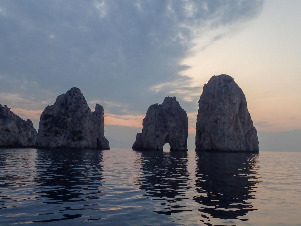
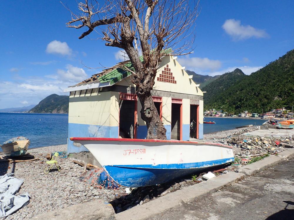
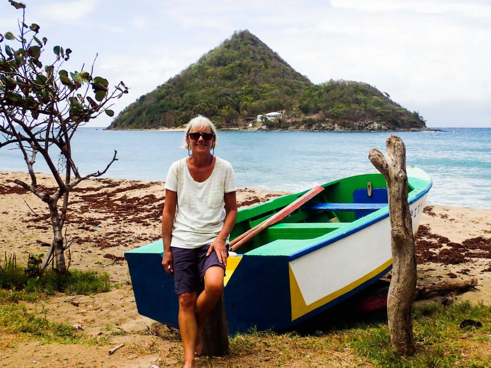
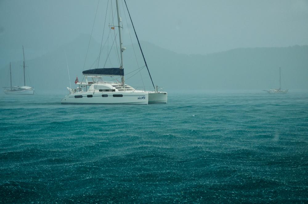
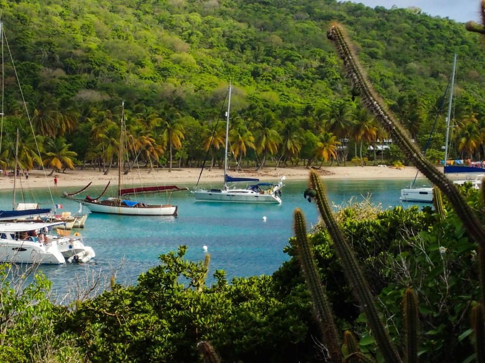
Created 22 August 2023
|
 |
 |
 |
 |
 |
 |
 |
 |
 |
 |
 |
 |
 |
 |
 |
 |
 |
 |
.JPG) |
 |
 |
 |
 |
 |
 |
 |
 |
 |
.jpg) |
 |
 |
 |
 |
 |
 |
 |
 |
 |
 |
 |
 |
 |
 |
 |
 |
 |
 |
 |
 |
 |
 |
 |
 |
 |
 |
 |
 |
 |
 |
 |
 |
 |
 |
 |
 |
 |
 |
 |
 |
 |
 |
 |
 |
 |
 |
 |
 |
 |
 |
 |
 |
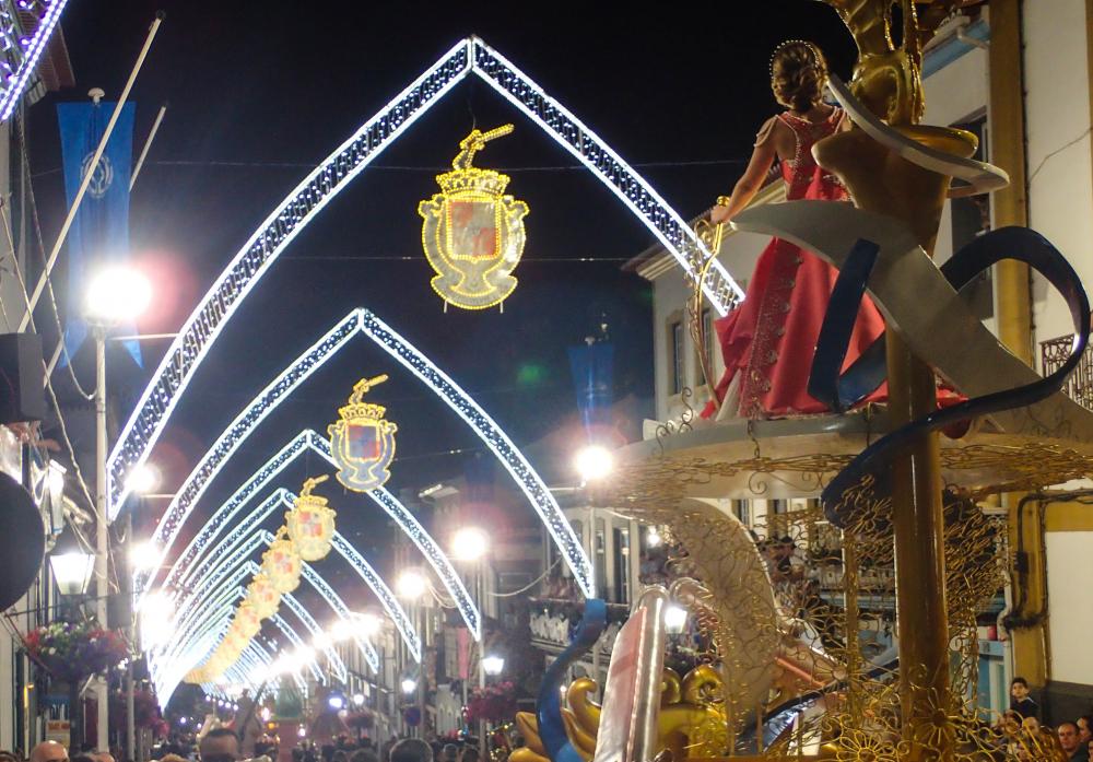 |
Sao Joaoninas festival, Angra do Heroismo
23 Photos
Created 4 July 2018
|
 |
 |
 |
 |
 |
 |
 |
 |
 |
 |
 |
 |
 |
 |
 |
 |
 |
 |
 |
 |
 |
 |
 |
 |
 |
 |
 |
 |
 |
 |
 |
 |
 |
 |
 |
 |
 |
 |
 |
and Marie Galante and Les Saintes and Pigeon
32 Photos
Created 31 March 2017
|
 |
 |
 |
 |
 |
 |
with the Flyin' Lows and Binkertoos
16 Photos
Created 11 February 2017
|
 |
 |
Francis Bay, Waterlemon Bay and Coral Harbour walk
30 Photos
Created 11 February 2017
|
 |
 |
 |
 |
 |
Ste Anne, Trois Ilets, La Pagerie, Anse d Arlet, Le Rocher du Diamant, Sacre Coeur du Balata, Le Jardin du Balata and around
23 Photos
Created 13 January 2017
|
 |
Christmas Eve with SAS3, Pipistrelle and GOSI; Boxing Day walk
5 Photos
Created 13 January 2017
|
 |
 |
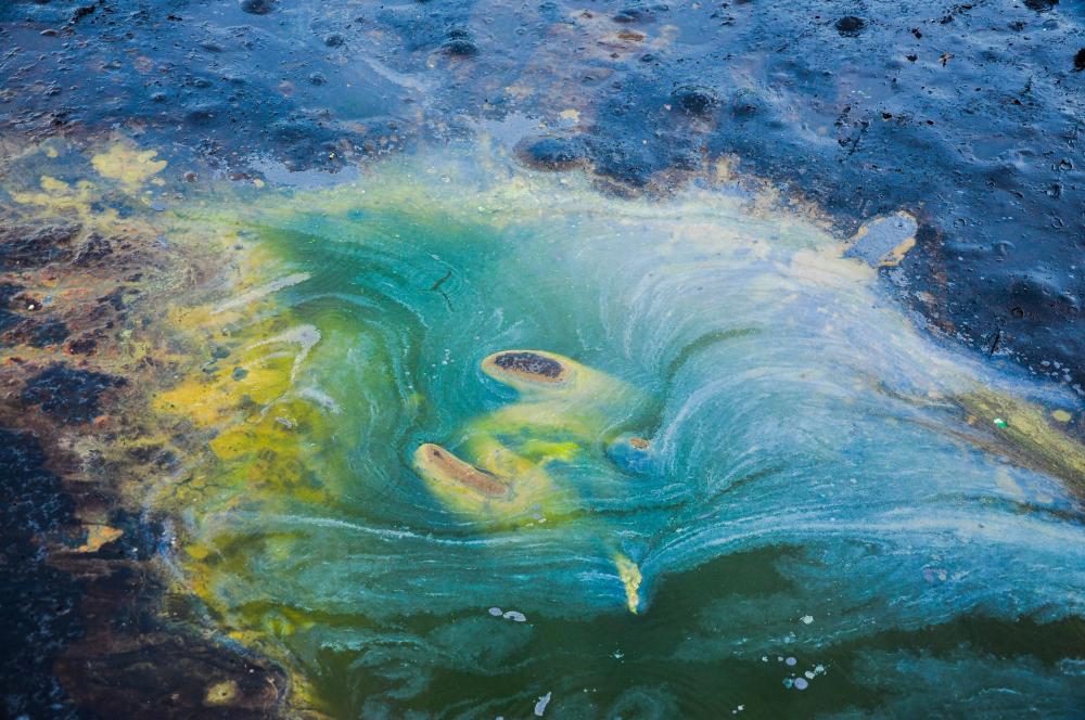 |
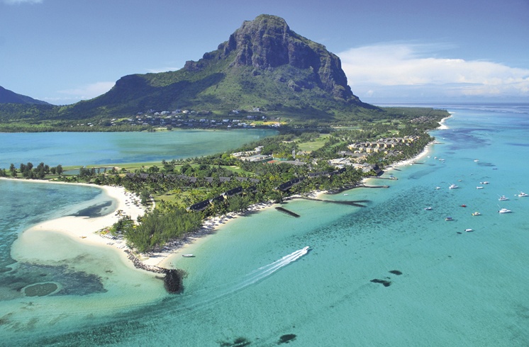
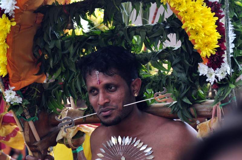
La Brea Pitch Lake and Waterloo Hindu Temple in the Sea
13 Photos
Created 6 December 2016
|
 |
 |
 |
 |
 |
NI with Norma's mum, sister and brother; Dublin and the Guinness Storehouse; Photo practice: Strangford Lough, Belfast Lough and Mournes
8 Photos
Created 9 October 2016
|
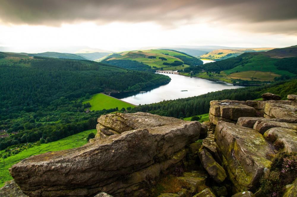 |
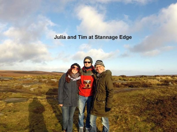
Wyning Brook and Bamford Edge
7 Photos
Created 8 October 2016
|
 |
 |
 |
 |
 |
 |
 |
 |
 |
 |
 |
 |
 |
 |
 |
 |
 |
 |
with Richard & Susan (Sea Bunny) and Mike & Nicki (Zen Again)
35 Photos
Created 1 January 2016
|
 |
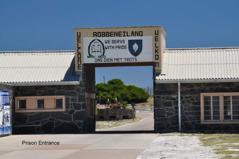
Cape Point, Cape of Good Hope, Table Mountain, Kirstenbosch Gardens and MINNIE B in Christmas dress
18 Photos
Created 1 January 2016
|
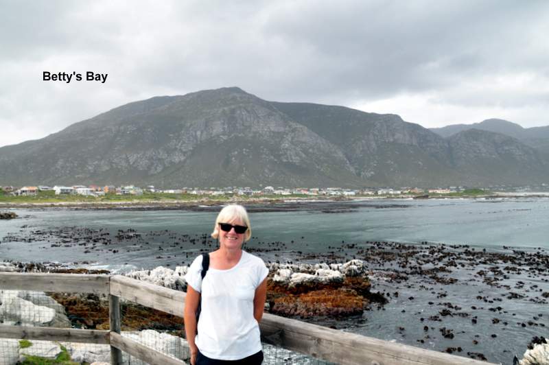 |
Fernkloof, Harold Porter, Stony Point and coast
21 Photos
Created 1 January 2016
|
 |
 |
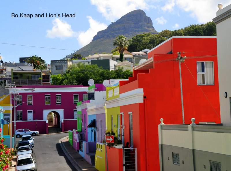 |
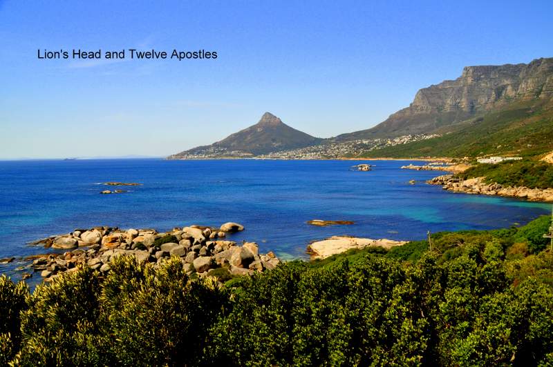
The V&A, penguins at Boulders and the Bo Kaap
20 Photos
Created 31 December 2015
|
 |
 |
 |
 |
 |
 |
 |
 |
 |
 |
 |
 |
 |
 |
 |
.JPG) |
 |
 |
 |
 |
 |
 |
 |
 |
 |
 |
 |
 |
 |
 |
 |
 |
 |
 |
 |
 |
 |
 |
 |
 |
 |
 |
 |
 |
 |
 |
 |
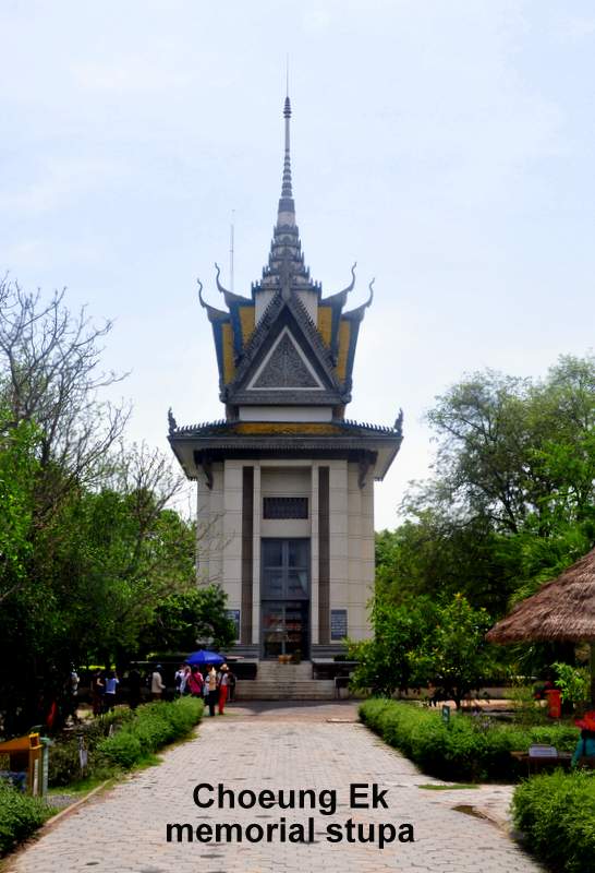
Beng Mealea and around Siem Reap
49 Photos
Created 27 April 2015
|
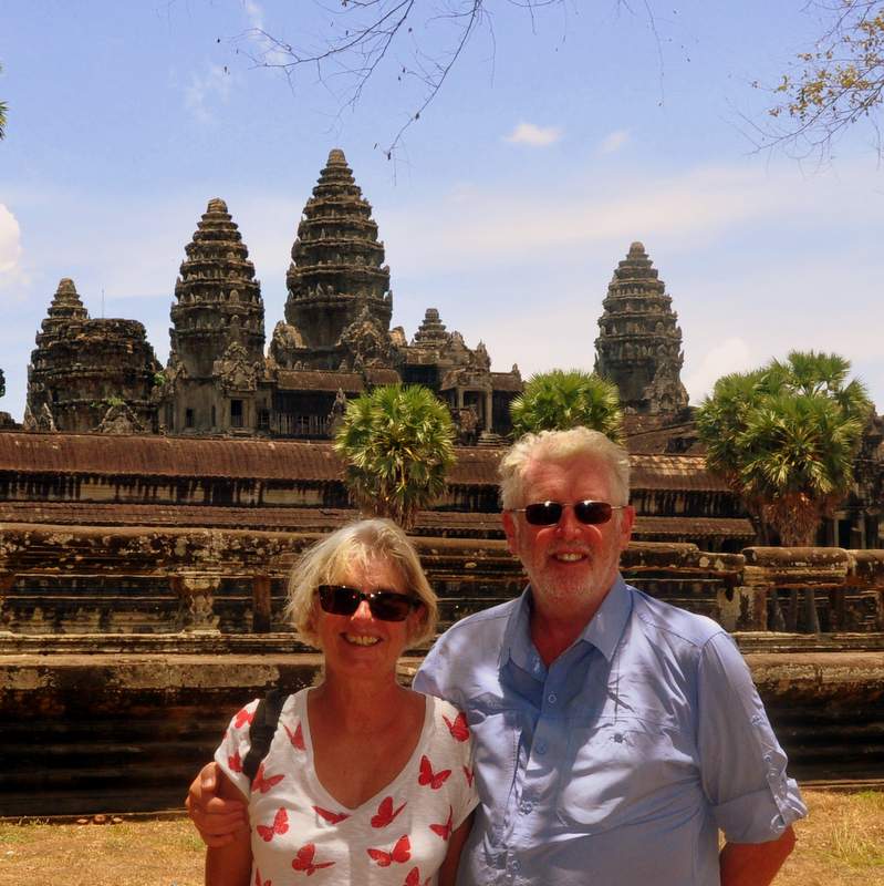 |
Angkor Thom: Bayon, Baphuon; Ta Prohm; Angkor Wat
43 Photos
Created 24 April 2015
|
 |
 |
"Languid and lovely" - to be sure
56 Photos
Created 20 April 2015
|
 |
 |
 |
 |
 |
 |
 |
 |
 |
 |
|
 |
 |
 |
 |
 |
Boats and pits and beaches and folks
18 Photos
Created 15 October 2014
|
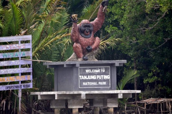 |
Orang-utans, Proboscis monkeys and other assorted apes and fauna
81 Photos
Created 9 October 2014
|
 |
 |
 |
 |
 |
 |
 |
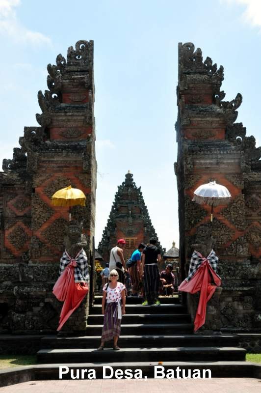 |
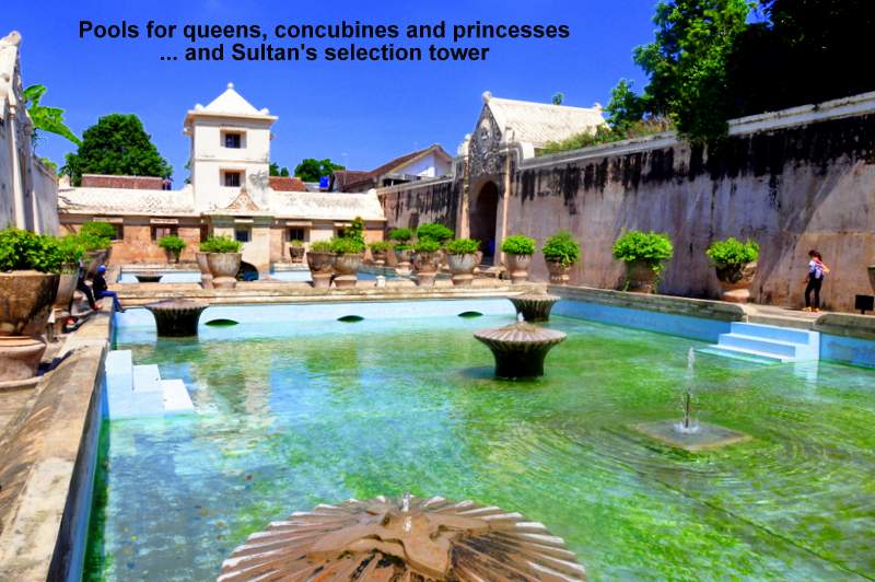
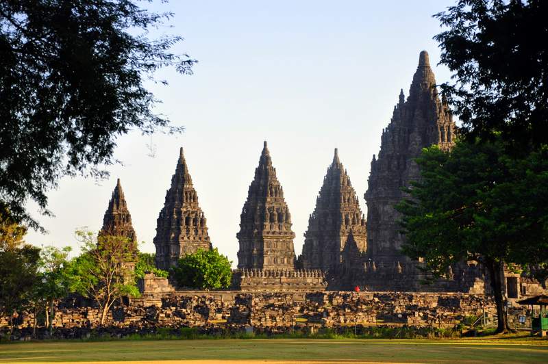
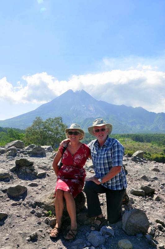
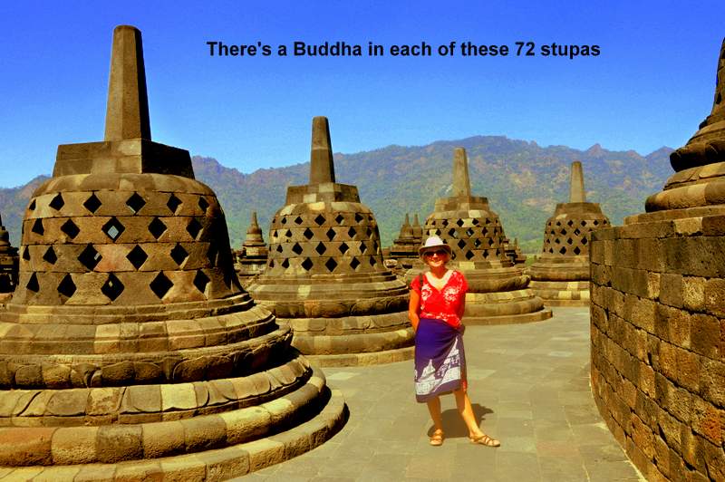
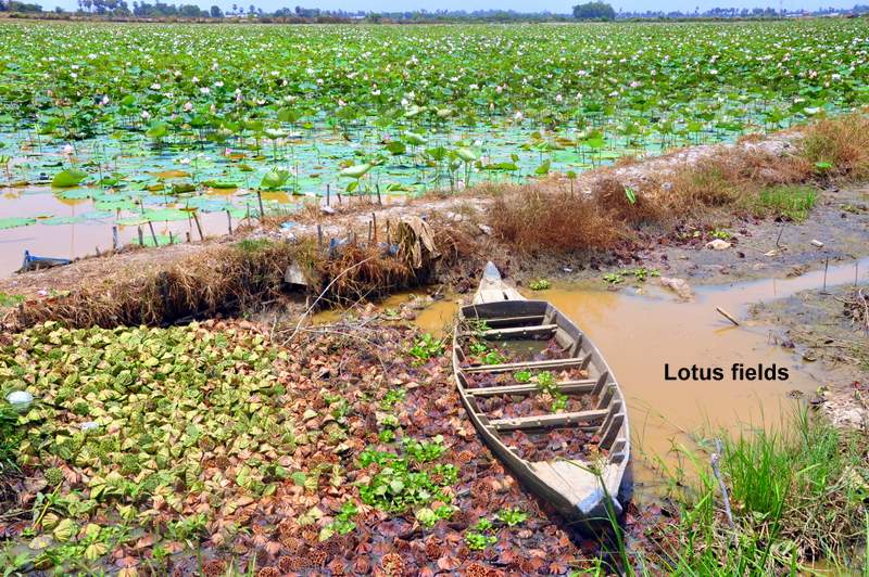
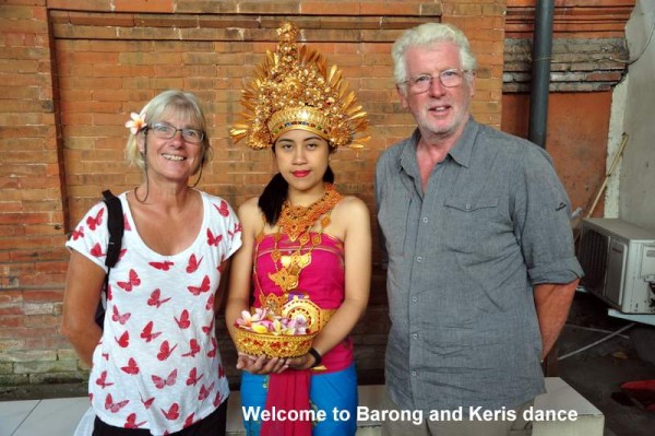
Temples, volcanoes, rice fields, coffee and monkeys
39 Photos
Created 6 September 2014
|
 |
 |
 |
 |
 |
 |
 |
 |
 |
 |
 |
 |
 |
 |
 |
 |
 |
 |
 |
 |
 |
 |
 |
 |
 |
 |
 |
 |
 |
 |
 |
 |
 |
 |
 |
 |
 |
 |
 |
 |
 |
 |
 |
 |
 |
 |
 |
 |
 |
 |
 |
 |
 |
 |
 |
 |
 |
 |
 |
 |
 |
 |
 |
 |
 |
 |
 |
 |
 |
 |
 |
 |
 |
 |
 |
 |
 |
 |
 |
 |
 |
 |
 |
 |
 |
 |
 |
 |
 |
 |
 |
 |
 |
 |
 |
 |
 |
 |
 |
 |
 |
 |
 |
 |
 |
 |
 |
 |
 |
 |
 |
 |
 |
 |
 |
 |
 |
 |
 |
 |
 |
 |
 |
 |
 |
 |
 |
 |
 |
 |
 |
 |
 |
 |
 |
 |
 |
 |
 |
 |
 |
 |
 |
 |
 |
 |
 |
 |
 |
 |
 |
 |
 |
 |
 |
 |
 |
 |
 |
 |
 |
 |
 |
 |
 |
 |
 |
 |
 |
 |
 |
 |
 |
 |
 |
 |
 |
 |
 |
 |
 |
 |
 |
 |
 |
 |
 |
 |
 |
 |
 |
 |
 |
... and back to Isla Toboga, Panama City
6 Photos
Created 8 July 2013
|
 |
 |
 |
 |
 |
 |
 |
 |
 |
 |
 |
 |
 |
 |
 |
|
|
|
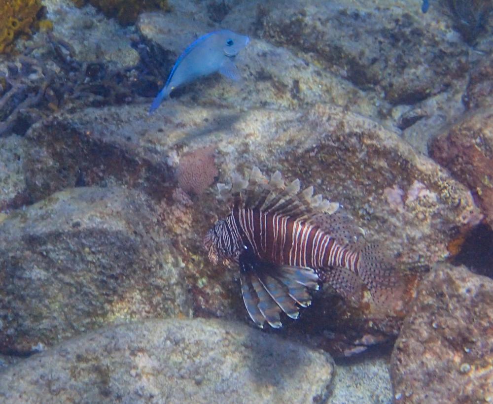
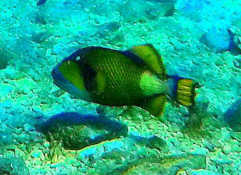
Fish of the Day
Who: Phil and Norma
Port: Belfast, Northern Ireland