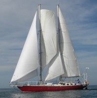
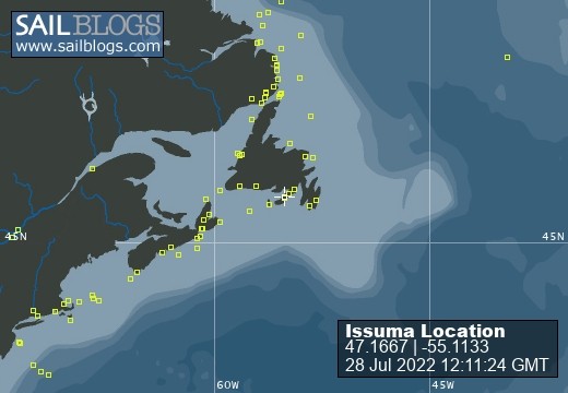
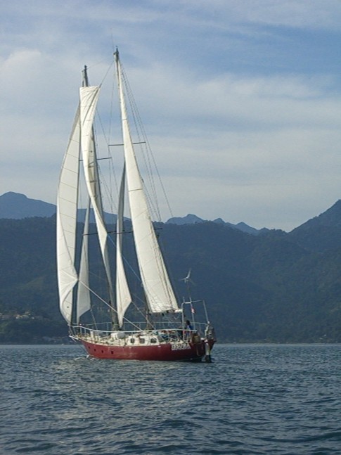
Issuma

28 July 2022
28 July 2022
08 May 2022
18 April 2022
07 April 2022
04 March 2022
17 February 2022 | Little Bay, Marystown, Newfoundland, Canada
16 February 2022
09 February 2022
06 February 2022 | Little Bay, Marystown, Newfoundland, Canada
05 February 2022 | Little Bay, Marystown, Newfoundland, Canada
01 February 2022 | Little Bay, Marystown, Newfoundland, Canada
30 January 2022 | Little Bay, Marystown, Newfoundland, Canada
25 January 2022 | Little Bay, Marystown, Newfoundland, Canada
24 January 2022 | Duricle Cove
17 January 2022
11 September 2021 | Little Bay, Marystown, Newfoundland, Canada
27 August 2021 | Grey River
26 August 2021 | Grand Bruit
26 July 2021 | Isle Valen
Baffin Bay
13 August 2011 | Baffin Bay
Richard

William Baffin was the pilot for Robert Bylot's 1616 voyage from England, around Kap Farvel (south tip of Greenland), into Davis Strait, up the west coast of Greenland to Melville Bay, then to Smith Sound and Lancaster Sound, then south along the coast of Baffin Island. This was a great achievement for the time (no European had gotten so far beyond Davis Strait), and many doubted that the accounts of the voyage were true. For two centuries afterwards, instead of showing Baffin Bay, charts showed a dotted bulge north of Davis Strait noting the legend of Baffin Bay.
The picture is from an Ice Chart, used because it was handy, and already in digital form. I'll come back to Ice Charts another time. The Ice Chart was received as a weatherfax transmission, hence the grainness and noise in the image. Issuma's track is roughly shown on the map--we intentionally went south of the ice in the middle of Baffin Bay, and then did some tacking later, as required by the wind at the time. Much time was spent motoring in no wind and dense fog.
The arrows on the map roughly show the currents in Baffin Bay (I drew them in, they are not part of the ice chart).
If the blog posts stop after this entry, it is due to a problem getting my Iridium satellite phone airtime refilled, complicated by a technical problem with the satellite phone vendor's telephone system.
Comments
| Vessel Name: | Issuma |
| Vessel Make/Model: | Damien II, 15m/50' steel staysail schooner with lifting keel |
| Extra: | Designed for Antarctica. Built in France by META in 1981. Draft 1.3m/4.5' with keel up, 3.2m/10.5' with keel down. More details at http://www.issuma.com/rhudson/issumaboat/IssumaDetails.htm |
| Home Page: | http://www.issuma.com/rhudson/ |
| Social: |
|
Issuma's Photos - Main
 |