Salish Dragon Tales
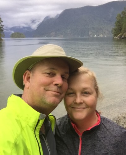
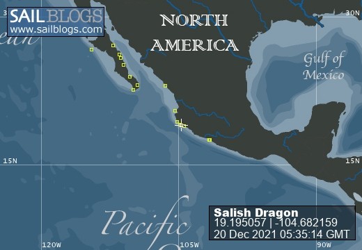
20 December 2021 | Mexico City
14 April 2020
27 March 2020
26 March 2020 | Port Coquitlam
24 March 2020 | Undisclosed Location, Port Coquitlam BC
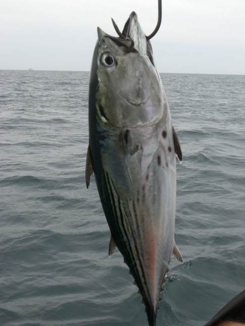
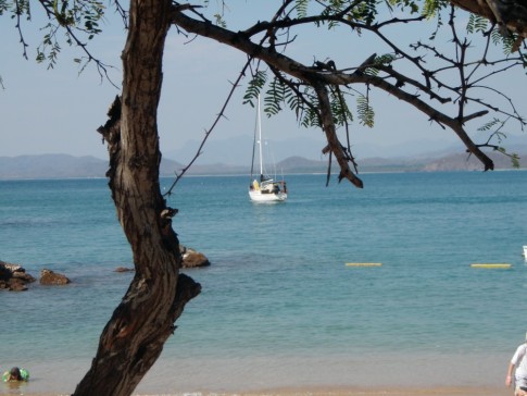
04 March 2020 | Zihuatanejo
26 February 2020 | Zihuatanejo
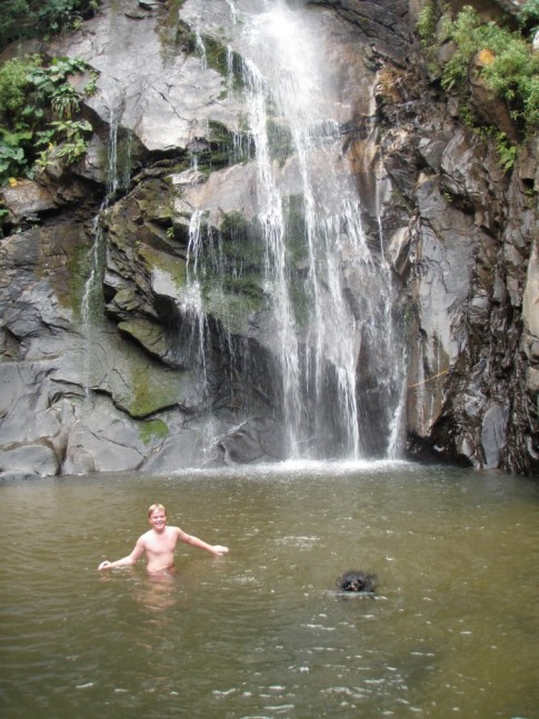
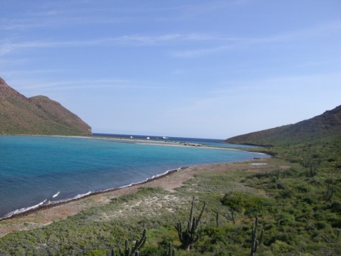
11 February 2020 | Tenacatita
03 February 2020 | Mazzy
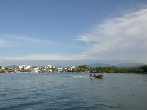
03 February 2020 | Mazatlan
01 February 2020 | Mazatlan
01 February 2020 | Mazzy
26 March 2019 | La Cruz de Huanacastle
19 December 2018 | La Cruz de Huanacaxtle
25 September 2018
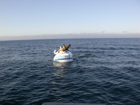
12 September 2018 | Santa Cruz
19 August 2018 | Eureka, CA
12 August 2018 | Coos Bay
30 June 2018
08 July 2017
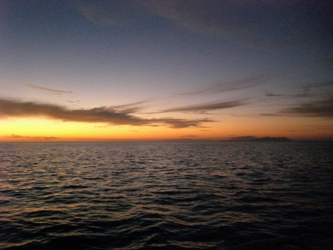
Sailing at Night
19 August 2018 | Eureka, CA
My sister asked why do you guys always seem to sail at night?
It's a good question.
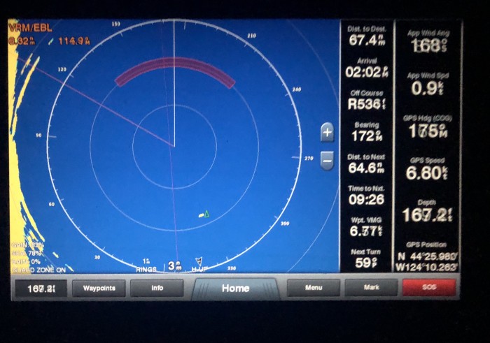
Sailing at night doesn't make a lot of sense. We have had no moon so visibility is near zero. Bombing along at six or seven knots, the first indication that there is a whale in front of us will be a loud crash. Fish boats roam around without any AIS indicating their position, heading, speed, and closest point of approach. Mostly they seem to want to hunt us down and run us over. There are dozens of different ways to get in a lot of trouble in hurry. It would be much better to sail in the daytime.
So why night?
It's really a problem with the way they designed the west coast of the US. They didn't build it with ports conveniently spaced 60 miles apart. Often we want to go 100 miles or more. Often a distance that cannot be covered in a day:
Neah Bay to Astoria: 153 miles
Astoria to Newport: 115 miles
Newport to Coos Bay: 92 miles
Coos Bay to Eureka: 180 miles
Eureka to San Francisco: 232 miles
And those aren't wimpy statute miles of 5280 feet. We're talking real nautical miles: 6076 feet long!
A few of those distances we could fit into daylight hours if we pushed hard, but there is another wrinkle. The way they designed the coast, they put bars in front of the ports. Imagine that. "Oh so boats will come in here. Let's put this shallow lump of sand across the entrance and then when the water flows out of the bay/river in a big ebb tide opposing the strong winds there will be steep, dangerous, breaking seas. What fun!" At the Columbia River bar, those seas can pile up to 60 feet high and there are 2000 vessels littered around the seabed there. Every port has a memorial to their lost mariners. The coast guard controls the bar and will close it in rough conditions. So we can plan on arriving at Coos Bay in 15 hours, but there is no guarantee that we can get into Coos Bay when we get there.
The best bar conditions tend to be at the end of the flood tide. So we try to time the arrival for that.
Once all the math is done, calculating wind speeds, wave heights, distances travelled, exit time, entrance times it turns out it's best to leave when the bar is happy and arrive at the next bar when it is happy. Then we are happy sailors. And oh yeah, it turns out we end up sailing in the middle of the night.
The conventional wisdom is that all of that is too much trouble and a lot of people go from Cape Flattery to San Francisco non-stop in 6 days and 6 nights and just skip the entire coasts of Washington, Oregon, and Northern California.
That's cool too, but we are enjoying our coastal explorations.
We have maybe another overnight or two between here and San Diego, but we are getting closer to the section of coast where they space the ports closer together and don't put as many bars in front of them. So it will be more day sailing the rest of the way.
In the meantime, I hold the belief that whales pop up in front of us all day long and we steer around them, but at night they hold their breath and stay below the surface.
It's a good question.
Sailing at night doesn't make a lot of sense. We have had no moon so visibility is near zero. Bombing along at six or seven knots, the first indication that there is a whale in front of us will be a loud crash. Fish boats roam around without any AIS indicating their position, heading, speed, and closest point of approach. Mostly they seem to want to hunt us down and run us over. There are dozens of different ways to get in a lot of trouble in hurry. It would be much better to sail in the daytime.
So why night?
It's really a problem with the way they designed the west coast of the US. They didn't build it with ports conveniently spaced 60 miles apart. Often we want to go 100 miles or more. Often a distance that cannot be covered in a day:
Neah Bay to Astoria: 153 miles
Astoria to Newport: 115 miles
Newport to Coos Bay: 92 miles
Coos Bay to Eureka: 180 miles
Eureka to San Francisco: 232 miles
And those aren't wimpy statute miles of 5280 feet. We're talking real nautical miles: 6076 feet long!
A few of those distances we could fit into daylight hours if we pushed hard, but there is another wrinkle. The way they designed the coast, they put bars in front of the ports. Imagine that. "Oh so boats will come in here. Let's put this shallow lump of sand across the entrance and then when the water flows out of the bay/river in a big ebb tide opposing the strong winds there will be steep, dangerous, breaking seas. What fun!" At the Columbia River bar, those seas can pile up to 60 feet high and there are 2000 vessels littered around the seabed there. Every port has a memorial to their lost mariners. The coast guard controls the bar and will close it in rough conditions. So we can plan on arriving at Coos Bay in 15 hours, but there is no guarantee that we can get into Coos Bay when we get there.
The best bar conditions tend to be at the end of the flood tide. So we try to time the arrival for that.
Once all the math is done, calculating wind speeds, wave heights, distances travelled, exit time, entrance times it turns out it's best to leave when the bar is happy and arrive at the next bar when it is happy. Then we are happy sailors. And oh yeah, it turns out we end up sailing in the middle of the night.
The conventional wisdom is that all of that is too much trouble and a lot of people go from Cape Flattery to San Francisco non-stop in 6 days and 6 nights and just skip the entire coasts of Washington, Oregon, and Northern California.
That's cool too, but we are enjoying our coastal explorations.
We have maybe another overnight or two between here and San Diego, but we are getting closer to the section of coast where they space the ports closer together and don't put as many bars in front of them. So it will be more day sailing the rest of the way.
In the meantime, I hold the belief that whales pop up in front of us all day long and we steer around them, but at night they hold their breath and stay below the surface.
Comments
| Vessel Name: | Salish Dragon |
| Vessel Make/Model: | Manta 40 |
| Hailing Port: | Vancouver |
| Crew: | Steve, Tracey, & Sometimes Foster |
| About: | Steve and Tracey have sailed out of Vancouver and are heading south until they can turn off the diesel heater. One day, they might come back. |
Salish Dragon's Photos - Main
 |
 |
 |
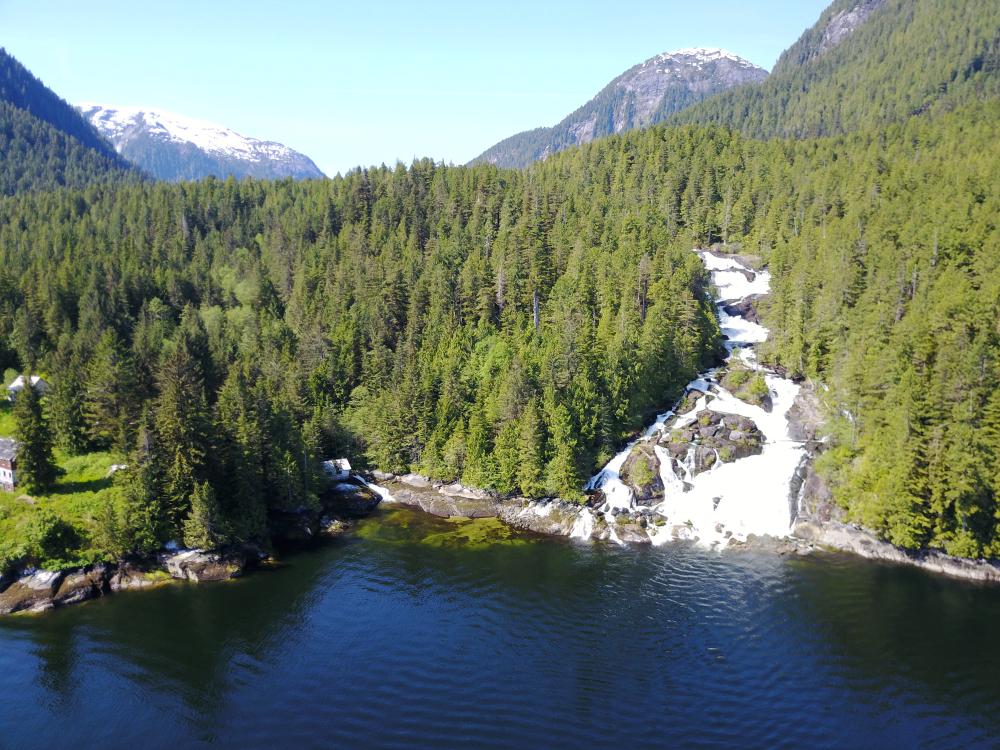
Knight Inlet, Glendale Cove and Approaches
11 Photos
Created 17 May 2017
|
 |
Hanging with Gato Go in our last week in the Sea of Cortez
29 Photos
Created 9 July 2010
|
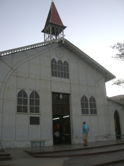 |
Exploring the Historic Copper Mining Town. The mine was purchased by the French and the town architecture has a distinct french influence.
34 Photos
Created 14 June 2010
|
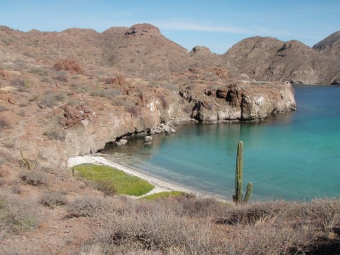 |
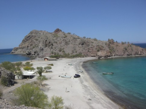
Beach party in San Jaunico, La Launcha on Isla Carmen, Honeymoon Cove on Isla Dazante, New bottom paint in Escondido, Bahia Coyote in Bahia Concepcion
47 Photos | 1 Sub-Album
Created 12 June 2010
|
 |
Saun Juanico, Isla Carmen, Isla Coranado, downtown Loreto, visits with Sarah from Puerto Moreles, re-united with sv Gato Go
107 Photos | 1 Sub-Album
Created 23 May 2010
|
 |
 |
Met up with sv Evergreen, Josh, Carol and Dennis. Visited: Bonanza, Los Islotes, East Bay of San Francisco, Isla San Jose' and Evaristo.
88 Photos
Created 5 May 2010
|
 |
A few weeks dockside to work on some projects before heading north into the Sea of Cortez.
61 Photos
Created 18 April 2010
|
 |
The Dulaba's are aboard in La Paz at Marina Palmira and we explore some of the pristine anchorages on Isla Espiritu and Isla San Francisco
43 Photos
Created 6 April 2010
|
 |
 |
 |
 |
Making our way north. The Hillels on board until Feb 23. Tsunumi level one alert on Sat Feb 27th.
110 Photos
Created 17 March 2010
|
 |
Travelling from Z Town to Manzanillo. Meeting with Al Sue and Hadley in Las Hadas Feb 13 for a week cruise with them.
25 Photos
Created 17 March 2010
|
 |
The Walker family visits us in Z-Town.
102 Photos
Created 19 January 2010
|
 |
 |
 |
 |
The 2009 BaHa Ha Ha Rally, 160 sailboats
121 Photos
Created 16 November 2009
|
 |
 |
The start of our journey
117 Photos
Created 10 August 2009
|
 |
The Crew
Who: Steve, Tracey, & Sometimes Foster
Port: Vancouver
Gallery


SailBlogs Friends
