
Our Ever-Changing Backyard

14 April 2024 | Zakinthos to Sounion, Greece
27 January 2024 | Preveza to Zakinthos Island, Greece
15 December 2023 | Sarandë, Albania to Preveza, Greece
27 November 2023 | Himarë, Albania
13 November 2023 | Orikum, Albania
30 October 2023 | Durrës, Albania
29 October 2023 | Porto Montenegro to Athens, Greece
22 August 2023 | Montenegro
21 August 2023 | Montenegro
08 August 2023 | Montenegro
02 August 2023
27 July 2023 | Montenegro
04 May 2023
18 April 2023 | Monopoli, Italy - Zadar, Croatia
09 April 2023 | Korčula, Croatia
01 April 2023 | Otok Badija, near Korcula, Croatia
15 March 2023 | Mljet National Park, Croatia
11 December 2022 | Uvala Przina, Pelješac Peninsula, Croatia
20 November 2022 | Uvala Podškolj, Croatia
05 November 2022 | Lopud, Croatia
Passage to Isal isabella
10 January 2015 | Current location: Isla Isabel
Vandy Shrader
We finally left Mazatlan on Thursday morning, January 8 - only four days later than we had originally planned - heading for the little island of Isla Isabel, the ?Galapagos of Mexico,? about 90 miles south.
We'd stayed in the marina, waiting for what I call a Goldilocks wind: not too much wind, not too little, but just right. Everyone has their own definition of a Goldilocks wind. Mine is wind blowing 5-15 knots, from a good direction. Earlier in the week, there hadn't been enough wind, so we would have had to motor; then, a snarly Norther blew through for a couple of days, churning up the seas, which wouldn't have been any fun, either.
One of the many benefits of being a full-time cruiser is that we usually have the luxury of waiting for good conditions before heading out. Thursday's forecast was for winds out of the north 9-13 knots: Goldilocks wind!
So Thursday morning, we headed to the fuel dock, filled up our newly-cleaned fuel tank with diesel, and headed out of the breakwater...and immediately turned back to retrieve one of our fenders, which had fallen overboard just inside the breakwater jetties and was bobbing impertinently, as if daring us to come and get it. So we did. Eric was at the helm, and he steered SCOOTS safely and expertly in three full 360's in the sloppy water just outside the harbor entrance, while I hung over the side with the boat hook. (He had to do three 360's because it took three tries to get the fender on board.)
Our first stop was Isla Venados, about a mile away, where we dropped anchor (the same place we anchored when we first arrived three weeks earlier), bringing our time in Mazatlan full circle. You may wonder why we left the marina and then anchored just down the road. Well, we needed to leave Mazatlan in the afternoon, in order to arrive at Isla Isabel after sunrise, BUT we also needed to leave the marina (and maneuver to the fuel dock) in the early morning, during slack high tide, when there was enough water under our keel, and no pesky tidal current to make things dicey.
So after leaving the marina we hung out on anchor for a few hours, making final preparations for the trip, and relaxing until it was time to head out, which was really quite enjoyable.
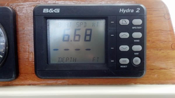
We left Isla Venados at 2 pm in a Goldilocks breeze ? 10-15 knots on the beam (from the side, for you non-nautical-people) ? which made for great sailing. SCOOTS cruised along happily at 8.5 knots for about three hours, which was great, except that our fancy routing program (the one that tells us the best route and how long the trip will take) had predicted that we would be going 6 knots or less during this part of the journey. But it's really hard to slow down, when you're having such a great sail! So we didn't. We decided that we would just go extra slow, later on.
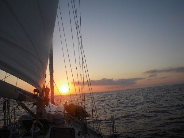
Speaking of later on, during my first watch, from 10 pm-1 am, some clouds gathered off in the distance. I watched, unconcerned, as lightning repeatedly lit up the clouds over the land, many miles away. I like to watch lightning ? from a distance. Awhile later, I noticed that the sky directly behind us was also quite cloudy, and was occasionally lit up by lightning. Hmm. Feeling a little concerned now. When the lightning started to spike down to the water, and I could hear thunder, I got even more concerned. But when three lightning bolts struck the water simultaneously, and I only counted to five-one-thousand before I heard the thunder, I got really concerned. I DON'T like to watch lighting from a boat, when it's that close.
I woke Eric up from his off-watch sleep, so he could help me activate SCOOTS' lightning precautions. This included attaching one end of some jumper cables to the shrouds (the metal cables that hold the sides of the mast) and trailing the other end in the water, to discharge the local area and thus make SCOOTS a less-enticing target for the lightning; stashing some of our portable electronics in the microwave (which makes a Faraday cage); disconnecting all the radio antennas from their radios, and unplugging all of our nonessential electronics. This done, Eric went back to bed, and I continued with my watch. Not much else you can do.
For the rest of my watch, I focused on the sky in front of us, which was clear and full of bright stars, though I did sneak peeks back behind us from time to time, enough to notice that the dark clouds were tracking from west to east, and not from north to south, the direction that we were going. Phew!
On Eric's 1 am-4 am watch, though, more clouds with lightning developed, and we were in the direct line of some of them. Using the radar, he was able to track the clouds and even steer us between and around them, so that we missed all of the bad weather. Still, it's unnerving (at least for me) to sail with lightning and thunder. I know I'll have to do it someday, but the longer I can forestall that, the better.
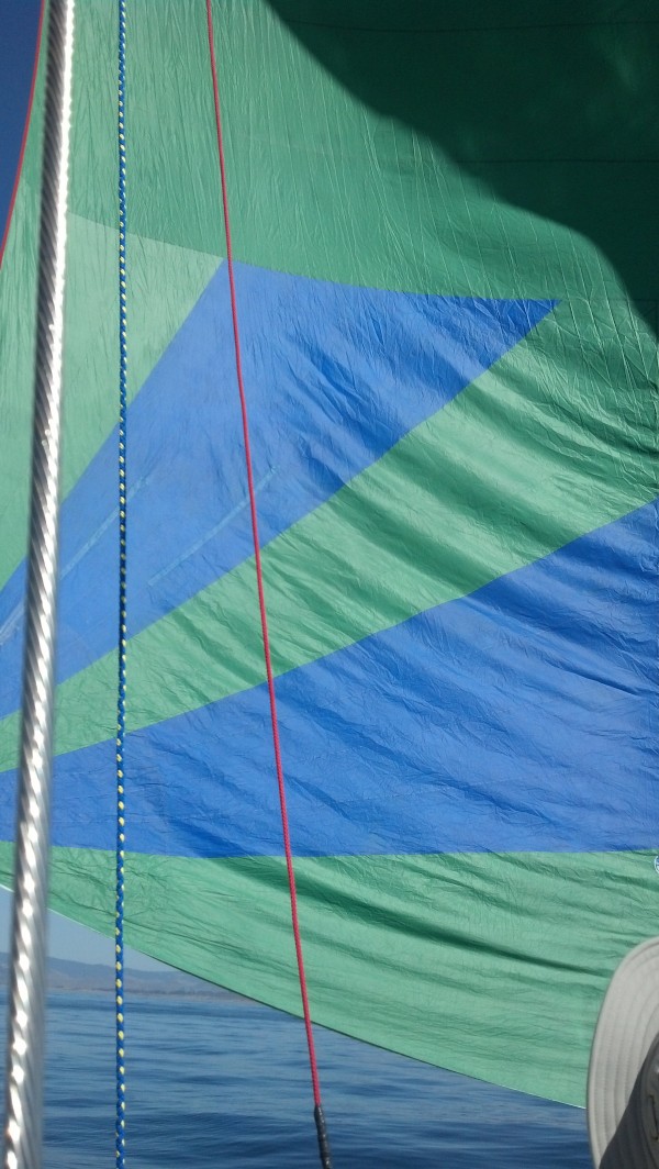
One of the drawbacks of all this storm avoidance, was that we needed to speed up again. We had been sailing with just the main sail up, to keep our speed down, but when the storms came along, we put up the jib again, to gain some speed. This put us even more ahead of schedule than we already were. One does NOT want to get to Isla Isabel in the dark, for reasons I'll get to soon.
In the wee hours of the morning, when we were about 30 miles from Isla Isabel, the wind decreased, allowing us to slow down quite a bit. In fact, halfway through my 4am-7am watch, when we began creeping along at less than one knot, I turned the engine on. But I kept us at a slow speed.
So, here are two reasons why one does NOT want to arrive at Isla Isabel in the dark:
-Reason #1: the electronic navigation charts are notorious for not always agreeing with where the GPS coordinates say things are in Mexico. For instance, these charts will routinely show your boat on land, when it is in fact sitting quite happily at anchor a quarter-mile away, most decidedly afloat. Or, they will show your current trajectory taking you safely past a rocky cape, when in fact you are going to run into it. This is not good, but it's the current situation.
As prudent mariners, we use more than one form of navigation. In our case, this means we use four different electronic chartplotting systems, which tell us where we are on a map, in relation to GPS coordinates. Each of the four systems has benefits and drawback, strengths and weaknesses, so we really want more than one. We also rely ? HEAVILY ? on our innate spatial locating system: our eyes. As you can imagine, it's a lot more difficult to use our eyes to navigate at night, than it is in the daytime. System redundancy is good, as is daylight.
Anyway, before we left, Eric programmed some actual GPS waypoints for our course into the various navigation systems. When he then plotted our course from Mazatlan to Isla Isabel, three of our navigation systems had the island in the wrong place, with respect to the GPS coordinates. With the same track between GPS coordinates, two of the systems had us traveling down the WEST side of the island, ending up at a random spot in the ocean; and the third had us traveling right THROUGH the island, to another random spot in the ocean. Hmm. The fourth system showed our track traveling down the EAST side of the island, where we intended to go, and terminating at the correct destination. We definitely wanted to see the island when we got close. Hence daylight would be necessary.
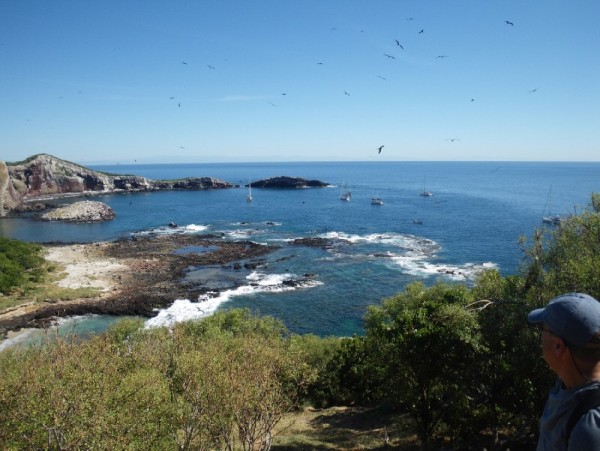
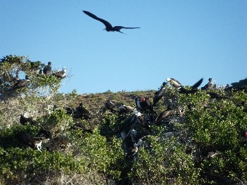
-Reason #2: Isla Isabel is a rocky crag of a place, and its two anchorages are strewn with boulders and reefs, just waiting to snag your anchor or rip up your boat. Put your anchor down in the wrong place, and you could (1) end up leaving it there for posterity, hopelessly wedged in the rocks, or (2) think you're anchored but drag free because your anchor wasn't buried but was instead sitting on a rock. Drive through the wrong place in the anchorage and one of the many rocky reefs will make nasty, expensive alterations to the bottom of your boat. So you can see why getting here in the daylight, when you can see the lay of the land - including the distribution of the rocks on the bottom - would be a good thing.
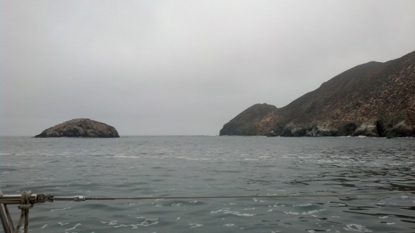
But back to our story: we puttered slowly toward Isla Isabel for the rest of the pre-dawn, and when the sun rose, we could see the island looming up in the near distance. We cruised down the EAST side of the island and were amused at the nav systems showing us traveling down the WEST side of the island.
Just as we turned into the wind to take our sails down, two enormous humpback whales surfaced about twenty feet from SCOOTS, took a big breath, raised their tail flukes, and dove. Wow! Welcome to Isla Isabel!
Next time, I'll share our adventures since arriving at Isla Isabel.
We'd stayed in the marina, waiting for what I call a Goldilocks wind: not too much wind, not too little, but just right. Everyone has their own definition of a Goldilocks wind. Mine is wind blowing 5-15 knots, from a good direction. Earlier in the week, there hadn't been enough wind, so we would have had to motor; then, a snarly Norther blew through for a couple of days, churning up the seas, which wouldn't have been any fun, either.
One of the many benefits of being a full-time cruiser is that we usually have the luxury of waiting for good conditions before heading out. Thursday's forecast was for winds out of the north 9-13 knots: Goldilocks wind!
So Thursday morning, we headed to the fuel dock, filled up our newly-cleaned fuel tank with diesel, and headed out of the breakwater...and immediately turned back to retrieve one of our fenders, which had fallen overboard just inside the breakwater jetties and was bobbing impertinently, as if daring us to come and get it. So we did. Eric was at the helm, and he steered SCOOTS safely and expertly in three full 360's in the sloppy water just outside the harbor entrance, while I hung over the side with the boat hook. (He had to do three 360's because it took three tries to get the fender on board.)
Our first stop was Isla Venados, about a mile away, where we dropped anchor (the same place we anchored when we first arrived three weeks earlier), bringing our time in Mazatlan full circle. You may wonder why we left the marina and then anchored just down the road. Well, we needed to leave Mazatlan in the afternoon, in order to arrive at Isla Isabel after sunrise, BUT we also needed to leave the marina (and maneuver to the fuel dock) in the early morning, during slack high tide, when there was enough water under our keel, and no pesky tidal current to make things dicey.
So after leaving the marina we hung out on anchor for a few hours, making final preparations for the trip, and relaxing until it was time to head out, which was really quite enjoyable.
We left Isla Venados at 2 pm in a Goldilocks breeze ? 10-15 knots on the beam (from the side, for you non-nautical-people) ? which made for great sailing. SCOOTS cruised along happily at 8.5 knots for about three hours, which was great, except that our fancy routing program (the one that tells us the best route and how long the trip will take) had predicted that we would be going 6 knots or less during this part of the journey. But it's really hard to slow down, when you're having such a great sail! So we didn't. We decided that we would just go extra slow, later on.
Speaking of later on, during my first watch, from 10 pm-1 am, some clouds gathered off in the distance. I watched, unconcerned, as lightning repeatedly lit up the clouds over the land, many miles away. I like to watch lightning ? from a distance. Awhile later, I noticed that the sky directly behind us was also quite cloudy, and was occasionally lit up by lightning. Hmm. Feeling a little concerned now. When the lightning started to spike down to the water, and I could hear thunder, I got even more concerned. But when three lightning bolts struck the water simultaneously, and I only counted to five-one-thousand before I heard the thunder, I got really concerned. I DON'T like to watch lighting from a boat, when it's that close.
I woke Eric up from his off-watch sleep, so he could help me activate SCOOTS' lightning precautions. This included attaching one end of some jumper cables to the shrouds (the metal cables that hold the sides of the mast) and trailing the other end in the water, to discharge the local area and thus make SCOOTS a less-enticing target for the lightning; stashing some of our portable electronics in the microwave (which makes a Faraday cage); disconnecting all the radio antennas from their radios, and unplugging all of our nonessential electronics. This done, Eric went back to bed, and I continued with my watch. Not much else you can do.
For the rest of my watch, I focused on the sky in front of us, which was clear and full of bright stars, though I did sneak peeks back behind us from time to time, enough to notice that the dark clouds were tracking from west to east, and not from north to south, the direction that we were going. Phew!
On Eric's 1 am-4 am watch, though, more clouds with lightning developed, and we were in the direct line of some of them. Using the radar, he was able to track the clouds and even steer us between and around them, so that we missed all of the bad weather. Still, it's unnerving (at least for me) to sail with lightning and thunder. I know I'll have to do it someday, but the longer I can forestall that, the better.
One of the drawbacks of all this storm avoidance, was that we needed to speed up again. We had been sailing with just the main sail up, to keep our speed down, but when the storms came along, we put up the jib again, to gain some speed. This put us even more ahead of schedule than we already were. One does NOT want to get to Isla Isabel in the dark, for reasons I'll get to soon.
In the wee hours of the morning, when we were about 30 miles from Isla Isabel, the wind decreased, allowing us to slow down quite a bit. In fact, halfway through my 4am-7am watch, when we began creeping along at less than one knot, I turned the engine on. But I kept us at a slow speed.
So, here are two reasons why one does NOT want to arrive at Isla Isabel in the dark:
-Reason #1: the electronic navigation charts are notorious for not always agreeing with where the GPS coordinates say things are in Mexico. For instance, these charts will routinely show your boat on land, when it is in fact sitting quite happily at anchor a quarter-mile away, most decidedly afloat. Or, they will show your current trajectory taking you safely past a rocky cape, when in fact you are going to run into it. This is not good, but it's the current situation.
As prudent mariners, we use more than one form of navigation. In our case, this means we use four different electronic chartplotting systems, which tell us where we are on a map, in relation to GPS coordinates. Each of the four systems has benefits and drawback, strengths and weaknesses, so we really want more than one. We also rely ? HEAVILY ? on our innate spatial locating system: our eyes. As you can imagine, it's a lot more difficult to use our eyes to navigate at night, than it is in the daytime. System redundancy is good, as is daylight.
Anyway, before we left, Eric programmed some actual GPS waypoints for our course into the various navigation systems. When he then plotted our course from Mazatlan to Isla Isabel, three of our navigation systems had the island in the wrong place, with respect to the GPS coordinates. With the same track between GPS coordinates, two of the systems had us traveling down the WEST side of the island, ending up at a random spot in the ocean; and the third had us traveling right THROUGH the island, to another random spot in the ocean. Hmm. The fourth system showed our track traveling down the EAST side of the island, where we intended to go, and terminating at the correct destination. We definitely wanted to see the island when we got close. Hence daylight would be necessary.
-Reason #2: Isla Isabel is a rocky crag of a place, and its two anchorages are strewn with boulders and reefs, just waiting to snag your anchor or rip up your boat. Put your anchor down in the wrong place, and you could (1) end up leaving it there for posterity, hopelessly wedged in the rocks, or (2) think you're anchored but drag free because your anchor wasn't buried but was instead sitting on a rock. Drive through the wrong place in the anchorage and one of the many rocky reefs will make nasty, expensive alterations to the bottom of your boat. So you can see why getting here in the daylight, when you can see the lay of the land - including the distribution of the rocks on the bottom - would be a good thing.
But back to our story: we puttered slowly toward Isla Isabel for the rest of the pre-dawn, and when the sun rose, we could see the island looming up in the near distance. We cruised down the EAST side of the island and were amused at the nav systems showing us traveling down the WEST side of the island.
Just as we turned into the wind to take our sails down, two enormous humpback whales surfaced about twenty feet from SCOOTS, took a big breath, raised their tail flukes, and dove. Wow! Welcome to Isla Isabel!
Next time, I'll share our adventures since arriving at Isla Isabel.
Comments
| Vessel Name: | Awildian, previously SCOOTS (2012-2021) |
| Vessel Make/Model: | Leopard 48 |
| Hailing Port: | San Francisco, CA |
| Crew: | Eric and Vandy Shrader |
| About: | We've been living aboard full time since September 2014. We sailed our Able Apogee 50, SCOOTS, from 2012-2021, and are now aboard our Leopard 48, Awildian, since March 2022. |
| Social: |
|
Awildian, previously SCOOTS (2012-2021)'s Photos - Main
 |
|
|
|
|
|
|
|
|
|
 |
|
|
|
|
|
|
|
|
|
|
|
|
|
|
|
|
|
|
|
|
|
|
|
|
|
|
|
|
|
|
|
|
|
|
|
|
|
|
|
|
|
|
|
|
|
|
|
|
|
|
|
|
|
|
|
|
|
|
|
|
|
|
|
|
|
|
|
|
|
|
|
|
|
|
|
|
 |
 |
 |
 |
 |
 |
|
 |
 |
 |
 |
 |
 |
 |
 |
 |
 |
 |
 |
 |
 |
 |
 |
 |
 |
 |
 |
 |
Pics from our trip time aboard Scoots in July 2013.
23 Photos
Created 7 July 2013
|
 |
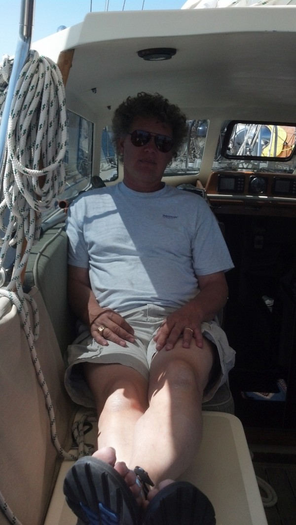
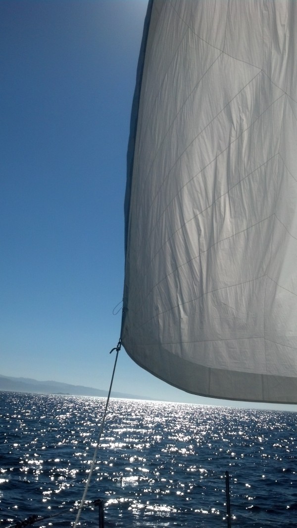
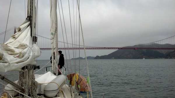
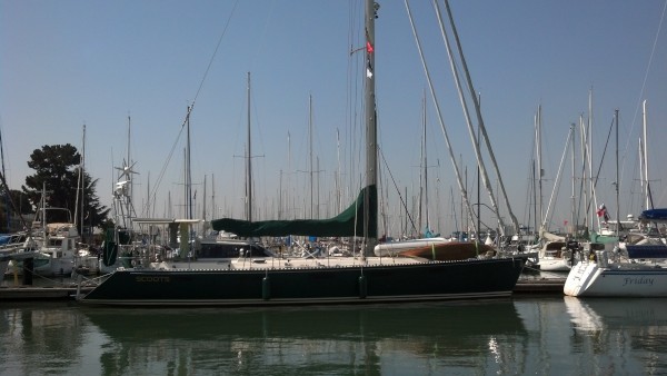
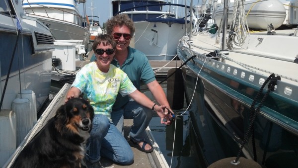
Who: Eric and Vandy Shrader
Port: San Francisco, CA