
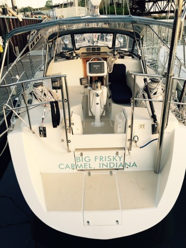
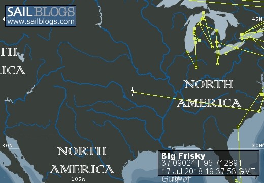
Big Frisky
Kurt and Pamela are sold up and are sailing aboard SV Big Frisky, an Outbound 46 with the Kona Boys, Honu, Kona and Chico. Join us while we learn what it is to be Blue Water cruisers and see the world. Follow us on Instagram @big_frisky


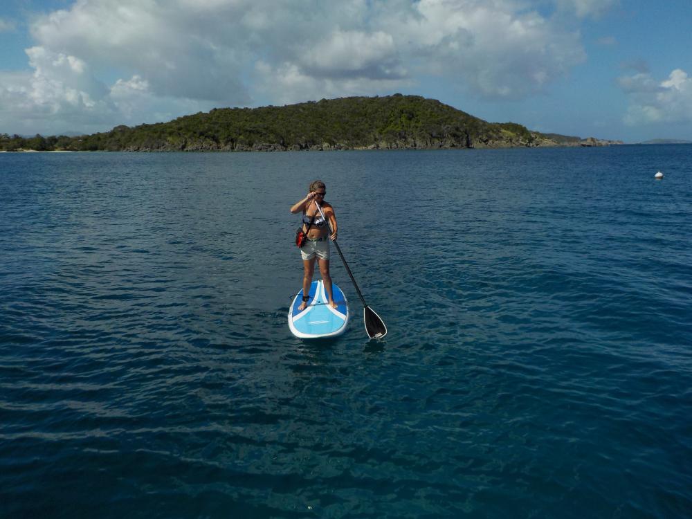
15 December 2018 | Abacos Bahamas
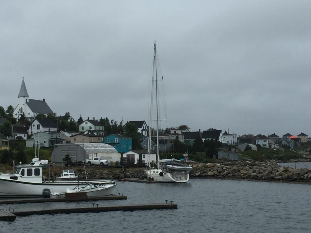
10 August 2018 | St Peters, Nova Scotia
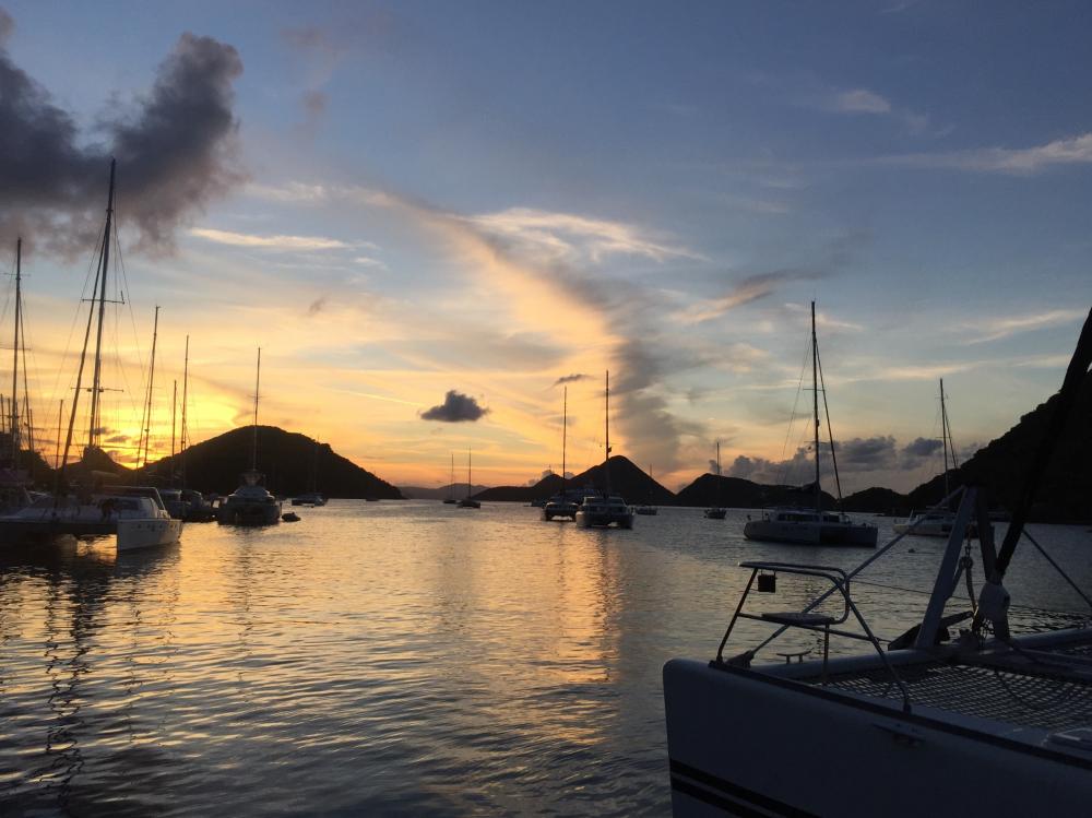
17 July 2018 | Hadley Harbor, MA
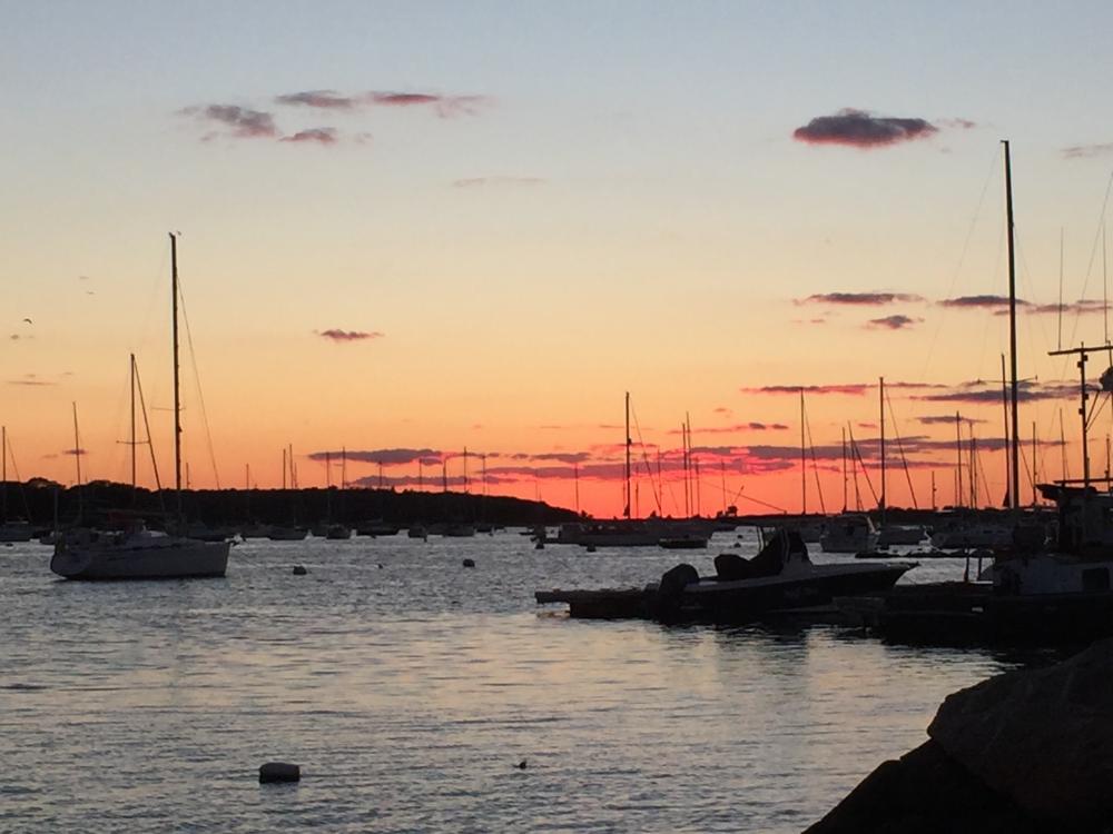
12 July 2018 | Cuttyhunk
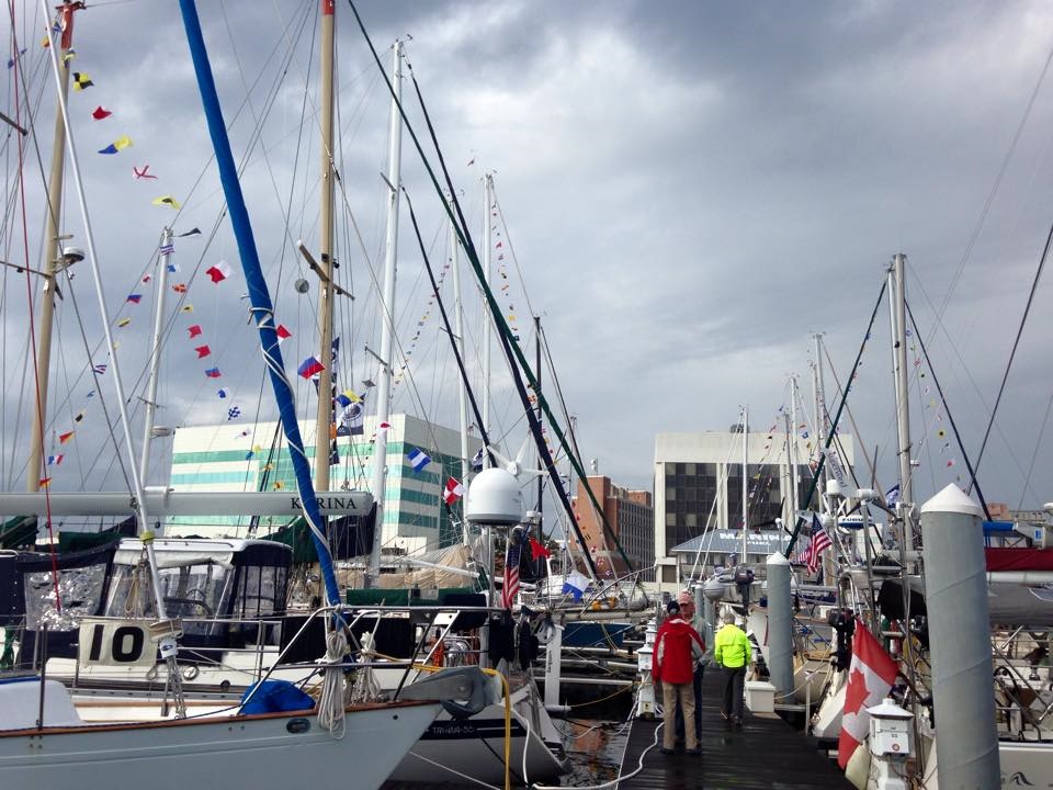
29 November 2017 | Downtown Providence
11 November 2016 | Morehead City North Carolina
15 October 2016 | Annapolis Landing Marina
30 September 2016 | Two-Mile Landing Marina, Cape May NJ
03 August 2016 | Charleston Harbor Marina
01 July 2016 | Charleston Harbor Marina
30 May 2016 | Charleston Harbor, South Carolina
29 May 2016 | Charleston Harbor Marina
28 May 2016 | Charleston Harbor Marina
19 May 2016 | Cape Canaveral
13 May 2016 | Bahia Mar Marina, Fort Lauderdale FL USA
12 May 2016 | Atlantic Ocean 140 miles South of Fort Lauderdale
11 May 2016 | Atlantic Ocean 60 miles from Old Bahama Channel
10 May 2016 | Atlantic Ocean 50 miles north of Haiti
08 May 2016 | Atlantic Ocean 45 miles north of DR
06 May 2016 | Nanny Cay, Tortola BVI
Navigation is the 4th demension
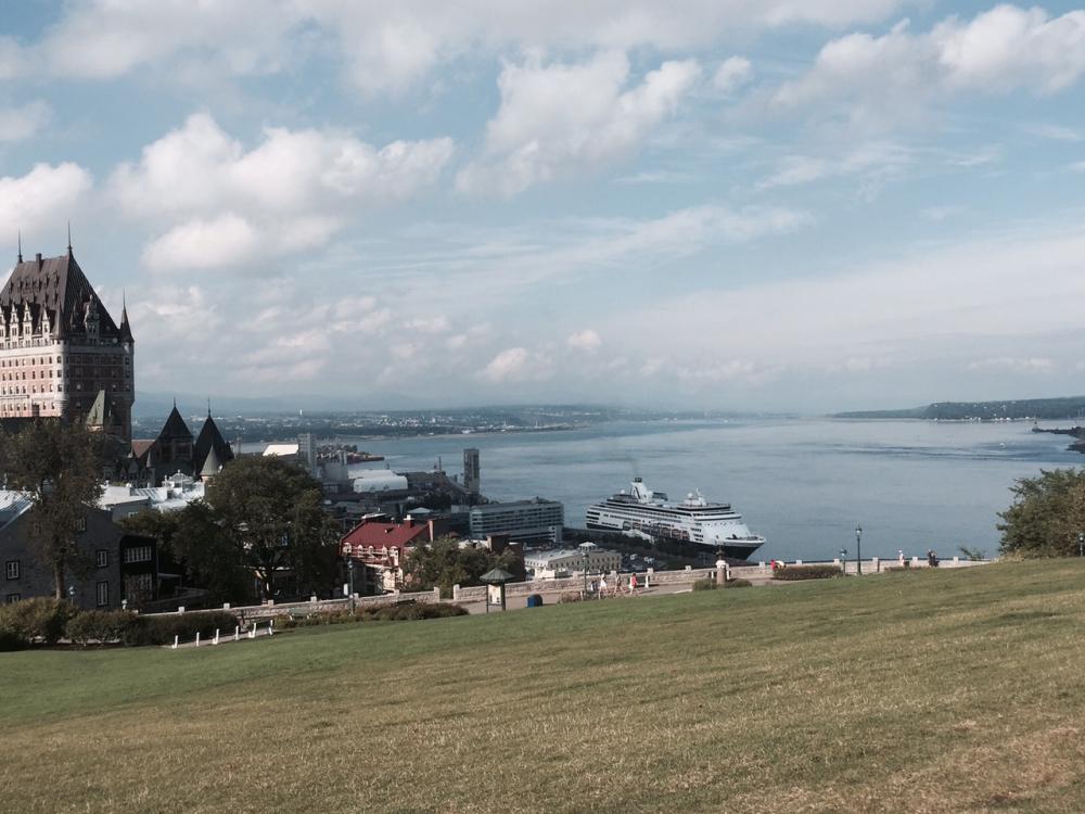
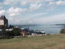
16 September 2015 | Cap-a-l'Aigle Quebec
Cooper
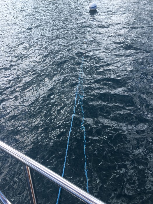
Ever seen Interstellar with that goofball Matthew Mcconaughey? Well today we went into the 4th dimension.
Tides are the raising and lowering of water level as caused by the moon's rotation around the world pulling the water to and fro. You never really think about it if you live in Indiana. It's an abstract concept like money exchange rates and altitude effect on you UNTIL you travel abroad and your money has to change to local currency before you can spend it or you agree to go to a music festival in a box canyon above Denver meeting your step-son and his buddies.
In Canada today the USD is about a 26% premium to the CAD. So a $3.50 coffee is actually $2.59 USD - Cool! Hauling a cooler full of beer from the car you just drove to 7,000' 150 yard to the campsite almost makes you pass out from lack of O2. You get the picture.
Driving a car and sailing a boat? Like going from 2 dimensions, speed and direction to 4 dimensions, speed, direction, current and tides. I didn't think much about it till our lives depended on it. Up until Kingston ON where 1,000 islands are we just had to worry about speed and direction - oops don't go too fast in the welland locks or you crash your boat into the side. Uh, you stayed out too late and have to race back to the marina at Sandusky and enter a sketchy breakwall in the pitch back and find your slip - better be going in the right direction otherwise you take out the rock breakwall at the entrance to the marina.
We entered the St Lawrence river just east of Kingston and had been warned by our cruising guide of the pinch points of the river speed up the current to many times what it is normally, remember our hair raising entry to Montreal, fighting the current to reach our intended destination of the old port of montreal. Enter tides and their effect on current. Tides are the vertical rise and fall of the water level as caused by the aforementioned pull of the moon. It affects where you can go, when, given your draft or your depth of the keel - in our case 6.6' or 1.9M. Current are part of oceans and are caused by the inflow of water of high tide or 'flood' and the exit of the same water on dropping tide or 'ebb' flow.
Pretty esoteric until it means you can't get where you want to go because you are hauling ass and scream by your destination, unable to motor back up to where you want to go. I talked about it in 'playing the current' post. Today we added tide and currents in a BIG way. Tides = vertical, currents = horizontal. Let me add and not talk too much about it, but a tide is not a tide. In some parts of the world like here on the East coast we have two highs and two low tides roughly 6 hours apart of equal rise and fall called semidiurnal. Some, like the gulf of mexico have just one high and one low, the west coast? Mixed, crazy high/low swings not on an even cycle or height- see this NOAA short post for the dets.
How does this roll back to today? We've been gathering the reference materials from the canadian fisheries and oceans, the tide and current tables for our route and the Atlas of currents on the St Lawrence river, Three rivers and to the east where the tides begin to take effect. All a bunch of unfamiliar tables of data based upon locations. Pretty amazing really. A small booklet that tells you by days of the month and location the time of the tides, the height along with the currents that are caused by the same. Seemingly not much use until you add the cruising guide that tells you how many hours ahead of the high or low tide in specific locations you need to leave in order to maximize the current in your favor and minimizing the negative effects to arrive at your destination. The only drawback? You have to leave when the tides say you have to leave, day or night.
Originally when we were trying to estimate our time in the land of Cleve for Cliff's surgery I was looking at tide tables that said we had to leave at like 0300 in the morning to arrive at today's destination. Not a terribly attractive proposition. Since the tides here advance each day our week's delay played in our favor by allowing us to leave today at 0700, at the first lift of the bridge in the QC marina that only lifts 0700-2359. Time and direction, check, no problem. It's one thing to read about it, another to experience it. I would say our 71 nm run today that took us 8.5 hours was the most perplexing thing I've done.
We left two hours before high tide as instructed at QC. At that time the tide was still flooding about a 1.5 nm current flowing upstream slowing our 8 kn paddle speed to 6.5 kn made good. Think about that. The tides are so strong that it moves water UPSTREAM in a river that is like 3-4 miles wide, is running 3 knots downstream and has cruise ships and container ships moving up and down it. At its height it may make 3-4 knots of current UPSTREAM. In about 2 hours the tide went 'slack'. Move the tide around and have it ebbing and it added twice on our trip today 6 knots of extra speed so were were traveling at 14 knots. Our theoretical hull speed as a displacement vessel is around 9 knots and we cruise at 8 knots, well below that. It was like being on a conveyor belt the size of manhattan.
It's indescribable to tell you how it feels to go around a corner on a river that is like 5 mile long at 14 knots at the start, dive down inside the turn like a race car on a track hitting the apex of the turn which slows you down to around 11 knots and sling shotting out of the turn back to 13+ knots, all the while jerking left and right as the autopilot tries to maintain your course with the rip currents of huge whirlpools of eddies the size of a square block around you. The currents also 'set' you by pushing you either left or right dependent upon rip currents and you have to 'oversteer' like race car drivers do when they 'push' through a turn at indy. It is incredibly humbling as you realize quite quickly that you really are just steering and holding on, it's the incredible power of unseen gravity that's truly in charge. And as if on que as we arrived the current dropped to about 1.75 knots allowing us to pull into the marina with ease, like pros.
We did see an odd phenomenon today we couldn't explain that I grabbed the reference materials when I got in to try to figure out and discovered a 5th dimension at work. We expect to experience it at its height tomorrow and I'll try to get pictures to share but in a nutshell in addition to the 4 factors I described today there is water densities clashing with each other. The warm, less dense fresh river water against the much colder, denser salt water of the gulf of st Lawrence. The effect? Strange lines of foam that were dark brown on the river side and bright green on the ocean side that snaked across the river representing the border between the two.
Enter the 5th dimension, "alright, alright, alright" as my boy Matthew would say.....
Comments
| Vessel Name: | Big Frisky |
| Vessel Make/Model: | Outbound 46 |
| Hailing Port: | Carmel Indiana |
| Crew: | Kurt and Pamela |
| About: | Kurt and Pamela have been together for sixteen years and recently married. Kona, Honu and Chico are avid sailing companions and are committed to keeping all ducks off docks wherever they may go. Kurt is a retired editor for a publishing company and Pamela is a retired college librarian. |
| Extra: | After travelling through the Great Lakes and out the St. Lawrence Seaway, Big Frisky and her crew are ready to start the next leg of their adventure, a passage to Tortola, British Virgin Islands. |
| Home Page: | tinyurl.com/big-frisky |
| Social: |
|
Big Frisky's Photos - Main
 |
 |
 |
6 day passage from Nanny Cay, Tortola BVI to Ft Lauderdale Florida
5 Photos
Created 19 May 2016
|
 |
The four days of Kurt and Pamela's Birthdays April 18-April 22.
10 Photos
Created 30 April 2016
|
 |
 |
 |
 |
|
 |
 |
.jpg) |
 |
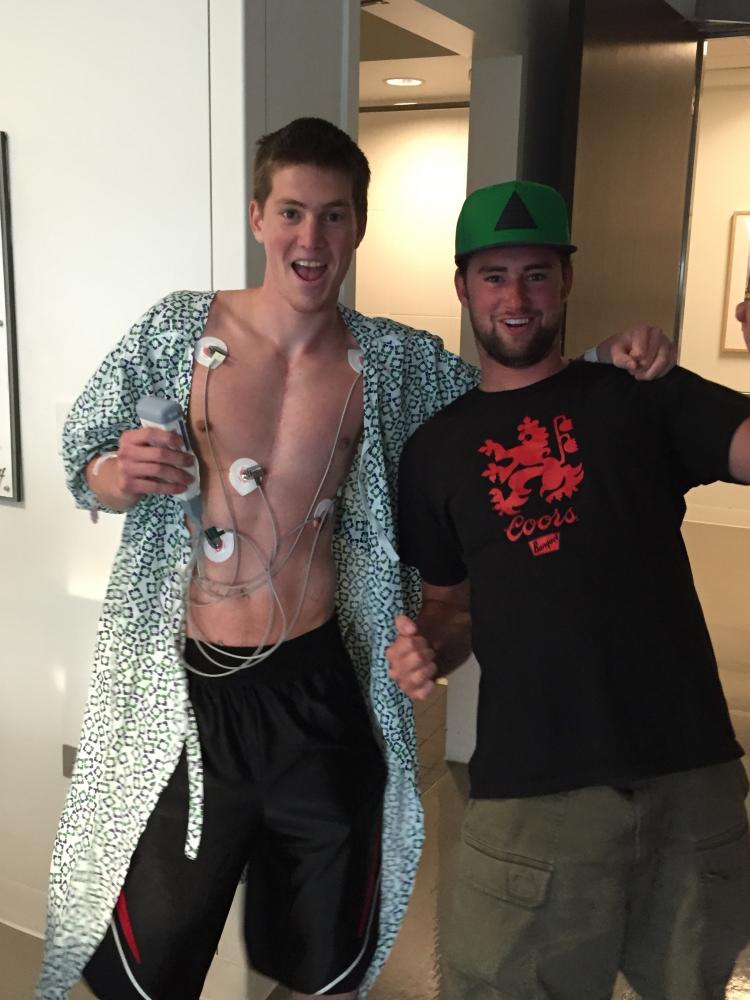 |
Cliff's hospitalization at Cleveland Clinic
5 Photos
Created 31 August 2015
|
 |
 |
 |
 |
 |
.jpg) |
.jpg) |
Big Frisky
Who: Kurt and Pamela
Port: Carmel Indiana
Gallery

Kurt & Pamela
Links and Videos
- Where's Big Frisky Now?
- The Vizslas
- Mangrove Snorkling Video St Johns
- Crashing through waves in a gale on way to tortola
- ARC Carib 1500 Fleet Tracker
- First Mate to the top of the mast in Halifax
- Ocean Swells from Joaquin Video
- Pierce Rock
- Making Steel in Detroit
- Kurt and His Custom Anchor Bag
- The Badger
- How Storage Works in the Fridge/Freezer I
- How Storage Works in the Fridge/Freezer II
- Passing Under the Charlevoix Bridge