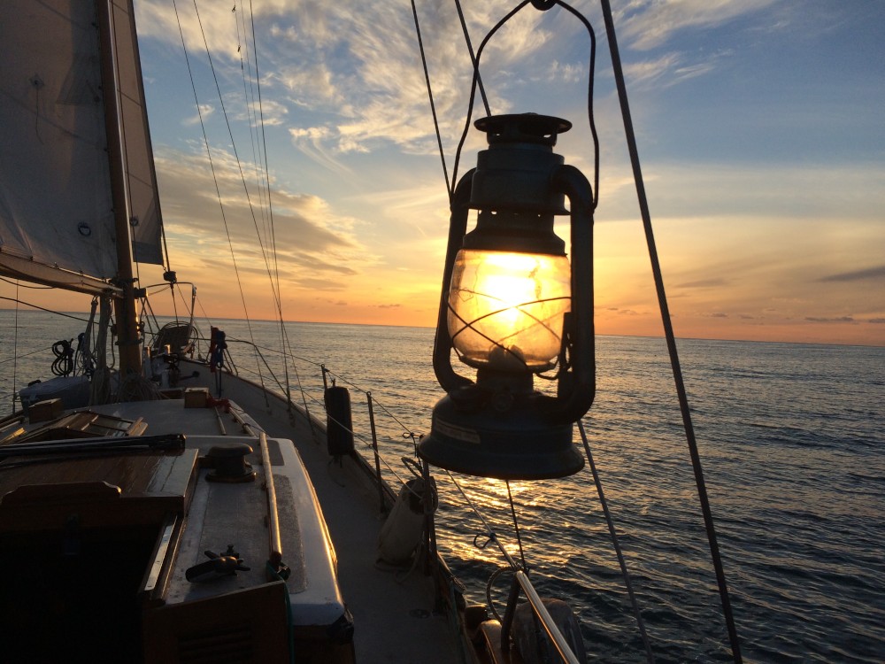
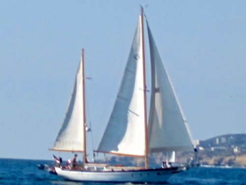
S/V Uhuru
The excellent adventures of S/V Uhuru.

Never pass up an opportunity to do something extraordinary.
Who: Brian
Port: San Diego, CA
19 February 2019
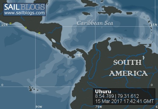
18 November 2017 | Portobello, Panama
26 August 2017
06 April 2017
06 April 2017
06 April 2017
05 April 2017
05 April 2017
05 April 2017
28 March 2017
11 March 2017
08 March 2017
07 March 2017
05 March 2017
05 March 2017
26 February 2017
25 February 2017
24 February 2017
24 February 2017
Banderas Bay Entrance, Vallarta
01 April 2016
It’s really blowing here in Banderas Bay. We have been at the La Cruz anchorage since we arrived on Friday morning, April 1st.
We had some good wind out of San Blas so we sailed for about 3 hours until it died. Motoring at 6 knots put us at the entrance to the bay at approx. 10:30pm which was way ahead of the time frame we had in mind.
I had read that the northern entrance to the bay was between Isla la Marietta and Punta de Mita and that there was a rock in the center. There was 4.5 miles between the two but the entrance was only a mile across due to rocks and shoals. During the day it is easy but you need to be cautious at night.
I had plotted three waypoints into our chart plotter for the bay entrance, from two different cruiser guides. The chart we had didn’t have a detailed map of the entrance so it was hard to chart. It was dark and there was no moon and the wind had come up. We made the turn with the wind at our backs and were watching the radar returns bouncing off the waypoints. (Waypoints are not supposed to show up on radar.) The navigation app we were using was showing us at .5 miles from Punta de Mita, the northern point of the bay. Not feeling completely comfortable, we turned off.
We could have stayed offshore until morning so we could see what was going on, but there were swells and it would have been an uncomfortable evening.
Isla la Marietta was the first of a string of small islands ENE/WSW of the point with rocks and shoals for 5 miles. We considered heading further south and making the transit in between two of the closer ones, Isla Larga and La Onda. I was reading the cruiser guides and looking at the chart but everything I saw said there were reefs and uncharted rocks and we just didn’t feel comfortable with that.
We ended up going all the way around the chain of islands and transiting in between Los Morros Cuates and Roca Corbetena and it wasn’t fun, lol. We were both tired because we hadn’t planned to be out so late and it was foggy and not being able to see the lights on the hazards was disorienting. Also, the depth meter was bouncing all over the place when we were supposed to be in deep water, not a great thing. Further research revealed that the Garmin charts show shallows where the Navionics & our paper charts did not, although not as shallow as our depth instrument reported.
We took turns getting some sleep and were both exhausted when the sun finally came up and we made our way over to the anchorage and anchored. The important thing here is that we didn’t manage to sink the boat!! Lol.
Comments
| Vessel Name: | Uhuru |
| Vessel Make/Model: | CT-41 |
| Hailing Port: | San Diego, CA |
| Crew: | Brian |
| Social: |
|
Uhuru's Photos - Main
 |
Never pass up an opportunity to do something extraordinary.
Who: Brian
Port: San Diego, CA