
Planning for the Baltic cruise
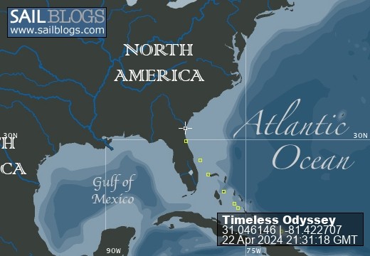
Planning is underway for a cruise from Portsmouth around the Baltic. Planned duration 4 months, starting June 2015. I have bought all the raster charts on the Imray Turcabo app for iPad and done extensive route planning with this tool. Yes, I am aware of the pitfalls and we will not be relying on it blindly. I also have the large scale paper charts and the pilot books. It does allow you to plot routes on marine raster charts and then transfer them onto the Simrad plotter on the boat (were you can check them against the data in the Navico system) and also load them onto a independent handheld GPS. You can also then view the routes in Google Earth, which of course does not help you with bathymetry and marine features but does give you a terrestrial perspective. We set up this blog and website so friends and family can track our progress once we set off. Broad plan is shown in the gallery Baltic Cruise, check out planning maps, which take in the Gota canal in Sweden and the Dutch mast-up route on the return journey.
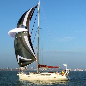
ALLURES 45 TIMELESS ODYSSEY
Who: The Crew; Martyn & Veronica (mostly), Dylan and Tayo (occasionally) and other good friends.
Port: Portsmouth
Favorites
Photo Albums


Comments