Last Chance ... A Two Year Journey
Leaving the Great Lakes for a Caribbean/Pacific adventure
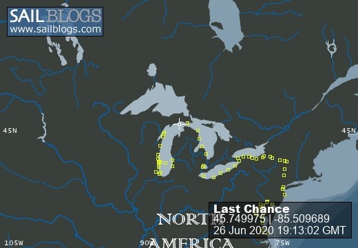
26 June 2020 | Beaver Island
24 June 2020 | Mackinac Island
21 June 2020 | Off Racine
02 May 2020 | Larsen Marine
09 April 2020 | Larsen Marine
17 August 2019 | Half way across the lake and back
20 July 2019 | Sturgeon Bay, WI
15 July 2019 | Start of Hook Race off Racine, Wi
24 June 2019 | Mackinac Island
16 June 2019 | Waukegan Harbor
30 May 2019 | Somewhere off Waukegan
29 April 2019 | Waukegan, IL
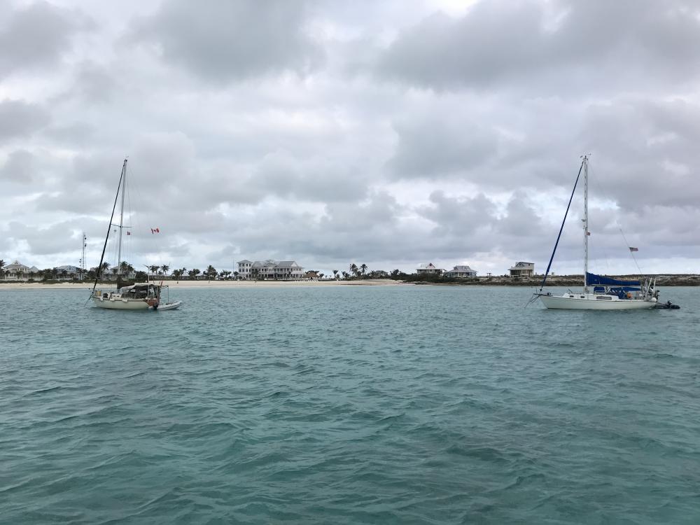
14 February 2019 | George Town, Exumas
12 February 2019 | Great Galliot Cay
11 February 2019 | Sampson Cay, Exumas, Bahamas
09 February 2019 | Big Majors Spot
08 February 2019 | Near Midway Airport, Chicago
01 February 2019 | Chicago
01 January 2019 | Larsen Marine
19 November 2018 | Hanover Park, IL
Nav alerts and testing weather apps.
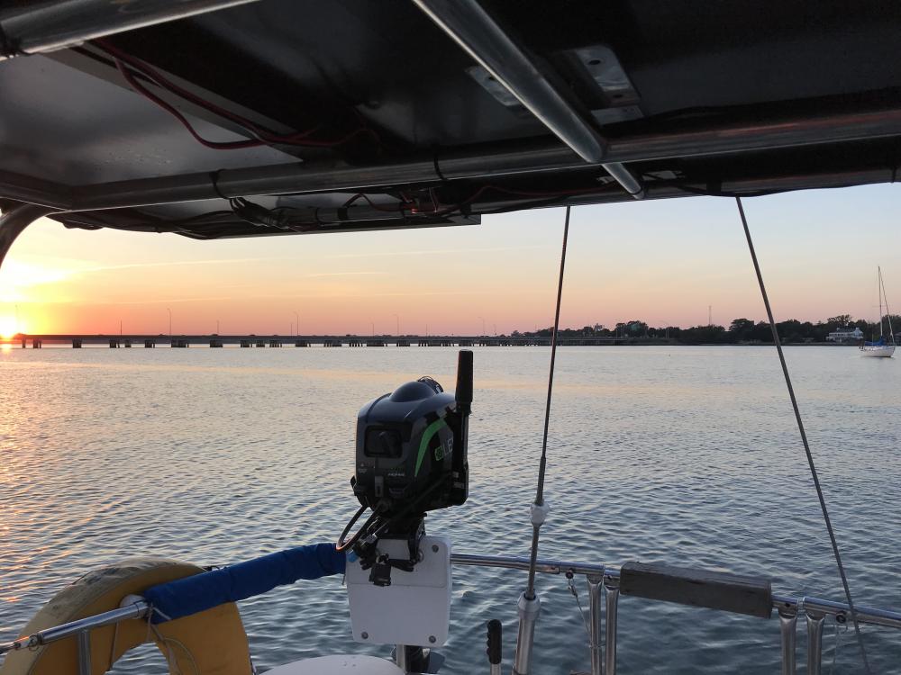
27 April 2018 | Daytona Beach
Sunny, 70’s. Breezy
I spent the morning going over the Waterway Guide Nav Alerts for where I am traveling tomorrow and where I traveled yesterday - I like to clean up old alerts that are no longer applicable. Someone beat me to the cleanup part. But I noticed a brand new alert on my chart, something someone submitted just a few days before and showed up one day too late for me. At New Smyrna Beach, where I was stuck for some time trying to find deep water, the alert said to go around and use the cut instead of risking the shoaling, which was always present and ever changing. Now they tell me. I see that tomorrow I have to transit one more active shoaling area with temporary buoys and such. One last test to see if I have this figured out yet or not. Probably not.
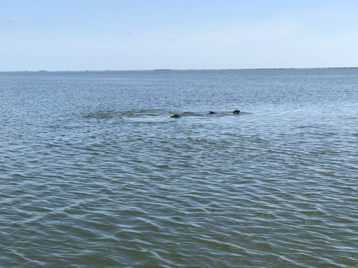
Yesterday, after passing another boat, I came across a bit of a commotion in the water. It appeared to be several manatees. The activity continued even as the boat behind me was coming right at them, not really paying attention to what was in front of their boat in the water. The water really got roiled up as the boat passed right up against the manatees. I bet the folks in the cockpit were startled, as were the manatees, who I’m sure gave them a loud thump on the hull, then continued carrying on.
Waterway Guide had a story about someone doing a real world test of weather apps in south Florida. They were using four apps, including Windy and my favorite, Predict Wind. Many apps use the freely distributed GFS model, which is given in Predict Wind. They mentioned that the European model is often considered the gold standard, which is also given in Predict Wind. They wondered if the weather was right for going in the Atlantic the next day to Miami, or should they take the protected route. Three apps said winds less than 10 knots. So they went in the Atlantic, but they were worried because Predict Wind gave a near 20 knot forecast that would have kept them off the ocean. The winds kept building and they regretted their choice of routes. They checked back with the other apps, and now the other apps were starting to come around to the same high wind forecast (or was it now a hindcast). So they declared Predict Wind the winner on the first day. Good enough for me.
Comments
| Vessel Name: | Last Chance |
| Vessel Make/Model: | Islander 36 (1979) |
| Hailing Port: | Waukegan, Illinois |
Last Chance's Photos - Main
 |
 |
 |
 |
 |
Traveling down the Chesapeake and the East Coast
53 Photos
Created 11 September 2017
|
 |
 |
 |
Port: Waukegan, Illinois