
List of Recent Blog Posts
S/V Ubiquity Information, Cruising Photos and Videos, Current Positon:
26 June 2023 | Portland, Oregon
24 August 2021 | Newport, Oregon
22 August 2021 | Warrenton, Oregon
01 February 2020 | Portland, Oregon
20 October 2019 | Portland, Oregon
02 October 2019 | Sandy Airport, Oregon
28 July 2019 | Portland, Oregon
04 November 2018 | Portland, Oregon
03 November 2018 | Portland, Oregon
30 October 2018 | Portland, Oregon
29 September 2018 | Portland, Oregon
15 September 2018 | Port Angeles, Washington
12 June 2018 | Portland, Oregon
02 June 2018 | Victoria, Canada
30 May 2018 | Ganges, Saltspring Island, Canada
27 May 2018 | Nanaimo, Canada
20 May 2018 | Portland, Oregon
20 May 2018 | Portland, Oregon
18 May 2018 | Portland, Oregon
The Long Passage, Part 2
07 April 2017 | La Paz, Mexico

My earlier post on "The Long Passage" previewed the 850 nm passage from Ensenada to La Paz, which S/V Ubiquity's crew has now completed. For us that was a long passage because it was longer than any of our prior passages.
So for many cruisers the experience of cruising involves new challenges that push you further than before.
The above graphic shows another long passage, not one S/V Ubiquity is currently doing, but rather a passage that friends, fellow cruisers, are currently doing. The left side of that graphic shows the progress of S/V Leigh Ann, an Alajuela 38 crewed by Doug and Sandra Asbe.
Doug and Sandra were on the same dock as S/V Ubiquity in La Paz, and we shared conversations and a dinner with them. They sailed down the coast from Seattle in 2016 and did the Baja Haha cruise in November, about the time that we were bunkered down in Newport, Oregon, waiting out gales.
For Doug and Sandra S/V Leigh Ann was a new boat for them and their prior sailing background was focused on racing, not cruising. So they took extra crew with them for help sailing down the west coast. Then they spent months sailing the Sea of Cortez. When we met Doug and Sandra they had decided they wanted to sail back to the Seattle region.
Once you have sailed your boat down the west coast to the Sea of Cortez, there are four main options for getting your boat back to the Pacific Northwest: 1) Motor-sail along the coast northbound against the prevailing winds (often called the "Baja Bash"), 2) Sail via Hawaii, 3) Sail via the "Clipper Route" (a far off-shore passage used by the Clipper Ships but seldom done anymore), 4) Ship your boat back via a cargo ship.
By the time we had met Doug and Sandra their confidence in their boat and themselves had grown so that they now felt confident to sail by themselves via route 2), the return via Hawaii. So they now are partway on their Hawaii passage (at the time I write this they are a little further along than shown in the graphic above). So Doug and Sandra are embracing a new challenge, part of the cruising lifestyle for many cruisers.
Looking at the graphic above, you will see to the right of the graphic showing Doug and Sandra's progress a graphic I captured recently showing the wind patterns for the passage. Looking at that graphic shows why it is easier to sail to Hawaii than sail up the west coast: you can sail with the winds rather than against the winds.
The right side of the graphic above is from a web site, Windytv.com, that shows weather forecasts in an intuitive graphic format, and that some of you might enjoy exploring.
The modern electronic tools we have to access current weather information gives modern cruisers an advantage compared to our predecessors. However, long-term cruise planning still depends on information compiled in pilot charts about seasonal weather patterns, which goes back to the work in the mid-1800's of Matthew Fontaine Maury in the U.S. Navy's Depot of Charts and Instruments.*
=====
*For anyone interested, Chapter 15 in Hal Roth's book "Handling Storms at Sea" has a discussion of the development of pilot charts.
Comments
| Vessel Name: | Ubiquity |
| Vessel Make/Model: | Pacific Seacraft 34 sailboat, 1987, hull #67 |
| Hailing Port: | Portland, Oregon |
| Crew: | Brian Stipak, Leslie Sawyer, sometimes others |
| About: | |
| Home Page: | http://web.pdx.edu/~stipakb/Ubiquity-Cruising.html |
| Social: |
|
Ubiquity's Photos - Main
 |
Marina Los Cabos in San Jose del Cabo, Sailing west of Cabo Falso, Canal de Cerrlavo, Playa Bonanza, La Paz, loading S/V Ubiquity on freighter
88 Photos
Created 25 April 2018
|
 |
Shows the “ghost town” of empty boulevards built by the government in Puerto Escondido, ashore on Isla San Juan, sailing south to La Paz, and several photos in La Paz, March 2018.
55 Photos
Created 23 March 2018
|
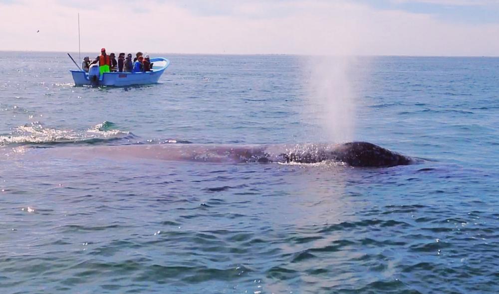 |
Santa Rosalia, Whale Watching, Isla Carmen including the Abandoned Salt Mine and Town at Salinas, March 2018
116 Photos
Created 20 March 2018
|
 |
Midriff Islands, and the Bahia de Los Angeles area
48 Photos
Created 19 March 2018
|
 |
Marina San Carlos, Marina Seca, Exploring the San Carlos Area, 2017, 2018
41 Photos
Created 19 February 2018
|
 |
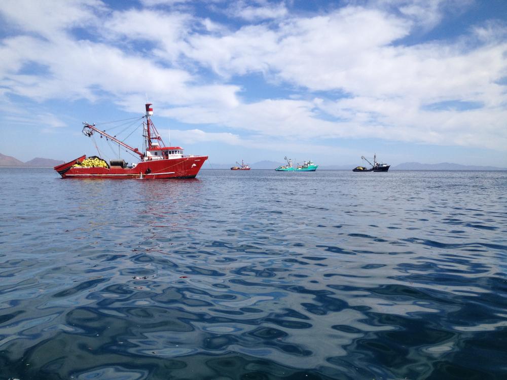
Cruising north in the Sea of Cortez from La Paz to Santa Rosalia. Then crossing the Sea to Bahia San Pedro, before arriving at Marina San Carlos, north of Guaymus, Sonora, Mexico. We hauled S/V Ubiquity at San Carlos for storage at the Marina Seca on-land storage facility for the summer.
119 Photos
Created 24 August 2017
|
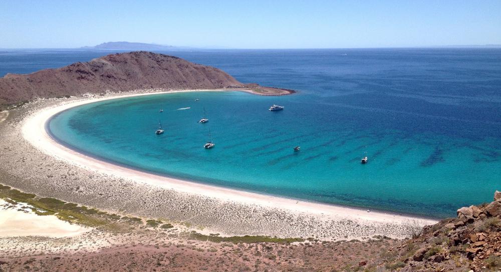 |
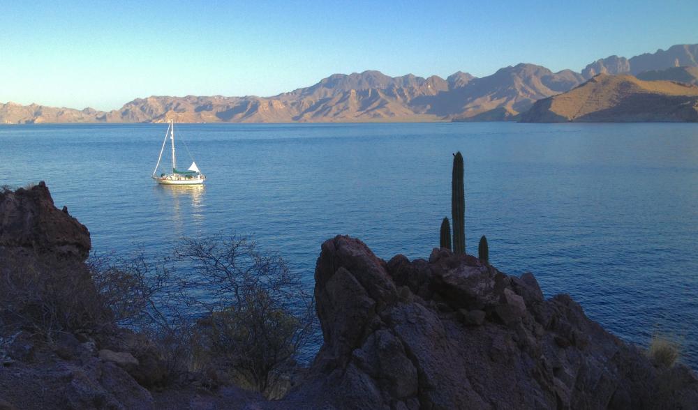
Cruising in the La Paz area, Spring 2017. El Cardoncito, San Evaristo, Isle San Francisco, Playa Bonanza
94 Photos
Created 3 April 2017
|
 |
 |
64 Photos
Created 20 January 2017
|
 |
 |
.jpeg) |
 |
14 Photos
Created 7 January 2017
|
.jpeg) |
38 Photos
Created 11 November 2016
|
.jpeg) |
.jpeg) |
October 7-9, 2016 get-together of friends in Cathlamet, Washinton. Photos show the kids in the group having fun.
6 Photos
Created 13 October 2016
|