
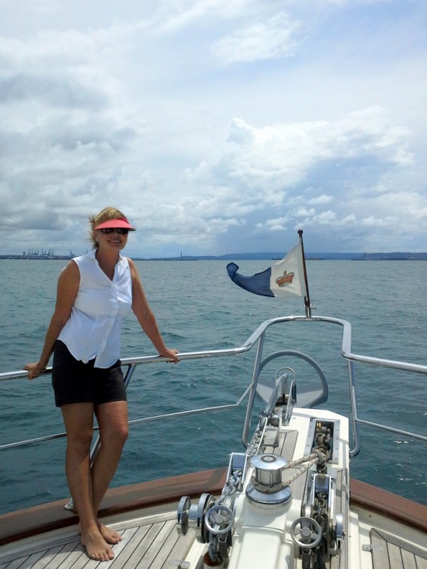
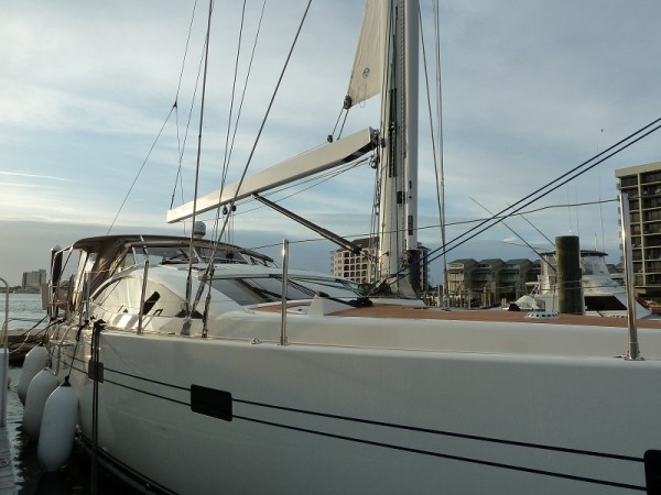
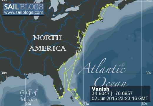
Vanish - Making The Switch From Sail to Power
29 October 2016 | Georgia, USA
29 October 2016 | Georgia, USA
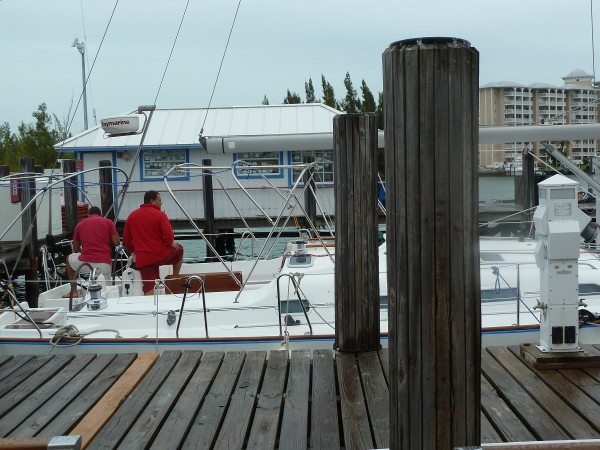
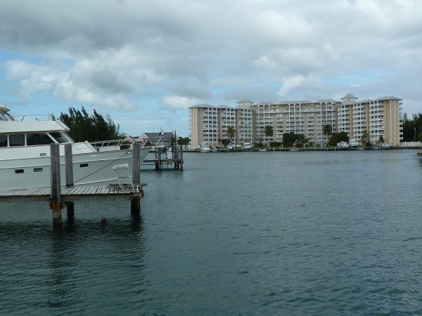
08 October 2016 | Brunswick, Georgia, USA
07 October 2016 | Hotel on West Side of Hwy I-95, Brunswick, GA, USA
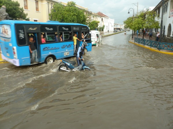
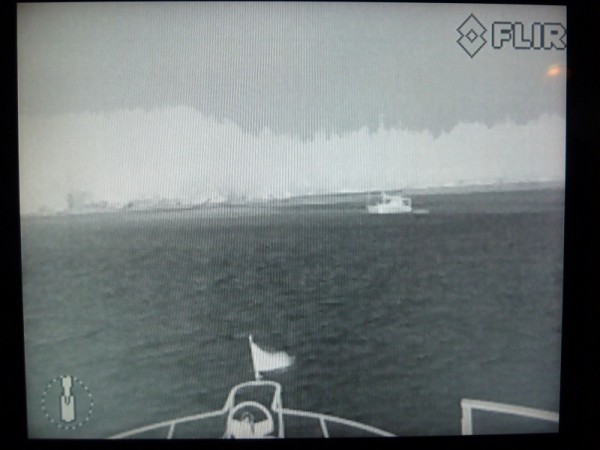
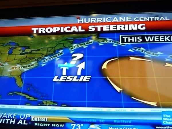
07 October 2016 | Brunswick, Georgia, USA
06 October 2016 | Brunswick, Georgia, USA
05 October 2016 | Brunswick, Georgia, USA
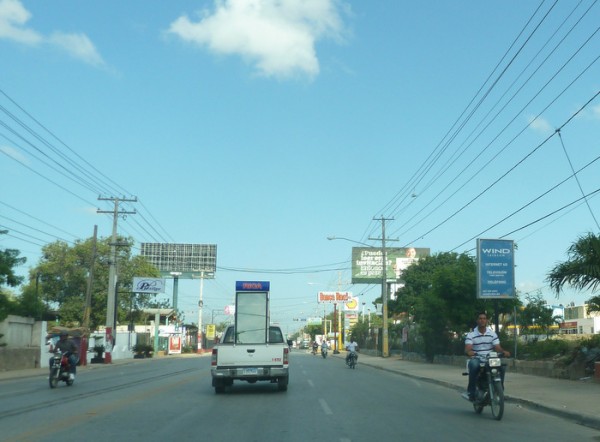
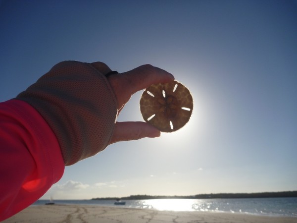
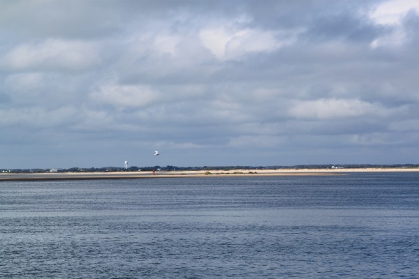
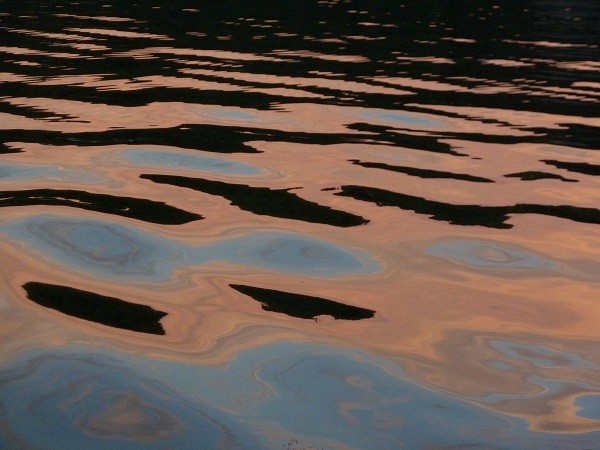
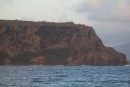
04 October 2016 | Photo off Outer Banks near Cape Lookout, North Carolina.
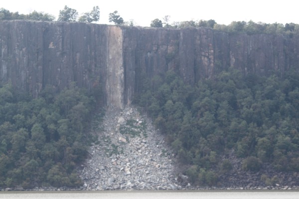
27 September 2016 | Piankatank River, Chesapeake Bay, Virginia, USA
22 September 2016 | Current Position - Sassafras River, Chesapeake Bay, Maryland, USA
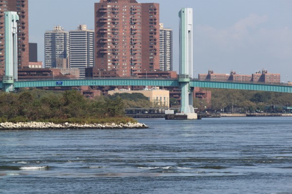
16 September 2016 | Orient, Long Island, New York, USA
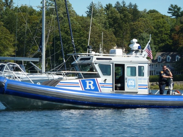
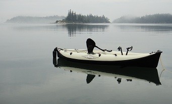
11 September 2016 | Ebenecook Harbor near Boothbay Harbor, Maine, USA
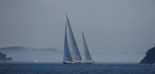
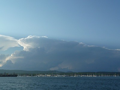
07 September 2016 | Penobscot Bay, Maine, USA
05 September 2016 | Penobscot Bay, Maine, USA
04 September 2016 | North Haven, Vinalhaven, Maine, USA
28 August 2016 | Castine, Maine, USA
27 August 2016 | Belfast, Maine, USA
12 August 2016 | Mount Washington, New Hampshire, USA
06 August 2016 | Canada/USA Border Crossing
04 August 2016 | La Malbaie, Quebec, Canada
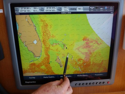
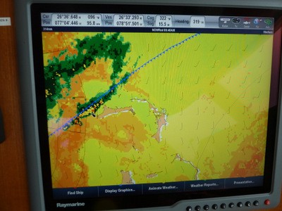
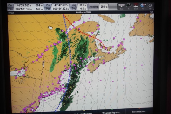
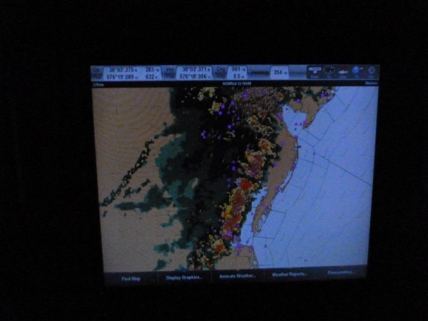
Navigational Tools and Apps
10 September 2013 | Offshore Colombia - 10 deg 51.115N;70 deg 24.643W
Vicki – Cloud 5/8, Air 30 deg C, Air 30 deg C, Wind 6 kn SW, Sea < 1m
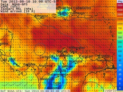
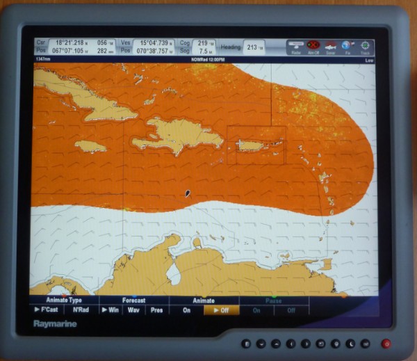
Before leaving Santa Marta yesterday, Maynard downloaded a programme called ZyGrib (you can find it on Google) which was suggested to us by Diana and Andrew who are soon to complete a 4 year round the world trip on their cutter rigged yacht 35ft Saviah. It is a very comprehensive World-Wide weather forecasting programme which has the normal functions of wind and waves but also has a lot of other indicators such as winds and isobars at various altitudes in the atmosphere, CAPE and CIN. These initial tools are very handy for storm predictions, especially in the tropics. CAPE is a measure of how much electricity is actually stored in the atmosphere and CIN is a measure of the atmosphere's capacity to store electricity. Using these two maps, one can get an idea as to where the thunderstorm hotspots might be well in advance of actually seeing any sign of a storm. The above CAPE map which was generated at the time of writing this post shows that the Central Caribbean has high capacity for thunderstorms whereas the area where we are which is about 40 miles from Cartagena has a relatively low electrical charge and hence accounts for the clear weather we're currently experiencing with a few cumulus clouds in the vicinity. You can also see that the winds are very light and the sea state is no more than 0.3 m which was ZyGrib's forecast.
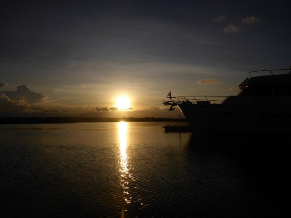
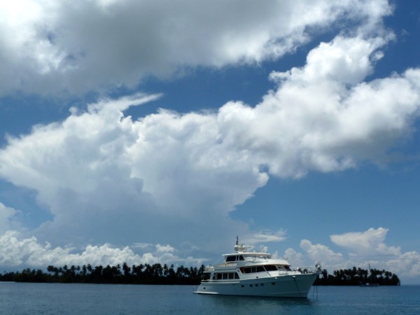
After refueling at the Santa Marta Marina and saying fond goodbyes to the staff, we motored 57 miles yesterday following the Colombian coastline passing the Magdalena River which has a reputation for large debris and weird currents and waves. We've seen numerous large logs floating 4 to 5 miles offshore and clumps of weed which we've managed to dodge. We arrived at Puerto Velero as the sun was setting. Interestingly, the book The Cruising Guide to Colombia, our Raymarine Charts and the latest paper Colombian chart all had the point at Puerto Velero plotted 1mile north of its actual position. The Magdalena River dumps so much sediment into this area that all charts say that depths and land forms can significantly change from year to year so a visual approach was necessary. The Magdalena River is one of the largest rivers in South America. We anchored opposite a marina in a large sheltered bay with good mud holding in 6 m of dead flat water.

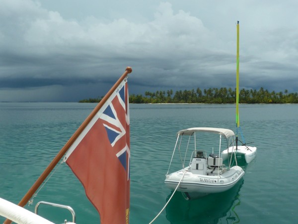
Storms popped up after sundown so Maynard set the anchor alarm on a new App on his Samsung Galaxy 8.0 Note with inbuilt accurate GPS called My Anchor Watch. There are versions for Android or Apple. This is a really fantastic App as we can now turn off all boat electronics to save electricity overnight. The App itself keeps a very close track of the vessel's position and has a loud alarm which sounds as soon as you get a preset distance away from the anchor. Maynard found this App recommended on Kens Blog. Ken is currently on a Nordhavn 68 and has written one of the most followed blogs ever on a power boat. It Is full of information and we've read his 3 books generated from that blog as they are so interesting. Thank you Ken.
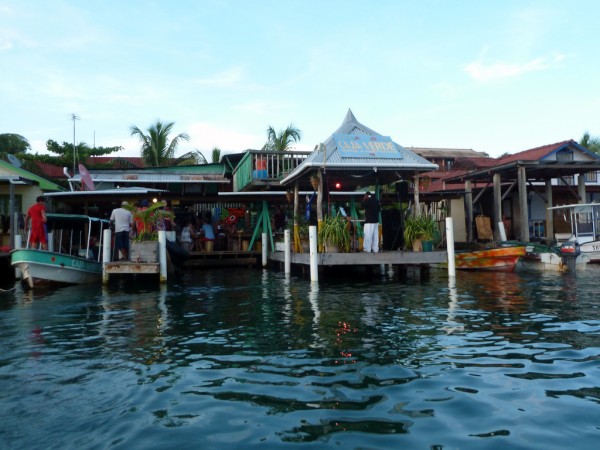
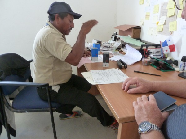
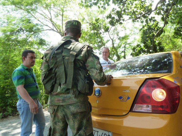
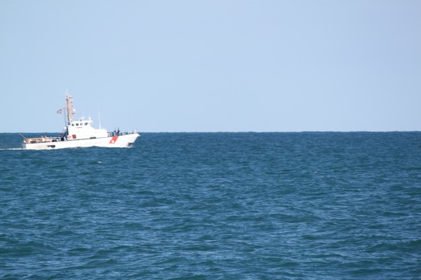
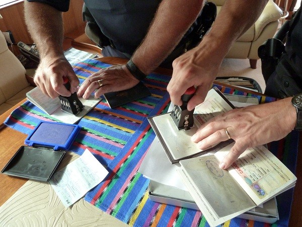
At 0730 we were visited by Colombian Armada Nacionale (Coast Guard) who came on board to check our Zarpe (Clearance) papers, inspect the boat and make sure all was well. We told them we were just about to weigh anchor and they looked disappointed as they would have allowed us to stay much longer if we wished to do so. They were extremely polite and cheerful and loved the boat. They probably don't see too many like ours down this way.
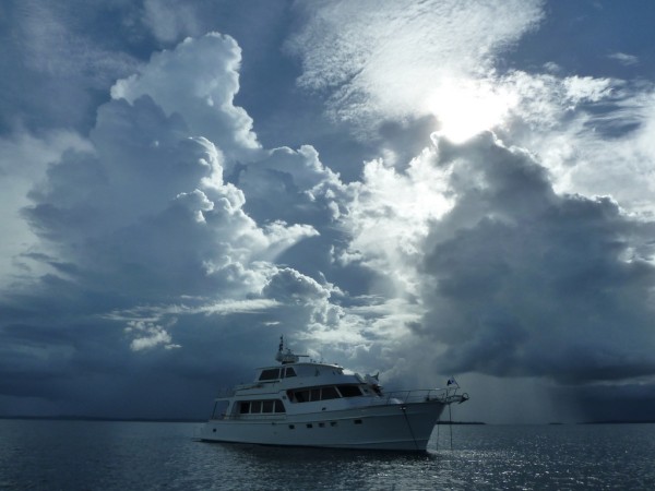
If you're wondering about buying Colombian fuel, we were charged $US4.40 per gallon and have been polishing the fuel on a 2 micron filter with no significant problems yet.
After refueling at the Santa Marta Marina and saying fond goodbyes to the staff, we motored 57 miles yesterday following the Colombian coastline passing the Magdalena River which has a reputation for large debris and weird currents and waves. We've seen numerous large logs floating 4 to 5 miles offshore and clumps of weed which we've managed to dodge. We arrived at Puerto Velero as the sun was setting. Interestingly, the book The Cruising Guide to Colombia, our Raymarine Charts and the latest paper Colombian chart all had the point at Puerto Velero plotted 1mile north of its actual position. The Magdalena River dumps so much sediment into this area that all charts say that depths and land forms can significantly change from year to year so a visual approach was necessary. The Magdalena River is one of the largest rivers in South America. We anchored opposite a marina in a large sheltered bay with good mud holding in 6 m of dead flat water.
Storms popped up after sundown so Maynard set the anchor alarm on a new App on his Samsung Galaxy 8.0 Note with inbuilt accurate GPS called My Anchor Watch. There are versions for Android or Apple. This is a really fantastic App as we can now turn off all boat electronics to save electricity overnight. The App itself keeps a very close track of the vessel's position and has a loud alarm which sounds as soon as you get a preset distance away from the anchor. Maynard found this App recommended on Kens Blog. Ken is currently on a Nordhavn 68 and has written one of the most followed blogs ever on a power boat. It Is full of information and we've read his 3 books generated from that blog as they are so interesting. Thank you Ken.
At 0730 we were visited by Colombian Armada Nacionale (Coast Guard) who came on board to check our Zarpe (Clearance) papers, inspect the boat and make sure all was well. We told them we were just about to weigh anchor and they looked disappointed as they would have allowed us to stay much longer if we wished to do so. They were extremely polite and cheerful and loved the boat. They probably don't see too many like ours down this way.
If you're wondering about buying Colombian fuel, we were charged $US4.40 per gallon and have been polishing the fuel on a 2 micron filter with no significant problems yet.
Comments
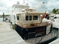
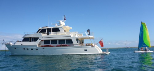
| Vessel Name: | Vanish |
| Vessel Make/Model: | Marlow Voyager 76LR |
| Hailing Port: | Brisbane, Queensland, Australia |
| Crew: | Maynard and Vicki |
| Home Page: | sailblogs.com/member/vanish |
Vanish's Photos - Main
 |
|
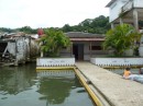
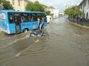
Post Hurricane Matthew, Brunswick, GA, USA
15 Photos
Created 8 October 2016
|
|
|
|
|
|
|
|
|
|
|
|
|
|
|
|
Saguaney to La Malbaie, Quebec, Canada
28 Photos
Created 20 August 2016
|
|
|
|
|
|
|
|
|
|
|
|
|
Narragansett Bay, Rhode Island, USA
9 Photos
Created 11 June 2016
|
|
Noyack Bay, nr Sag Harbor, Long Island, New York
7 Photos
Created 11 June 2016
|
|
 |
|
|
|
|
|
|
Eatons Neck, Long Island, New York, USA
2 Photos
Created 16 September 2015
|
|
Massachusetts and Long Island, New York, USA
9 Photos
Created 16 September 2015
|
|
|
|
|
|
|
|
|
|
Norfolk, Virginia to Mattapoisett, Massachussets, USA
16 Photos
Created 17 June 2015
|
|
ICW Beaufort, North Carolina, to Norfolk, Virginia, USA
16 Photos
Created 12 June 2015
|
|
|
2015 Brunswick, Georgia to Beaufort, North Carolina
12 Photos
Created 4 June 2015
|
 |
 |
 |
 |
 |
 |
 |
 |
 |
 |
 |
 |
 |
 |
 |
 |
 |
 |
 |
 |
 |
 |
 |
 |
 |
 |
 |
 |
 |
 |
Exploring the Interior of the Dominican Republic
26 Photos
Created 24 April 2013
|
 |
Samana Bay to La Romana, Dominican Republic
12 Photos
Created 19 April 2013
|
 |
 |
Samana Bay, Dominican Republic
10 Photos
Created 10 April 2013
|
 |
Dominican Republic
12 Photos
Created 5 April 2013
|
 |
 |
 |
 |
 |
 |
 |
 |
Eleuthera, The Bahamas
12 Photos
Created 25 February 2013
|
 |
 |
 |
 |
 |
 |
 |
Elbow Reef Lighthouse, Hope Town, Abaco, The Bahamas
35 Photos
Created 29 November 2012
|
 |
 |
 |
 |
 |
Hurricane Sandy in the Bahamas
9 Photos
Created 24 October 2012
|
 |
 |
 |
 |
 |
 |
Barden Inlet, Nr Beaufort, North Carolina, USA
4 Photos
Created 4 October 2012
|
 |
Cape Lookout Area near Beaufort, North Carolina, USA
5 Photos
Created 2 October 2012
|
 |
 |
New York State of Mind, USA
13 Photos
Created 27 September 2012
|
 |
 |
 |
 |
 |
 |
 |
 |
 |
 |
Rockland, Maine to Trafton Island, Maine, USA
14 Photos
Created 3 September 2012
|
 |
 |
Orcutt Harbor and Horseshoe Cove areas, Maine, USA
2 Photos
Created 26 August 2012
|
 |
 |
 |
 |
 |
 |
 |
 |
 |
Somes Sound, Mt Desert Island to Bar Harbor, Mt Desert Island in Maine, USA
16 Photos
Created 6 August 2012
|
 |
 |
Pictures from Seal Cove, Vinalhaven, Maine, USA
4 Photos
Created 29 July 2012
|
 |
Rockland, Maine and Matinicus Rock, Maine, USA
15 Photos
Created 28 July 2012
|
 |
 |
Portland, Maine to The Basin, Phippsburg, Maine, USA
22 Photos
Created 20 July 2012
|
 |
Anchorage view from House Island, South Portland, Maine, USA
4 Photos
Created 18 July 2012
|
 |
 |
 |
 |
Chesapeake Bay - Virginia & Maryland, USA
3 Photos
Created 30 June 2012
|
 |
Vanish
Who: Maynard and Vicki
Port: Brisbane, Queensland, Australia
Gallery

Favourites - Videos & Websites
- Flopper Stopper Info
- Puffin Live Streaming (During June/July/August)
- Video - Life's A Beach
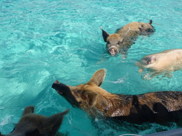
- Video - Swimming Pigs of Staniel Cay, Exuma, Bahamas
- Wide Open Throttle
- Free Cruising Guides
- Intellicast Infrared Weather
- zyGrib Weather Forecasting
- Pink Sand Beach at Harbour Island aka Briland, Eleuthera, The Bahamas
- Power & Motoryacht Magazine Article on Vanish Mar 2013
- Amazing Limbo Dancer Vicki Filmed at Port Lucaya, Grand Bahama Dec 2012
- Puffin and Foghorn Sounds at Matinicus Rock, Maine, USA
- Take A Peek Inside Vanish