Whisper Sailing
Bill and Judy's adventures continue..........

25 February 2019 | Ragged Islands, Bahamas
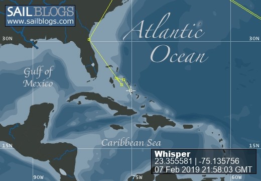
07 February 2019 | Thompson Bay, Long Island
06 February 2019 | Warderick Wells Exuma Park
22 January 2019 | Alabaster Bay, Eleuthera
22 December 2018 | Spanish Wells Eleuthra
25 February 2018 | Exumas, Bahamas
21 November 2017 | George Town, Exuma
24 April 2017 | Bahamas
03 April 2017 | Thompson Bay
31 March 2017 | Great Exuma
28 February 2017 | Palm Cay Marina
17 February 2017 | Palm Cay Marina, Nassau, Bahamas
27 January 2017 | Little Farmers Cay, Exemas
14 January 2017 | Exuma Bahamas
26 December 2016 | Spanish Wells, Bahamas
19 December 2016 | Devils Cay, Berry Islands
19 December 2016 | Addison NASA Bridge
19 December 2016 | Cave Cay to Spence Rock
04 December 2016 | Abacos Bahamas
12 November 2016 | Jacksonville Beach FL
Ya Do Whatcha Gotta Do
19 December 2016 | Cave Cay to Spence Rock
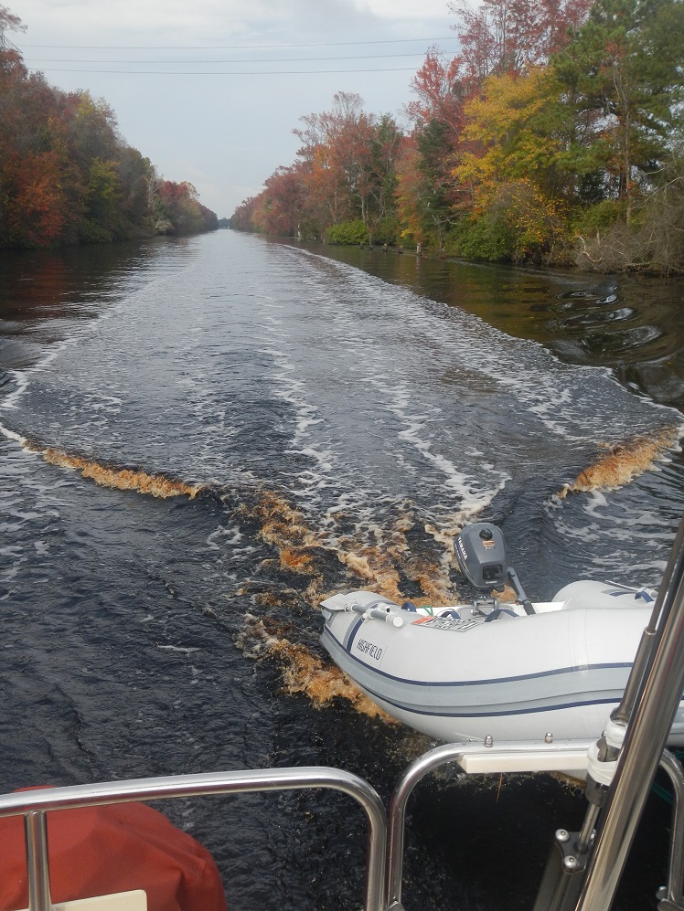
We had two choices for leaving the Abacos to reach the Berry Islands. We could follow the inner route from Marsh Harbor through the islands to Little Harbor, go into the Atlantic to pass Sandy Point, and then take a left on the Northwest Providence Channel or we could go directly south from Little Abaco through the Bight of Abaco to enter the Channel northeast of the Berries. The guides say few people do the Bight as it is shallow and has no facilities. But the Abaco route has many distractions and would take us a lot longer to get to our destination so we choose the Bight.
The main challenge of this route is the entrance, a marked "path" on the chart through very shallow water to Spence Rock .... No buoys, no range marks, nothing but a dotted line on a chart. And the line passes over a 4 foot spot or two. We can do it with high water as we draw 4.5 feet. High water, therein lies the problem. The only valid tide location is in Nassau, 50+ miles away. One guidebook says high tide at our location was 20 minutes after Nassau, another book said two hours and a third source said 2-4 hours. Hmmmmmmm. We had also been warned by a local to go the channel at slack tide as there can be a lot of current running. Great.... How do we figure out the timing?
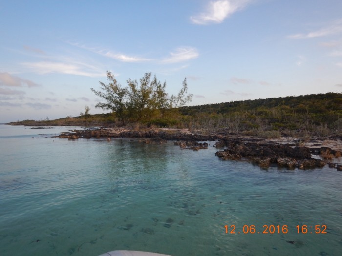
We use our tools. We observe the water level marks on the rocks on shore to determine when the water is rising and falling. Did I mention we were all alone in a pristine anchorage at Cave Cay? We would love to stay but we need to leave on a rising tide and we need to get 30 miles down the Bight in as much daylight as possible. We estimated high tide was around 2pm give or take! So at noon we jump in the dinghy with our Hawkeye portable depth sounder and our handheld GPS. We take soundings with the Hawkeye at the spots on the GPS screen where there is a surveyed depth. Ah Ha! We see we have at least a foot and a half more water on the Hawkeye than on the GPS chart. We hoist anchor and successfully transit the Spence Rock Channel into the Bight.
The main challenge of this route is the entrance, a marked "path" on the chart through very shallow water to Spence Rock .... No buoys, no range marks, nothing but a dotted line on a chart. And the line passes over a 4 foot spot or two. We can do it with high water as we draw 4.5 feet. High water, therein lies the problem. The only valid tide location is in Nassau, 50+ miles away. One guidebook says high tide at our location was 20 minutes after Nassau, another book said two hours and a third source said 2-4 hours. Hmmmmmmm. We had also been warned by a local to go the channel at slack tide as there can be a lot of current running. Great.... How do we figure out the timing?
We use our tools. We observe the water level marks on the rocks on shore to determine when the water is rising and falling. Did I mention we were all alone in a pristine anchorage at Cave Cay? We would love to stay but we need to leave on a rising tide and we need to get 30 miles down the Bight in as much daylight as possible. We estimated high tide was around 2pm give or take! So at noon we jump in the dinghy with our Hawkeye portable depth sounder and our handheld GPS. We take soundings with the Hawkeye at the spots on the GPS screen where there is a surveyed depth. Ah Ha! We see we have at least a foot and a half more water on the Hawkeye than on the GPS chart. We hoist anchor and successfully transit the Spence Rock Channel into the Bight.
Comments
| Vessel Name: | Whisper |
| Vessel Make/Model: | Tartan 34-2 |
| Hailing Port: | Milwaukee WI |
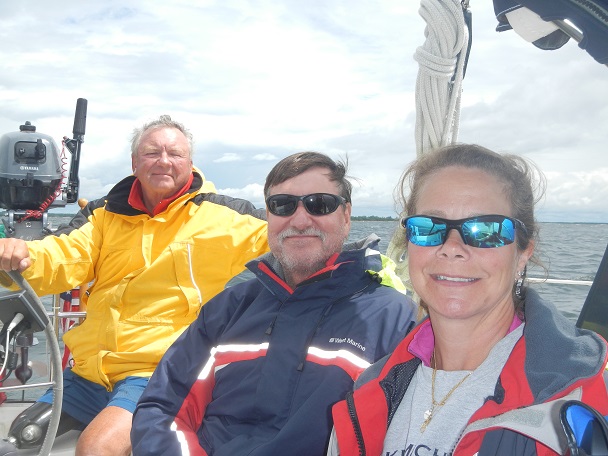
| Crew: | Bill and Judy |
| Social: |
|
Whisper's Photos - Main
.jpeg) |
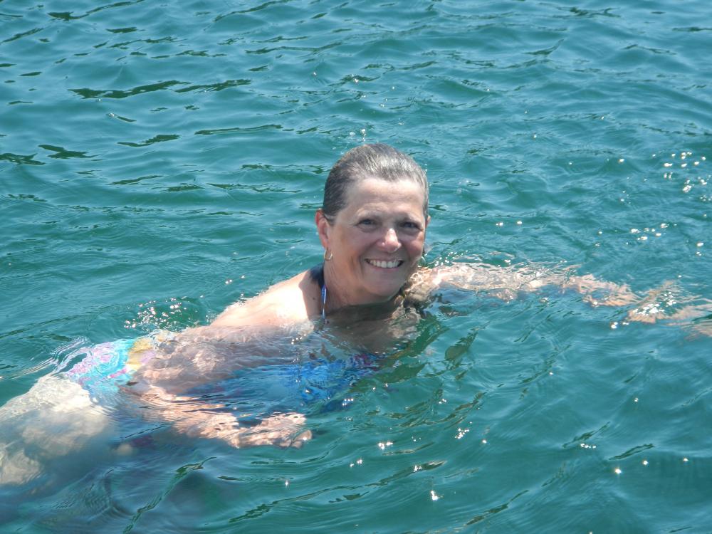
Every shade of blue-green-purple greets our eyes on a continuing basis
15 Photos
Created 24 April 2017
|
 |
Our first island anchorages were in the Berries. Sugar sand beaches, clear blue water, conch and starfish, everyday a new wonderful experience.
10 Photos
Created 16 April 2016
|
 |
We are spending over a week in Bimini waiting for weather to cross to the Berry Islands (a 75 mile crossing that will require two good days). So we walk, drive, and dinghy our way around North Bimini to learn about the land and the people.
20 Photos
Created 6 February 2016
|
 |
There were many projects we did to upgrade Whisper to a more efficient, comfortable, safe and enjoyable boat.
7 Photos
Created 10 January 2016
|
 |
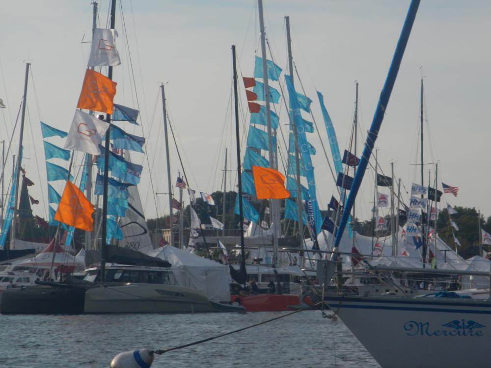
The many contrasting scenes on the Intercoastal Waterway
36 Photos
Created 25 December 2015
|
 |
Our favorite anchorage on the eastern shore. The cove featured St Martin Point house and grounds, a 19th century home with accommodations for eighteen people, currently available as vacation rental. Dan, the caretaker invited us to explore the house and grounds.
14 Photos
Created 28 October 2015
|
 |
 |
 |
 |
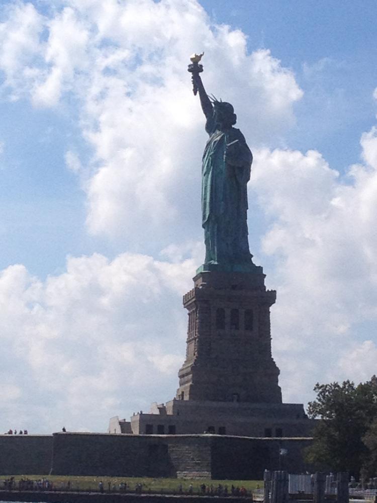 |
Highlights of our stay in the Big Apple
14 Photos
Created 2 October 2015
|
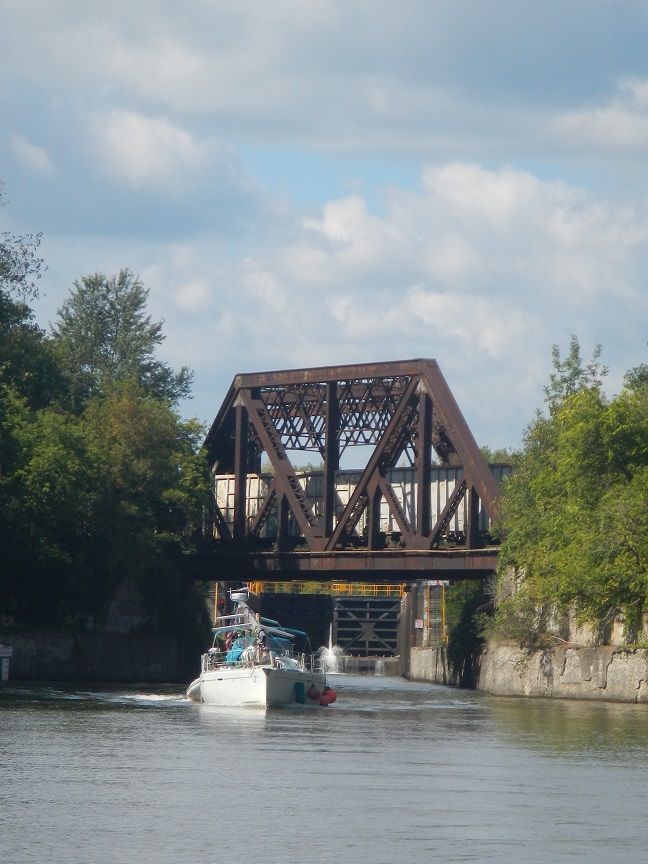 |
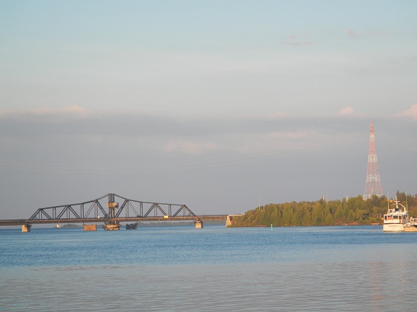
Fixed bridges, lift bridges, railroad bridges, road bridges, bridges to nowhere.
8 Photos
Created 13 September 2015
|
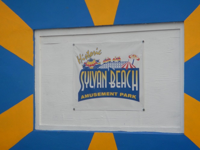 |
"I stayed too long at the fair"
12 Photos
Created 11 September 2015
|
 |
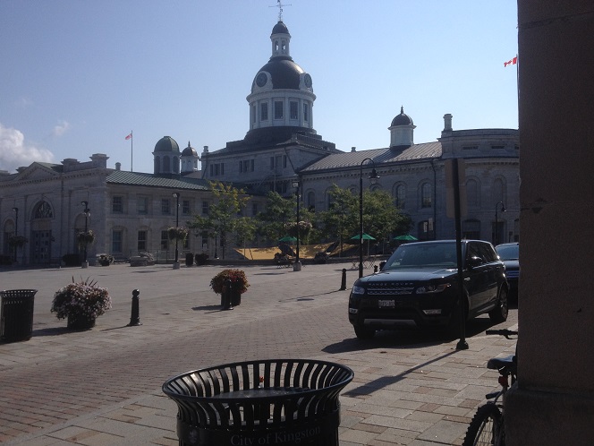 |
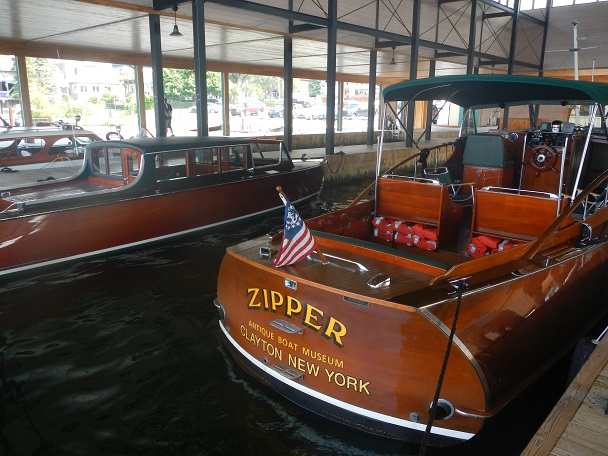
I walked from the yacht club to the downtown area to purchase a nautical chart at the general store. Charming homes from the mid-1800s with fenced in yards and patios. Main square at City Hall has umbrella tables and chairs to enjoy the fresh air. Lots of interesting shops and restaurants, wished we could stay longer.
7 Photos
Created 27 August 2015
|
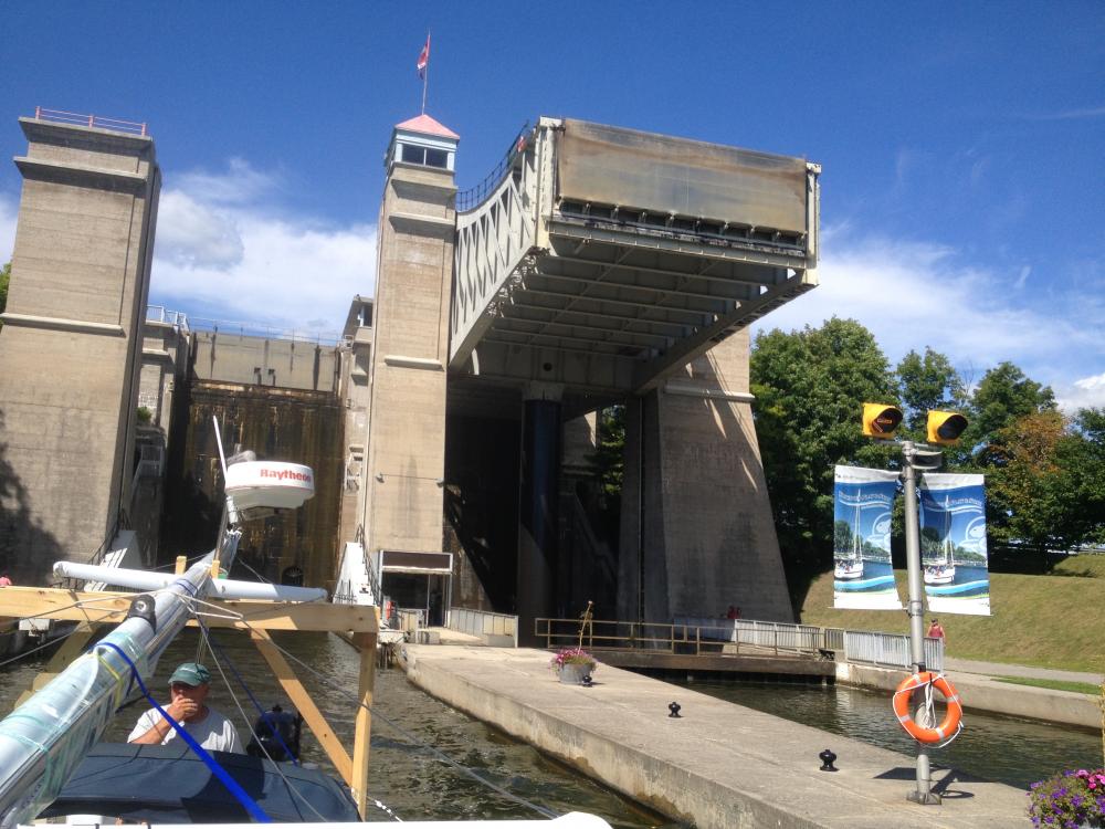 |
Transiting the 243 miles of the Trent Severn Waterway system
5 Photos
Created 25 August 2015
|
 |
 |
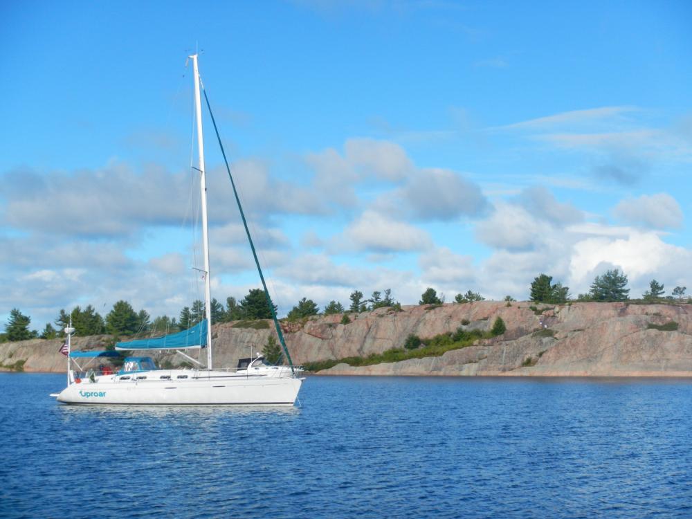
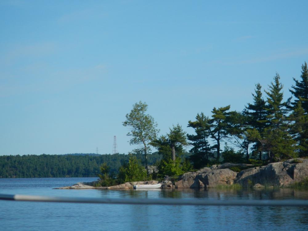
We took Whisper on a loop through the French River Small Craft Route with Russ and Lisa onboard. Uproar can't do the route because of depth...and maybe width!
8 Photos
Created 3 August 2015
|
 |
 |
We spent the past week attempting to show Sue all of our favorite places... we got in quite a few!!!
7 Photos
Created 23 July 2015
|
 |
 |
Scenes from one of our favorite places on Lake Michigan
5 Photos
Created 10 July 2015
|
 |
Preparation for our extended cruise from Milwaukee, WI to the Bahamas and ????
3 Photos
Created 17 June 2015
|
Who: Bill and Judy
Port: Milwaukee WI
Gallery
.jpeg)